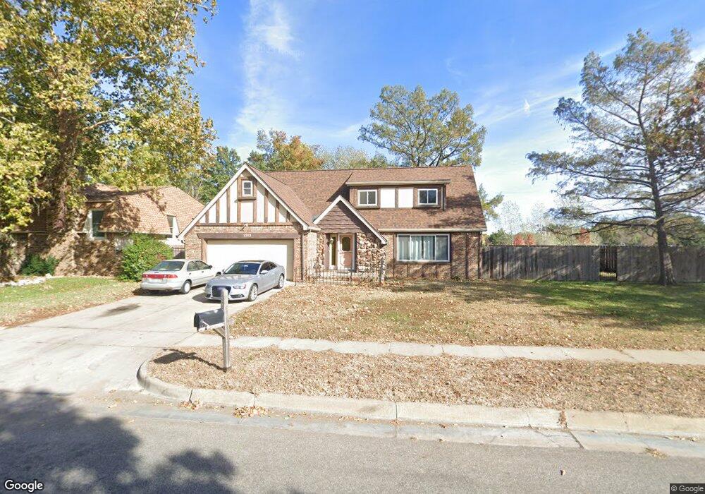
1212 N Westlink Ave Wichita, KS 67212
Westlink NeighborhoodEstimated Value: $289,431 - $314,000
4
Beds
4
Baths
2,823
Sq Ft
$107/Sq Ft
Est. Value
About This Home
This home is located at 1212 N Westlink Ave, Wichita, KS 67212 and is currently estimated at $301,716, approximately $106 per square foot. 1212 N Westlink Ave is a home located in Sedgwick County with nearby schools including McCollom Elementary School, Wilbur Middle School, and Wichita Northwest High School.
Ownership History
Date
Name
Owned For
Owner Type
Purchase Details
Closed on
Oct 30, 2009
Sold by
Mccormick Mary F and Mccormick Michael T
Bought by
George Ikoma A
Current Estimated Value
Home Financials for this Owner
Home Financials are based on the most recent Mortgage that was taken out on this home.
Original Mortgage
$142,373
Outstanding Balance
$93,106
Interest Rate
5.03%
Mortgage Type
FHA
Estimated Equity
$208,610
Purchase Details
Closed on
Feb 17, 2009
Sold by
Graham Betty J
Bought by
Graham Betty J
Purchase Details
Closed on
Nov 10, 2000
Sold by
Graham Betty J
Bought by
Graham Craig L and Graham Bill J
Create a Home Valuation Report for This Property
The Home Valuation Report is an in-depth analysis detailing your home's value as well as a comparison with similar homes in the area
Home Values in the Area
Average Home Value in this Area
Purchase History
| Date | Buyer | Sale Price | Title Company |
|---|---|---|---|
| George Ikoma A | -- | None Available | |
| Graham Betty J | -- | None Available | |
| Graham Craig L | -- | -- |
Source: Public Records
Mortgage History
| Date | Status | Borrower | Loan Amount |
|---|---|---|---|
| Open | George Ikoma A | $142,373 |
Source: Public Records
Tax History Compared to Growth
Tax History
| Year | Tax Paid | Tax Assessment Tax Assessment Total Assessment is a certain percentage of the fair market value that is determined by local assessors to be the total taxable value of land and additions on the property. | Land | Improvement |
|---|---|---|---|---|
| 2025 | $2,789 | $27,911 | $5,014 | $22,897 |
| 2023 | $2,789 | $25,841 | $3,358 | $22,483 |
| 2022 | $2,634 | $23,610 | $3,174 | $20,436 |
| 2021 | $2,549 | $22,276 | $3,174 | $19,102 |
| 2020 | $2,412 | $21,011 | $3,174 | $17,837 |
| 2019 | $2,254 | $19,631 | $3,174 | $16,457 |
| 2018 | $2,130 | $18,515 | $2,139 | $16,376 |
| 2017 | $2,097 | $0 | $0 | $0 |
| 2016 | $2,012 | $0 | $0 | $0 |
| 2015 | $1,960 | $0 | $0 | $0 |
| 2014 | $1,920 | $0 | $0 | $0 |
Source: Public Records
Map
Nearby Homes
- 9801 W 12th St N
- 9804 W 12th St N
- 9221 W Suncrest St
- 9336 W Briarwood Ct
- 1138 N Chipper Ln
- 1112 N Westfield Ave
- 9026 W Harvest Ct
- 8930 W Suncrest St
- 1534 N Valleyview Ct
- 1548 N Amarado Ct
- 860 N Valleyview St
- 967 N Robin Rd
- 1106 N Lark Ln
- 1736 N Amarado St
- 10701 W Harvest Ct
- 1671 N Maybelle St
- 1109 N Lark Ln
- 10726 W Ponderosa Cir
- 8608 W Nantucket St
- 1544 N Westgate St
- 1220 N Westlink Ave
- 9508 W Harvest Ln
- 1228 N Westlink Ave
- 1236 N Westlink Ave
- 1205 N Murray St
- 1217 N Westlink Ave
- 1209 N Westlink Ave
- 1225 N Westlink Ave
- 1201 N Westlink Ave
- 1244 N Westlink Ave
- 1211 N Murray St
- 1301 N Westlink Ave
- 9414 W Harvest Ln
- 9711 W 12th St N
- 1210 N Murray St
- 9716 W Harvest Ct
- 1307 N Westlink Ave
- 1251 N Murray St
- 9720 W Harvest Ct
- 9719 W 12th St N