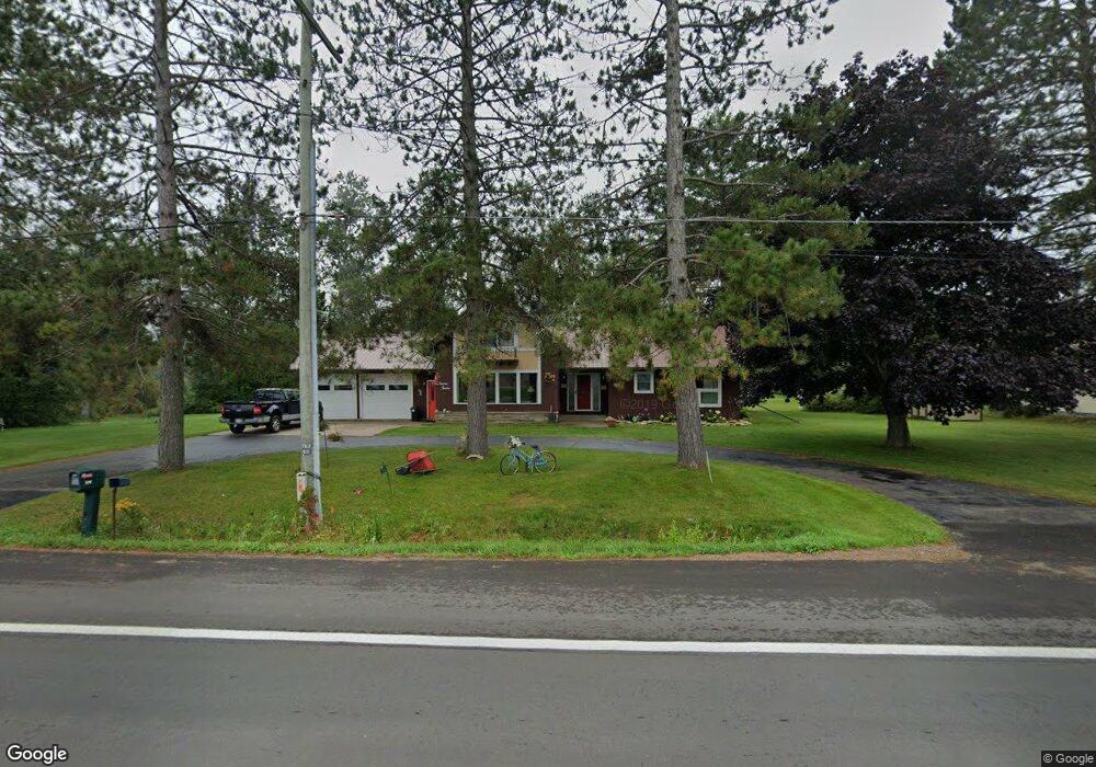
1212 Riverside Dr Sault Sainte Marie, MI 49783
Estimated Value: $275,026 - $344,000
4
Beds
3
Baths
1,764
Sq Ft
$181/Sq Ft
Est. Value
About This Home
This home is located at 1212 Riverside Dr, Sault Sainte Marie, MI 49783 and is currently estimated at $318,757, approximately $180 per square foot. 1212 Riverside Dr is a home located in Chippewa County with nearby schools including Lincoln School, Sault Area Middle School, and Sault Area High School.
Ownership History
Date
Name
Owned For
Owner Type
Purchase Details
Closed on
Aug 27, 2014
Sold by
John John and Erkkila Margaret
Bought by
Vanluven Ralph and Caruso Vanluven Cindy J
Current Estimated Value
Home Financials for this Owner
Home Financials are based on the most recent Mortgage that was taken out on this home.
Original Mortgage
$77,158
Outstanding Balance
$25,410
Interest Rate
4.11%
Mortgage Type
Purchase Money Mortgage
Estimated Equity
$293,347
Create a Home Valuation Report for This Property
The Home Valuation Report is an in-depth analysis detailing your home's value as well as a comparison with similar homes in the area
Home Values in the Area
Average Home Value in this Area
Purchase History
| Date | Buyer | Sale Price | Title Company |
|---|---|---|---|
| Vanluven Ralph | $155,000 | -- |
Source: Public Records
Mortgage History
| Date | Status | Borrower | Loan Amount |
|---|---|---|---|
| Open | Vanluven Ralph | $77,158 |
Source: Public Records
Tax History Compared to Growth
Tax History
| Year | Tax Paid | Tax Assessment Tax Assessment Total Assessment is a certain percentage of the fair market value that is determined by local assessors to be the total taxable value of land and additions on the property. | Land | Improvement |
|---|---|---|---|---|
| 2025 | $5,659 | $123,600 | $0 | $0 |
| 2024 | $3,395 | $110,000 | $0 | $0 |
| 2023 | $3,723 | $103,200 | $0 | $0 |
| 2022 | $3,723 | $85,100 | $0 | $0 |
| 2021 | $3,561 | $99,100 | $0 | $0 |
| 2020 | $3,495 | $95,600 | $0 | $0 |
| 2019 | $3,427 | $83,100 | $0 | $0 |
| 2018 | $3,335 | $78,600 | $0 | $0 |
| 2017 | $2,732 | $77,400 | $0 | $0 |
| 2016 | $2,699 | $74,800 | $0 | $0 |
Source: Public Records
Map
Nearby Homes
- 1164 E Spruce St
- 1109 Mann Dr
- 1096 Maple St
- Parcel A Shunk Rd
- 2039 Riverside Dr
- 724 Cedar St
- 721 E Spruce St
- . E 10th Ave
- 1601 Seymour St
- 2017 S Whitehead Rd
- 1025 Swinton St
- 309 Johnston St
- 405 Johnston St
- 412 Maple St
- 804 Newton Ave
- 1002 Superior St
- 920 Superior St
- 337 E Portage Ave
- 612 Kimball St
- 370 Dawson St
- 1212 Riverside Dr
- 207 Mission Rd
- 207 Mission St
- 300 Golf Court Dr
- 201 Mission Rd
- 305 Golf Court Dr
- 301 Golf Court Dr
- 301 Golf Court Dr
- 209 Mission Rd
- 302 Golf Court Dr
- 301 Mission Rd
- 1212 S Riverside Dr Unit 1212
- 304 Golf Court Dr
- 303 Mission Rd
- 208 Mission Rd
- 303 Golf Court Dr
- 212 Mission Rd
- 305 Mission Rd
- 304 Mission Rd
- 203 Hudson Dr