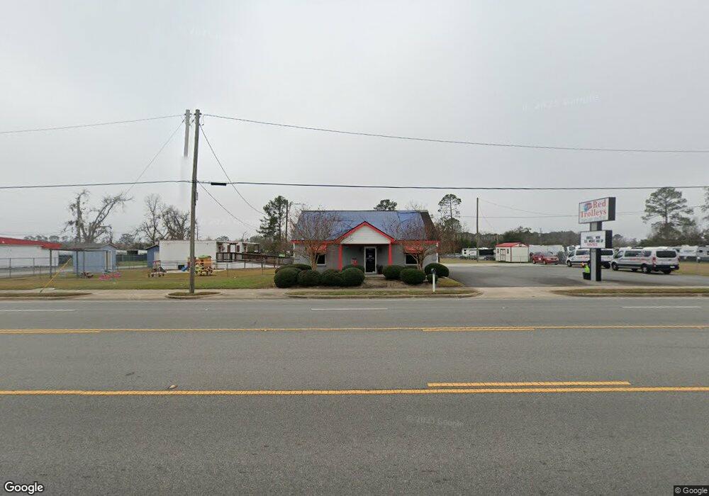
1212 S Patterson St Valdosta, GA 31601
Estimated Value: $357,075
--
Bed
--
Bath
1,224
Sq Ft
$292/Sq Ft
Est. Value
About This Home
This home is located at 1212 S Patterson St, Valdosta, GA 31601 and is currently estimated at $357,075, approximately $291 per square foot. 1212 S Patterson St is a home located in Lowndes County with nearby schools including Newbern Middle School, Valdosta High School, and Highland Christian Academy.
Ownership History
Date
Name
Owned For
Owner Type
Purchase Details
Closed on
Feb 5, 2020
Sold by
Blanton Tim
Bought by
Ba Fatimata B and Ndure Mustapha
Current Estimated Value
Purchase Details
Closed on
May 13, 2005
Sold by
Sayre Virginia Lane
Bought by
Blanton Tim
Purchase Details
Closed on
Apr 6, 2004
Sold by
Ferguson Robert H
Bought by
Sayre Virginia Lane P
Purchase Details
Closed on
Feb 15, 1991
Bought by
Ferguson Robert H
Purchase Details
Closed on
Jan 25, 1991
Bought by
Mcgee George and Mcgee Odell
Purchase Details
Closed on
Sep 17, 1979
Bought by
Mcgee George and Mcgee Odell
Create a Home Valuation Report for This Property
The Home Valuation Report is an in-depth analysis detailing your home's value as well as a comparison with similar homes in the area
Home Values in the Area
Average Home Value in this Area
Purchase History
| Date | Buyer | Sale Price | Title Company |
|---|---|---|---|
| Ba Fatimata B | $275,000 | -- | |
| Blanton Tim | $167,500 | -- | |
| Sayre Virginia Lane P | -- | -- | |
| Ferguson Robert H | $35,000 | -- | |
| Mcgee George | -- | -- | |
| Mcgee George | $8,000 | -- |
Source: Public Records
Tax History Compared to Growth
Tax History
| Year | Tax Paid | Tax Assessment Tax Assessment Total Assessment is a certain percentage of the fair market value that is determined by local assessors to be the total taxable value of land and additions on the property. | Land | Improvement |
|---|---|---|---|---|
| 2024 | $1,115 | $46,980 | $46,980 | $0 |
| 2023 | $1,115 | $15,134 | $15,134 | $0 |
| 2022 | $511 | $15,134 | $15,134 | $0 |
| 2021 | $526 | $15,134 | $15,134 | $0 |
| 2020 | $2,853 | $80,342 | $34,440 | $45,902 |
| 2019 | $2,855 | $80,424 | $34,440 | $45,984 |
| 2018 | $2,895 | $80,507 | $34,440 | $46,067 |
| 2017 | $3,449 | $95,270 | $49,120 | $46,150 |
| 2016 | $3,449 | $95,394 | $49,120 | $46,274 |
| 2015 | -- | $126,217 | $79,820 | $46,397 |
| 2014 | $3,350 | $99,276 | $65,359 | $33,918 |
Source: Public Records
Map
Nearby Homes
- 420 Griffin Ave
- 201 Cummings Place
- 703 New Hudson St
- 200 Deloach St
- 0 Hampton Ln
- 914 Bethune St
- 10 Lavista Cir
- 1411 Willie Houseal Dr
- 1610 Natcon St
- 1301 Bethune St
- 1302 Bethune St
- 1306 Bethune St
- 1314 Partridge Place
- 7 W Hill Ave
- 105 N Ashley St
- 136 N Patterson St
- 404 Floyd St
- 412 Barack Obama Blvd
- 503 N Troup St
- 311 Webster St
- 1300 S Patterson St
- 1204 S Patterson St
- 1307 S Patterson St
- 108 Smith Ave
- 201 Smith Ave
- 1208 Highway Place
- 1200 Highway Place
- 108 Fountain Ave
- 1306 S Patterson St
- 203 Smith Ave
- 205 Fountain Ave
- 1308 S Patterson St
- 211 Fountain Ave
- 1313 S Troup St
- 1108 S Patterson St
- 1320 S Patterson St
- 213 Smith Ave
- 401 Griffin Ave Unit 1
- 1140 S Troup St
- 1322 S Patterson St Unit 1