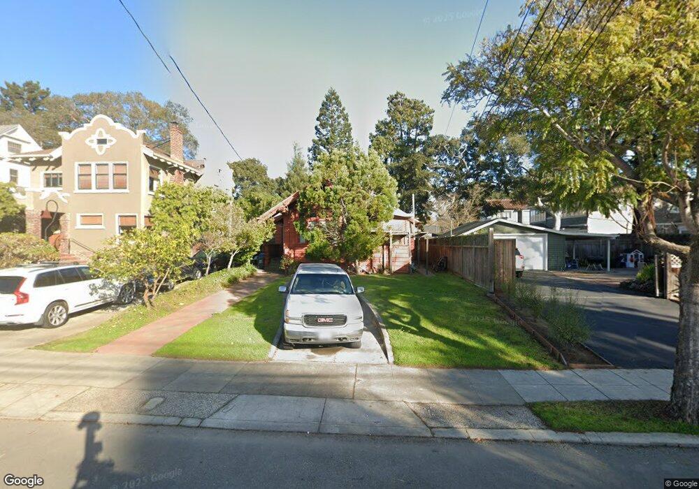
1212 Sherman St Alameda, CA 94501
South Shore NeighborhoodEstimated Value: $1,274,000 - $1,750,000
2
Beds
1
Bath
1,615
Sq Ft
$872/Sq Ft
Est. Value
About This Home
This home is located at 1212 Sherman St, Alameda, CA 94501 and is currently estimated at $1,407,862, approximately $871 per square foot. 1212 Sherman St is a home located in Alameda County with nearby schools including Franklin Elementary, Will C. Wood Middle School, and Encinal Junior/Senior High.
Ownership History
Date
Name
Owned For
Owner Type
Purchase Details
Closed on
Nov 5, 1993
Sold by
Parker Olive Theresa and The Estate Of Marryat F Parker
Bought by
Bergamaschi Paulo A
Current Estimated Value
Home Financials for this Owner
Home Financials are based on the most recent Mortgage that was taken out on this home.
Original Mortgage
$190,400
Interest Rate
6.88%
Create a Home Valuation Report for This Property
The Home Valuation Report is an in-depth analysis detailing your home's value as well as a comparison with similar homes in the area
Home Values in the Area
Average Home Value in this Area
Purchase History
| Date | Buyer | Sale Price | Title Company |
|---|---|---|---|
| Bergamaschi Paulo A | $238,000 | American Title Insurance Co |
Source: Public Records
Mortgage History
| Date | Status | Borrower | Loan Amount |
|---|---|---|---|
| Closed | Bergamaschi Paulo A | $190,400 |
Source: Public Records
Tax History Compared to Growth
Tax History
| Year | Tax Paid | Tax Assessment Tax Assessment Total Assessment is a certain percentage of the fair market value that is determined by local assessors to be the total taxable value of land and additions on the property. | Land | Improvement |
|---|---|---|---|---|
| 2025 | $6,864 | $397,504 | $127,470 | $277,034 |
| 2024 | $6,864 | $389,574 | $124,971 | $271,603 |
| 2023 | $6,629 | $388,798 | $122,520 | $266,278 |
| 2022 | $6,490 | $374,175 | $120,118 | $261,057 |
| 2021 | $6,346 | $366,702 | $117,763 | $255,939 |
| 2020 | $6,273 | $369,871 | $116,556 | $253,315 |
| 2019 | $5,740 | $362,618 | $114,270 | $248,348 |
| 2018 | $5,605 | $355,509 | $112,030 | $243,479 |
| 2017 | $5,373 | $348,540 | $109,834 | $238,706 |
| 2016 | $5,366 | $341,708 | $107,681 | $234,027 |
| 2015 | $5,344 | $336,576 | $106,064 | $230,512 |
| 2014 | $5,127 | $329,983 | $103,986 | $225,997 |
Source: Public Records
Map
Nearby Homes
- 1203 Benton St
- 610 Grand St
- 1812 San Antonio Ave
- 1428 Paru St
- 608 Fortress Isle
- 1701 Central Ave Unit P
- 1059 Santa Clara Ave
- 901 San Antonio Ave
- 1220 9th St
- 1572 Lincoln Ave
- 1606 Morton St
- 1301 9th St
- 955 Shorepoint Ct Unit 110
- 955 Shorepoint Ct Unit 200
- 1512 Mozart St
- 1523 Verdi St
- 404 Coral Reef Rd
- 1523 Lincoln Ave
- 1613 Stanton St
- 1220 Chestnut St
- 1218 Sherman St
- 1200 Sherman St
- 1311 Clinton Ave
- 1226 Sherman St
- 1230 Sherman St
- 1001 Morton St
- 1315 Clinton Ave
- 1003 Morton St
- 1211 Sherman St
- 1209 Sherman St
- 999 Morton St
- 1232 Sherman St
- 1005 Morton St
- 1215 Sherman St
- 1207 Sherman St
- 1217 Sherman St
- 1201 Sherman St
- 1190 Sherman St
- 1007 Morton St
- 1236 Sherman St