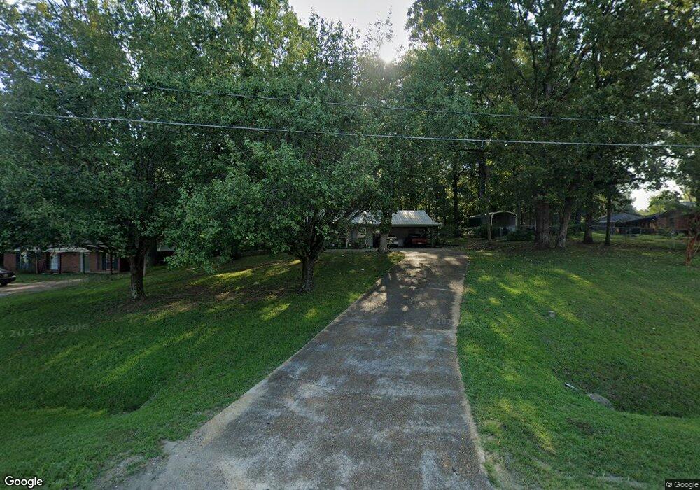
1212 Stark Rd Starkville, MS 39759
Estimated Value: $212,000 - $245,000
--
Bed
--
Bath
1,525
Sq Ft
$150/Sq Ft
Est. Value
About This Home
This home is located at 1212 Stark Rd, Starkville, MS 39759 and is currently estimated at $229,218, approximately $150 per square foot. 1212 Stark Rd is a home with nearby schools including Sudduth Elementary School, Henderson/Ward-Stewart Elementary School, and Overstreet Elementary School.
Ownership History
Date
Name
Owned For
Owner Type
Purchase Details
Closed on
May 8, 2024
Sold by
Cagle Lucas and Cagle Sarah
Bought by
Starkville Ltr Llc
Current Estimated Value
Home Financials for this Owner
Home Financials are based on the most recent Mortgage that was taken out on this home.
Original Mortgage
$128,000
Outstanding Balance
$111,396
Interest Rate
0.63%
Mortgage Type
Construction
Estimated Equity
$117,822
Create a Home Valuation Report for This Property
The Home Valuation Report is an in-depth analysis detailing your home's value as well as a comparison with similar homes in the area
Home Values in the Area
Average Home Value in this Area
Purchase History
| Date | Buyer | Sale Price | Title Company |
|---|---|---|---|
| Starkville Ltr Llc | $160,000 | Covenant Title |
Source: Public Records
Mortgage History
| Date | Status | Borrower | Loan Amount |
|---|---|---|---|
| Open | Starkville Ltr Llc | $128,000 |
Source: Public Records
Tax History Compared to Growth
Tax History
| Year | Tax Paid | Tax Assessment Tax Assessment Total Assessment is a certain percentage of the fair market value that is determined by local assessors to be the total taxable value of land and additions on the property. | Land | Improvement |
|---|---|---|---|---|
| 2024 | $2,781 | $18,162 | $0 | $0 |
| 2023 | $2,781 | $18,162 | $0 | $0 |
| 2022 | $2,747 | $18,162 | $0 | $0 |
| 2021 | $2,639 | $17,435 | $0 | $0 |
| 2020 | $2,621 | $17,435 | $0 | $0 |
| 2019 | $2,586 | $17,435 | $0 | $0 |
| 2018 | $2,568 | $17,435 | $0 | $0 |
| 2017 | $2,222 | $15,336 | $0 | $0 |
| 2016 | $2,222 | $15,336 | $0 | $0 |
| 2015 | $2,125 | $15,336 | $0 | $0 |
| 2014 | $2,133 | $15,336 | $0 | $0 |
| 2013 | -- | $14,946 | $0 | $0 |
Source: Public Records
Map
Nearby Homes
- 0 Stark Rd
- 102 John Wesley Rd
- 105 Rutledge St
- 2701 Maple Dr
- 701 Cypress Rd
- 711 Cypress Rd
- 120 Guest Dr
- 119 Guest Drive Unit 1103
- 2307 Maple Dr
- 202 Tomlinson Dr
- 202 Tomlinson Dr Unit 5c
- 613 Mallory Ln
- 0 Mississippi 25
- 105 Tomlinson Dr
- 0 Mississippi 12
- 101 Nathan Hale Dr
- 0 Avenue of Patriots St
- 112 Forest Hill Dr
- 1178 Goldfinch Ln
- 1210 Stark Rd
- 2710 Redbud Dr
- 2708 Redbud Dr
- 2425 Douglas McArthur Dr
- 2423 Douglas McArthur Dr
- 2706 Redbud Dr
- 1091 Stark Rd
- 2421 Douglas McArthur Dr
- 2713 Redbud Dr
- 2808 Plum Rd
- 2704 Redbud Dr
- 2713 Persimmon Dr
- 2610 Pin Oak Dr
- 2419 Douglas McArthur Dr
- 2608 Pin Oak Dr
- 2418 Douglas McArthur Dr
- 2711 Persimmon Dr
- 2606 Redbud Dr
- 2806 Plum Rd
- 2605 Pin Oak Dr