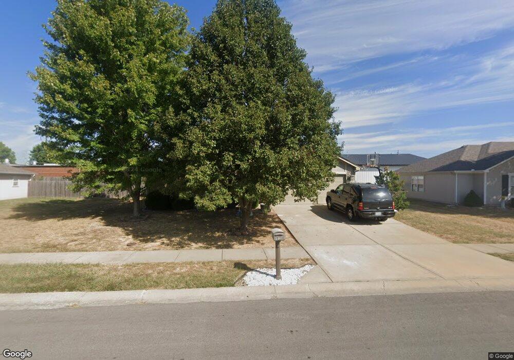
1212 SW Blue Branch Dr Grain Valley, MO 64029
Estimated Value: $275,000 - $301,000
2
Beds
2
Baths
1,416
Sq Ft
$203/Sq Ft
Est. Value
About This Home
This home is located at 1212 SW Blue Branch Dr, Grain Valley, MO 64029 and is currently estimated at $287,379, approximately $202 per square foot. 1212 SW Blue Branch Dr is a home located in Jackson County with nearby schools including Grain Valley High School.
Ownership History
Date
Name
Owned For
Owner Type
Purchase Details
Closed on
Dec 30, 2019
Sold by
Reed Donald R
Bought by
Reed Doanld R
Current Estimated Value
Home Financials for this Owner
Home Financials are based on the most recent Mortgage that was taken out on this home.
Original Mortgage
$157,500
Outstanding Balance
$138,859
Interest Rate
3.6%
Mortgage Type
VA
Estimated Equity
$148,520
Purchase Details
Closed on
Jul 30, 2010
Sold by
Osbourne Robert D and Osbourne Janie A
Bought by
Reed Donald R and Reed Paula Ann
Home Financials for this Owner
Home Financials are based on the most recent Mortgage that was taken out on this home.
Original Mortgage
$118,750
Interest Rate
4.69%
Mortgage Type
VA
Purchase Details
Closed on
Dec 17, 2007
Sold by
Y-5 Development Llc
Bought by
Osbourne Robert D and Osbourne Janie A
Home Financials for this Owner
Home Financials are based on the most recent Mortgage that was taken out on this home.
Original Mortgage
$106,600
Interest Rate
6.27%
Mortgage Type
Purchase Money Mortgage
Create a Home Valuation Report for This Property
The Home Valuation Report is an in-depth analysis detailing your home's value as well as a comparison with similar homes in the area
Home Values in the Area
Average Home Value in this Area
Purchase History
| Date | Buyer | Sale Price | Title Company |
|---|---|---|---|
| Reed Doanld R | -- | None Available | |
| Reed Donald R | -- | Alpha Title Llc | |
| Osbourne Robert D | -- | First American Title |
Source: Public Records
Mortgage History
| Date | Status | Borrower | Loan Amount |
|---|---|---|---|
| Open | Reed Doanld R | $157,500 | |
| Closed | Reed Donald R | $118,750 | |
| Previous Owner | Osbourne Robert D | $106,600 |
Source: Public Records
Tax History Compared to Growth
Tax History
| Year | Tax Paid | Tax Assessment Tax Assessment Total Assessment is a certain percentage of the fair market value that is determined by local assessors to be the total taxable value of land and additions on the property. | Land | Improvement |
|---|---|---|---|---|
| 2025 | $3,186 | $36,936 | $5,732 | $31,204 |
| 2024 | $3,067 | $38,686 | $4,043 | $34,643 |
| 2023 | $3,067 | $38,686 | $3,207 | $35,479 |
| 2022 | $2,532 | $27,930 | $5,235 | $22,695 |
| 2021 | $2,473 | $27,930 | $5,235 | $22,695 |
| 2020 | $2,502 | $27,879 | $5,235 | $22,644 |
| 2019 | $2,451 | $27,879 | $5,235 | $22,644 |
| 2018 | $1,765,744 | $23,994 | $3,516 | $20,478 |
| 2017 | $2,258 | $23,994 | $3,516 | $20,478 |
| 2016 | $2,067 | $21,977 | $3,498 | $18,479 |
| 2014 | $2,042 | $21,546 | $3,429 | $18,117 |
Source: Public Records
Map
Nearby Homes
- 1418 SW Blue Branch Dr
- 1024 Christie Ln
- 401 S Minter Rd
- 509 SW Joseph Ct
- 200 Cross Creek Ln
- 209 SW Cross Creek Dr
- 1235 NW Ashley Ln
- 1402 NW Broadway Throughway
- 1215 SW Lone Star Ct
- 207 Pebblebrook St
- 636 SW Lakeview Dr
- 1229 NW Ashley Dr
- 719 S Minter Rd
- 1214 SW Windcrest Ct
- 1219 SW Windcrest Ct
- 725 SW Tisha Ln
- 1309 SW Graystone Cir
- 1007 NW Long Dr
- 714 SW Brome Dr
- 605 NW Silverstone Cir
- 1210 SW Blue Branch Dr
- 1214 SW Blue Branch Dr
- 1209 SW Blue Branch Dr
- 1208 SW Blue Branch Dr
- 1205 SW Blue Branch Dr
- 1213 SW Blue Branch Dr
- 1216 SW Blue Branch Dr
- 104 SW Blue Branch Cir
- 200 SW Blue Branch Cir
- 102 SW Blue Branch Cir
- 210 SW Blue Branch Cir
- 212 SW Blue Branch Cir
- 1300 SW Blue Branch Dr
- 208 SW Blue Branch Cir
- 100 SW Blue Branch Cir
- 1302 SW Blue Branch Dr
- 1303 SW Blue Branch Dr
- 1304 SW Stoneybrooke Dr
- 1302 SW Stoneybrooke Dr
- 1304 SW Blue Branch Dr