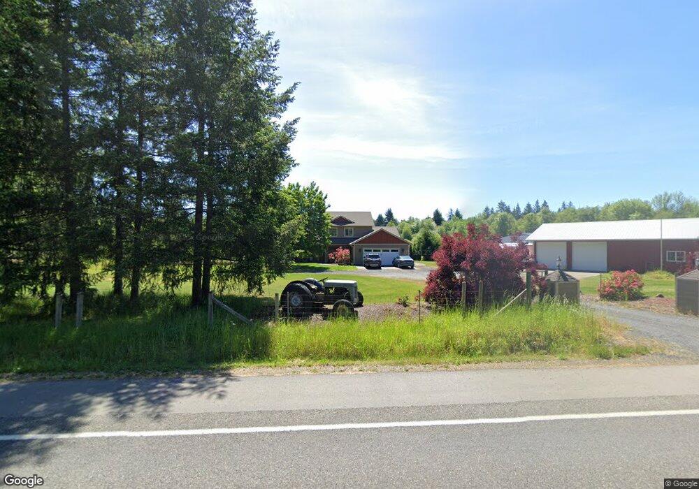
12120 Littlerock Rd SW Olympia, WA 98512
Estimated Value: $746,000 - $823,179
3
Beds
3
Baths
2,302
Sq Ft
$345/Sq Ft
Est. Value
About This Home
This home is located at 12120 Littlerock Rd SW, Olympia, WA 98512 and is currently estimated at $793,393, approximately $344 per square foot. 12120 Littlerock Rd SW is a home with nearby schools including Littlerock Elementary School, George Washington Bush Middle School, and Tumwater High School.
Ownership History
Date
Name
Owned For
Owner Type
Purchase Details
Closed on
Aug 3, 2007
Sold by
Scott Norma Jean
Bought by
Burkhart Mark E and Burkhart Robin L
Current Estimated Value
Home Financials for this Owner
Home Financials are based on the most recent Mortgage that was taken out on this home.
Original Mortgage
$140,000
Outstanding Balance
$88,596
Interest Rate
6.65%
Mortgage Type
Unknown
Estimated Equity
$704,797
Purchase Details
Closed on
Sep 3, 1998
Sold by
Brown John Steven and Brown Wanda Lucille
Bought by
Scott Dale Eugene and Scott Norma Jean
Purchase Details
Closed on
Jun 13, 1989
Sold by
Blackburn Norman L and Blackburn Gail
Bought by
Scott Dale Eugene and Scott Norma Jean
Create a Home Valuation Report for This Property
The Home Valuation Report is an in-depth analysis detailing your home's value as well as a comparison with similar homes in the area
Home Values in the Area
Average Home Value in this Area
Purchase History
| Date | Buyer | Sale Price | Title Company |
|---|---|---|---|
| Burkhart Mark E | $140,000 | Chicago Title Company | |
| Scott Dale Eugene | -- | -- | |
| Scott Dale Eugene | $44,000 | Transnation Title |
Source: Public Records
Mortgage History
| Date | Status | Borrower | Loan Amount |
|---|---|---|---|
| Open | Burkhart Mark E | $140,000 |
Source: Public Records
Tax History Compared to Growth
Tax History
| Year | Tax Paid | Tax Assessment Tax Assessment Total Assessment is a certain percentage of the fair market value that is determined by local assessors to be the total taxable value of land and additions on the property. | Land | Improvement |
|---|---|---|---|---|
| 2024 | $8,026 | $775,600 | $213,900 | $561,700 |
| 2023 | $8,026 | $772,700 | $245,100 | $527,600 |
| 2022 | $7,389 | $736,800 | $168,500 | $568,300 |
| 2021 | $6,791 | $595,000 | $135,800 | $459,200 |
| 2020 | $6,830 | $492,400 | $129,900 | $362,500 |
| 2019 | $6,046 | $478,100 | $121,500 | $356,600 |
| 2018 | $5,659 | $407,900 | $87,500 | $320,400 |
| 2017 | $5,238 | $364,200 | $91,200 | $273,000 |
| 2016 | $4,567 | $329,200 | $73,900 | $255,300 |
| 2014 | -- | $355,600 | $73,900 | $281,700 |
Source: Public Records
Map
Nearby Homes
- 12344 Brooks St SW
- 5145 124th Way SW
- 6446 130th Ln SW
- 7101 115th Ave SW
- 10918 Creekwood Dr SW
- 7340 127th Ave SW
- 6123 139th Ln SW
- 13920 Littlerock Rd SW
- 11920 Crockett St SW
- 14010 Quiet Waters Ln SW
- 12225 Case Rd SW
- 0 Case Rd SW Unit NWM2408745
- 3922 113th Ave SW
- 4028 107th Ave SW
- 7737 Bordeaux Vista Ln SW
- 14443 Mima Rd SW
- 5815 95th Ave SW
- 3624 104th Ave SW
- 5033 Polehn Rd SW
- 3303 107th Ave SW
- 12202 Littlerock Rd SW
- 12121 Littlerock Rd SW
- 12048 Littlerock Rd SW
- 12110 Littlerock Rd SW
- 12204 Littlerock Rd SW
- 12045 Littlerock Rd SW
- 12206 Littlerock Rd SW
- 12024 Littlerock Rd SW
- 0 XXX Littlerock Rd SW
- 9928 Littlerock Rd SW
- 0 X Littlerock Rd SW
- 12118 La France Rd SW
- 6122 123rd Ave SW
- 12116 La France Rd SW
- 6148 123rd Ave SW
- 12305 Littlerock Rd SW
- 12103 La France Rd SW
- 12420 Littlerock Rd SW
- 6211 123rd Ave SW
- 12315 Littlerock Rd SW