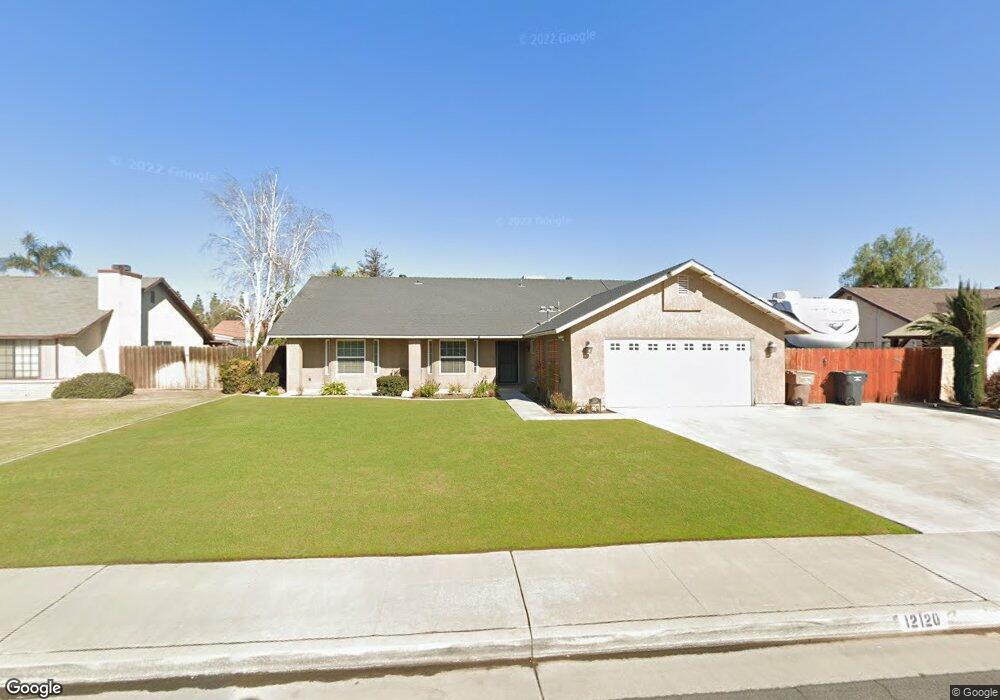
12120 Magruder Ave Unit 1 Bakersfield, CA 93312
Estimated Value: $433,000 - $517,000
4
Beds
2
Baths
1,398
Sq Ft
$332/Sq Ft
Est. Value
About This Home
This home is located at 12120 Magruder Ave Unit 1, Bakersfield, CA 93312 and is currently estimated at $463,955, approximately $331 per square foot. 12120 Magruder Ave Unit 1 is a home located in Kern County with nearby schools including Rosedale-North Elementary School, Freedom Middle School, and Frontier High School.
Ownership History
Date
Name
Owned For
Owner Type
Purchase Details
Closed on
Nov 21, 1995
Sold by
Hud
Bought by
Copeland Steven and Copeland Sandra
Current Estimated Value
Home Financials for this Owner
Home Financials are based on the most recent Mortgage that was taken out on this home.
Original Mortgage
$93,814
Outstanding Balance
$1,176
Interest Rate
6.5%
Mortgage Type
FHA
Estimated Equity
$462,779
Purchase Details
Closed on
Aug 16, 1995
Sold by
Citicorp Mtg Inc
Bought by
Hud
Create a Home Valuation Report for This Property
The Home Valuation Report is an in-depth analysis detailing your home's value as well as a comparison with similar homes in the area
Home Values in the Area
Average Home Value in this Area
Purchase History
| Date | Buyer | Sale Price | Title Company |
|---|---|---|---|
| Copeland Steven | $95,000 | Nations Title | |
| Hud | $108,338 | Fidelity National Title Ins | |
| Citicorp Mtg Inc | $108,338 | -- |
Source: Public Records
Mortgage History
| Date | Status | Borrower | Loan Amount |
|---|---|---|---|
| Open | Copeland Steven | $93,814 |
Source: Public Records
Tax History Compared to Growth
Tax History
| Year | Tax Paid | Tax Assessment Tax Assessment Total Assessment is a certain percentage of the fair market value that is determined by local assessors to be the total taxable value of land and additions on the property. | Land | Improvement |
|---|---|---|---|---|
| 2025 | $3,880 | $271,000 | $44,838 | $226,162 |
| 2024 | $3,798 | $265,688 | $43,959 | $221,729 |
| 2023 | $3,798 | $260,480 | $43,098 | $217,382 |
| 2022 | $3,707 | $255,373 | $42,253 | $213,120 |
| 2021 | $3,593 | $250,367 | $41,425 | $208,942 |
| 2020 | $3,527 | $247,802 | $41,001 | $206,801 |
| 2019 | $3,478 | $247,802 | $41,001 | $206,801 |
| 2018 | $3,375 | $238,183 | $39,410 | $198,773 |
| 2017 | $3,338 | $233,514 | $38,638 | $194,876 |
| 2016 | $3,043 | $228,937 | $37,881 | $191,056 |
| 2015 | $3,009 | $225,500 | $37,312 | $188,188 |
| 2014 | $2,946 | $221,084 | $36,582 | $184,502 |
Source: Public Records
Map
Nearby Homes
- 12211 Flat Iron Ct
- 4321 Polo Pony Ln
- 11805 Hannah Denise Ave
- 11711 Stratosphere Ave
- 12418 Grand Teton Dr
- 3622 Azure Dr
- 11910 Compass Ave
- 11908 Nebula Ct
- 11514 Wrangler Dr
- 11511 Bay Meadows Ln
- 11519 Show Ring Ln
- 4900 Rushmore Dr
- 4136 Jewetta Ave
- 11265 Poulsen Way
- 11126 New Forest Dr
- 4812 Churchill Downs Ct
- 12421 Winn Ave
- 11613 Presidential Rd
- 3122 Campfire Dr Unit 2
- 11115 Lakewood Ct
- 12114 Magruder Ave Unit 1
- 12202 Magruder Ave
- 12119 Nacelle Ave
- 12113 Nacelle Ave
- 12201 Nacelle Ave Unit 1
- 12208 Magruder Ave
- 12108 Magruder Ave Unit 1
- 12119 Magruder Ave
- 12201 Magruder Ave
- 12113 Magruder Ave
- 12207 Nacelle Ave Unit 1
- 12107 Nacelle Ave
- 12214 Magruder Ave
- 12207 Magruder Ave
- 12107 Magruder Ave Unit 1
- 12102 Magruder Ave
- 12213 Nacelle Ave
- 12101 Nacelle Ave
- 12213 Magruder Ave
- 12101 Magruder Ave