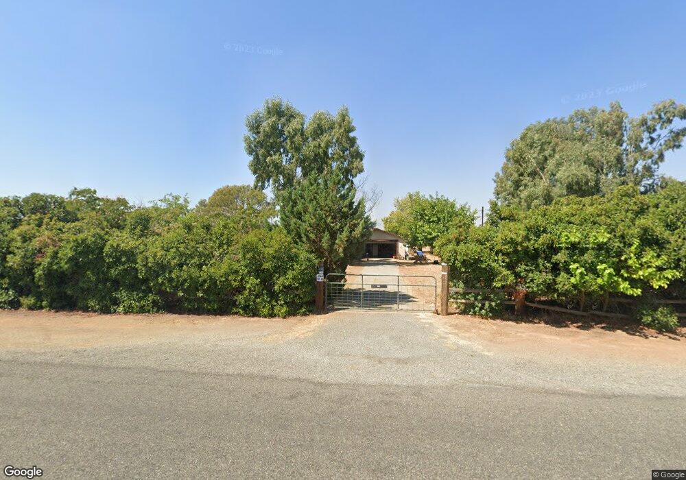
12125 Wilder Rd Red Bluff, CA 96080
Estimated Value: $357,000 - $359,830
3
Beds
2
Baths
1,296
Sq Ft
$277/Sq Ft
Est. Value
About This Home
This home is located at 12125 Wilder Rd, Red Bluff, CA 96080 and is currently estimated at $358,610, approximately $276 per square foot. 12125 Wilder Rd is a home located in Tehama County with nearby schools including William M. Metteer Elementary School, Vista Preparatory Academy, and Red Bluff High School.
Ownership History
Date
Name
Owned For
Owner Type
Purchase Details
Closed on
Jan 28, 2022
Sold by
Loera Esther N
Bought by
Loera 1998 Revocable Living Trust
Current Estimated Value
Purchase Details
Closed on
Mar 5, 2004
Sold by
Loera Esther N
Bought by
Loera Esther N
Home Financials for this Owner
Home Financials are based on the most recent Mortgage that was taken out on this home.
Original Mortgage
$69,000
Interest Rate
5.69%
Mortgage Type
Stand Alone Refi Refinance Of Original Loan
Create a Home Valuation Report for This Property
The Home Valuation Report is an in-depth analysis detailing your home's value as well as a comparison with similar homes in the area
Purchase History
| Date | Buyer | Sale Price | Title Company |
|---|---|---|---|
| Loera 1998 Revocable Living Trust | -- | None Listed On Document | |
| Loera Esther N | -- | Fidelity National Title |
Source: Public Records
Mortgage History
| Date | Status | Borrower | Loan Amount |
|---|---|---|---|
| Previous Owner | Loera Esther N | $69,000 |
Source: Public Records
Tax History
| Year | Tax Paid | Tax Assessment Tax Assessment Total Assessment is a certain percentage of the fair market value that is determined by local assessors to be the total taxable value of land and additions on the property. | Land | Improvement |
|---|---|---|---|---|
| 2025 | $1,763 | $180,334 | $72,128 | $108,206 |
| 2023 | $1,732 | $173,333 | $69,328 | $104,005 |
| 2022 | $1,726 | $169,935 | $67,969 | $101,966 |
| 2021 | $1,649 | $166,604 | $66,637 | $99,967 |
| 2020 | $1,683 | $164,896 | $65,954 | $98,942 |
| 2019 | $1,692 | $161,663 | $64,661 | $97,002 |
| 2018 | $1,563 | $158,494 | $63,394 | $95,100 |
| 2017 | $1,576 | $155,387 | $62,151 | $93,236 |
| 2016 | $1,470 | $152,341 | $60,933 | $91,408 |
| 2015 | $1,446 | $150,053 | $60,018 | $90,035 |
| 2014 | $1,424 | $147,115 | $58,843 | $88,272 |
Source: Public Records
Map
Nearby Homes
- 0 Stewart Rd Unit 20250381
- 0 Stewart Rd Unit 20250380
- 20050 Plains Dr
- 20285 Stewart Rd
- 20225 Stewart Rd
- 329 Michael Dr
- 340 Christina Dr
- 12915 Gardenia Ave
- 2030 Pebblestone Dr
- 1235 Britt Ln
- 1560 Carl Ct
- 1455 Acacia St
- 12072 Alta Vista Ct
- 550 Bayles Ave
- 675 Larie Ln
- 12079 Alta Vista Ct
- 10.04 Vista Way
- 56.19 Vista Way
- 685 Larie Ln
- 19542 Ridge Rd
- 12150 Wilder Rd
- 12100 Wilder Rd
- 20405 Live Oak Rd
- 000 Sundance Dr
- 20479 Live Oak Rd Unit 12205 Wilder Rd.
- 20509 Live Oak Rd
- 0 King
- 20410 Live Oak Rd
- 12277 Wilder Rd
- 12280 Wilder Rd
- 12075 Thunderbird Dr
- 0 Wilder Rd Unit TC200800670
- 0 Wilder Rd Unit TC200901576
- 0 Wilder Rd Unit TC201000230
- 0 Wilder Rd Unit TC201000229
- 0 Wilder Rd Unit TC201040111
- 0 Wilder Rd Unit TC201040534
- 0 Wilder Rd Unit TC12000116
- 0 Wilder Rd Unit 200800670
- 0 Wilder Rd Unit 200901576
Your Personal Tour Guide
Ask me questions while you tour the home.