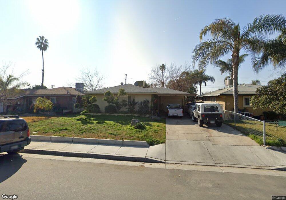
1213 Antonia Way Bakersfield, CA 93304
Wible Orchard NeighborhoodEstimated Value: $225,548 - $271,000
2
Beds
1
Bath
945
Sq Ft
$261/Sq Ft
Est. Value
About This Home
This home is located at 1213 Antonia Way, Bakersfield, CA 93304 and is currently estimated at $246,887, approximately $261 per square foot. 1213 Antonia Way is a home located in Kern County with nearby schools including Frank West Elementary School, Curran Middle School, and South High School.
Ownership History
Date
Name
Owned For
Owner Type
Purchase Details
Closed on
Jul 16, 2002
Sold by
Monji Robin L and Caughell Sharron E
Bought by
Monji Robin Lewis
Current Estimated Value
Purchase Details
Closed on
Jun 1, 1994
Sold by
Caughell Sharron E
Bought by
Monji Robin L
Purchase Details
Closed on
Feb 27, 1994
Sold by
Hassman Burniece
Bought by
Caughell Sharron E
Create a Home Valuation Report for This Property
The Home Valuation Report is an in-depth analysis detailing your home's value as well as a comparison with similar homes in the area
Home Values in the Area
Average Home Value in this Area
Purchase History
| Date | Buyer | Sale Price | Title Company |
|---|---|---|---|
| Monji Robin Lewis | -- | -- | |
| Monji Robin L | -- | -- | |
| Caughell Sharron E | -- | First American Title Ins Co |
Source: Public Records
Tax History Compared to Growth
Tax History
| Year | Tax Paid | Tax Assessment Tax Assessment Total Assessment is a certain percentage of the fair market value that is determined by local assessors to be the total taxable value of land and additions on the property. | Land | Improvement |
|---|---|---|---|---|
| 2025 | $1,304 | $58,841 | $14,570 | $44,271 |
| 2024 | $1,268 | $57,689 | $14,285 | $43,404 |
| 2023 | $1,268 | $56,559 | $14,005 | $42,554 |
| 2022 | $1,222 | $55,452 | $13,731 | $41,721 |
| 2021 | $1,124 | $54,366 | $13,462 | $40,904 |
| 2020 | $1,089 | $53,809 | $13,324 | $40,485 |
| 2019 | $1,067 | $53,809 | $13,324 | $40,485 |
| 2018 | $1,044 | $51,723 | $12,807 | $38,916 |
| 2017 | $1,034 | $50,710 | $12,556 | $38,154 |
| 2016 | $974 | $49,717 | $12,310 | $37,407 |
| 2015 | $961 | $48,973 | $12,126 | $36,847 |
| 2014 | $930 | $48,015 | $11,889 | $36,126 |
Source: Public Records
Map
Nearby Homes
- 2717 S K St
- 2709 Laurel Dr
- 2323 S J St
- 2709 Lee Dr
- 1605 Sidney Dr
- 2901 S Chester Ave
- 2120 S M St
- 2905 S Chester Ave
- 1016 Meredith Dr
- 1108 Southgate Dr
- 708 Geneva Ave
- 919 Southgate Dr
- 1410 Southgate Dr
- 1512 Southgate Dr
- 1017 Curtis Dr
- 3201 Parkland Ct
- 3212 S P St
- 3000 S Chester Ave Unit SPC 46
- 3000 S Chester Ave Unit 53
- 3000 S Chester Ave Unit 104
- 1209 Antonia Way
- 1217 Antonia Way
- 1212 Dorian Dr
- 1205 Antonia Way
- 1221 Antonia Way
- 1208 Dorian Dr
- 1216 Dorian Dr
- 1204 Dorian Dr
- 1220 Dorian Dr
- 1212 Antonia Way
- 1201 Antonia Way
- 1301 Antonia Way
- 1208 Antonia Way
- 1216 Antonia Way
- 1200 Dorian Dr
- 1300 Dorian Dr
- 1204 Antonia Way
- 1220 Antonia Way
- 1305 Antonia Way
- 1200 Antonia Way