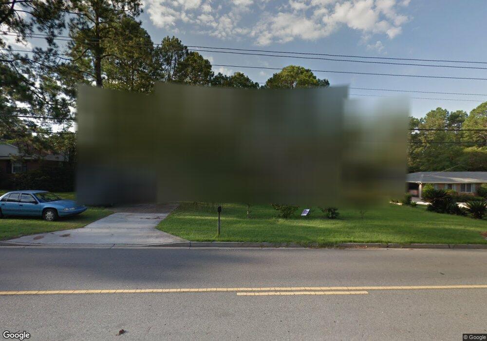
1213 Gornto Rd Valdosta, GA 31602
Estimated Value: $182,675 - $236,000
--
Bed
2
Baths
1,528
Sq Ft
$141/Sq Ft
Est. Value
About This Home
This home is located at 1213 Gornto Rd, Valdosta, GA 31602 and is currently estimated at $214,919, approximately $140 per square foot. 1213 Gornto Rd is a home located in Lowndes County with nearby schools including S.L. Mason Elementary School, Valdosta Middle School, and Valdosta High School.
Ownership History
Date
Name
Owned For
Owner Type
Purchase Details
Closed on
Nov 20, 2000
Sold by
Lasseter Richard W
Bought by
Delaney Donna R
Current Estimated Value
Purchase Details
Closed on
Jun 10, 1992
Bought by
Lasseter Richard W
Purchase Details
Closed on
Nov 24, 1980
Bought by
Lasseter Richard W Etal
Purchase Details
Closed on
Nov 1, 1977
Bought by
Tindall Robert J Etal
Purchase Details
Closed on
Oct 18, 1972
Bought by
Colwell Jimmy M
Purchase Details
Closed on
Jul 30, 1971
Bought by
Anthony Mack
Purchase Details
Closed on
Jan 16, 1969
Bought by
Crane Frank F
Purchase Details
Closed on
Dec 31, 1968
Bought by
Martin Jack S
Create a Home Valuation Report for This Property
The Home Valuation Report is an in-depth analysis detailing your home's value as well as a comparison with similar homes in the area
Home Values in the Area
Average Home Value in this Area
Purchase History
| Date | Buyer | Sale Price | Title Company |
|---|---|---|---|
| Delaney Donna R | $70,000 | -- | |
| Lasseter Richard W | -- | -- | |
| Lasseter Richard W Etal | -- | -- | |
| Tindall Robert J Etal | $38,900 | -- | |
| Colwell Jimmy M | $28,900 | -- | |
| Anthony Mack | $20,000 | -- | |
| Crane Frank F | -- | -- | |
| Martin Jack S | -- | -- |
Source: Public Records
Tax History Compared to Growth
Tax History
| Year | Tax Paid | Tax Assessment Tax Assessment Total Assessment is a certain percentage of the fair market value that is determined by local assessors to be the total taxable value of land and additions on the property. | Land | Improvement |
|---|---|---|---|---|
| 2024 | $1,352 | $58,420 | $13,560 | $44,860 |
| 2023 | $1,352 | $58,420 | $13,560 | $44,860 |
| 2022 | $1,064 | $41,487 | $13,560 | $27,927 |
| 2021 | $1,095 | $41,487 | $13,560 | $27,927 |
| 2020 | $1,118 | $41,487 | $13,560 | $27,927 |
| 2019 | $1,260 | $41,487 | $13,560 | $27,927 |
| 2018 | $1,276 | $41,487 | $13,560 | $27,927 |
| 2017 | $1,285 | $41,487 | $13,560 | $27,927 |
| 2016 | $1,283 | $41,487 | $13,560 | $27,927 |
| 2015 | $1,178 | $41,487 | $13,560 | $27,927 |
| 2014 | $1,198 | $41,487 | $13,560 | $27,927 |
Source: Public Records
Map
Nearby Homes
- 1211 Gornto Rd
- 1212 Dellwood Dr
- 1108 Kimberly Dr
- 1104 Linda Dr
- 2502B Jerry Jones Dr Unit 1
- 2432 Meadowbrook Dr
- 2436 Meadowbrook Dr
- 5 Dellwood Cir
- 2208 Dogwood Dr
- 2214 Park Ln
- 908 Maplewood Dr
- 2424 Westwood Dr
- 903 Gornto Rd
- 2400 Winding Way
- 2207 S Sherwood Dr
- 1114 Lake Dr
- 2325 White Oak Dr
- 1112 Lake Dr
- 1 Fox Hollow Cir
- 68 Pineridge Dr
- 1215 Gornto Rd
- 1214 Kimberly Dr
- 1212 Kimberly Dr
- 1216 Kimberly Dr
- 1217 Gornto Rd
- 1209 Gornto Rd
- 1210 Kimberly Dr
- 1206 Gornto Rd
- 1204 Gornto Rd
- 1300 Kimberly Dr
- 1202 Gornto Rd
- 1208 Kimberly Dr
- 1301 Gornto Rd
- 1207 Gornto Rd
- 1213 Kimberly Dr
- 1211 Kimberly Dr
- 1300 Gornto Rd
- 1200 Gornto Rd
- 1302 Kimberly Dr
- 1206 Kimberly Dr