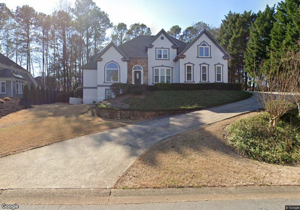
1213 Lexham Dr Marietta, GA 30068
East Cobb NeighborhoodEstimated Value: $1,043,000 - $1,087,768
4
Beds
4
Baths
3,967
Sq Ft
$269/Sq Ft
Est. Value
About This Home
This home is located at 1213 Lexham Dr, Marietta, GA 30068 and is currently estimated at $1,068,192, approximately $269 per square foot. 1213 Lexham Dr is a home located in Cobb County with nearby schools including Mount Bethel Elementary School, Dickerson Middle School, and Walton High School.
Ownership History
Date
Name
Owned For
Owner Type
Purchase Details
Closed on
Jun 7, 2002
Sold by
Amarsi Laila J
Bought by
Amarsi Shahzin F
Current Estimated Value
Purchase Details
Closed on
Oct 10, 1996
Sold by
Cottone Thomas E Andrea
Bought by
Houston Thomas
Create a Home Valuation Report for This Property
The Home Valuation Report is an in-depth analysis detailing your home's value as well as a comparison with similar homes in the area
Home Values in the Area
Average Home Value in this Area
Purchase History
| Date | Buyer | Sale Price | Title Company |
|---|---|---|---|
| Amarsi Shahzin F | -- | -- | |
| Houston Thomas | $560,000 | -- |
Source: Public Records
Mortgage History
| Date | Status | Borrower | Loan Amount |
|---|---|---|---|
| Closed | Houston Thomas | $0 |
Source: Public Records
Tax History Compared to Growth
Tax History
| Year | Tax Paid | Tax Assessment Tax Assessment Total Assessment is a certain percentage of the fair market value that is determined by local assessors to be the total taxable value of land and additions on the property. | Land | Improvement |
|---|---|---|---|---|
| 2025 | $3,191 | $332,176 | $92,000 | $240,176 |
| 2024 | $3,197 | $332,176 | $92,000 | $240,176 |
| 2023 | $2,892 | $298,948 | $80,000 | $218,948 |
| 2022 | $3,030 | $276,212 | $80,000 | $196,212 |
| 2021 | $2,841 | $255,544 | $80,000 | $175,544 |
| 2020 | $3,013 | $270,520 | $80,000 | $190,520 |
| 2019 | $8,210 | $270,520 | $80,000 | $190,520 |
| 2018 | $8,210 | $270,520 | $80,000 | $190,520 |
| 2017 | $7,430 | $258,444 | $78,000 | $180,444 |
| 2016 | $7,430 | $258,444 | $78,000 | $180,444 |
| 2015 | $7,614 | $258,444 | $78,000 | $180,444 |
| 2014 | $7,678 | $258,444 | $0 | $0 |
Source: Public Records
Map
Nearby Homes
- 1420 Lafayette Ln
- 1448 Heritage Glen Dr
- 4871 Karls Gate Dr
- 4580 Roswell Rd
- 5000 Lakeland Dr
- 4528 Lashley Ct NE
- 5184 Deering Trail Unit 2
- 5197 Forest Brook Pkwy
- 748 Olde Towne Ln
- 909 Otter Way NE
- 742 Olde Towne Ln
- 5157 Forest Brook Pkwy
- 1525 Huntingford Dr
- 4599 Lasalle Ct Unit 8A
- 1382 Huntingford Dr Unit 2
- 748 Noble Oak Dr
- 4831 Emmitt Point NE
- 1211 Lexham Dr
- 4781 Broxbourne Dr
- 1301 Hatton Walk
- 1209 Lexham Dr
- 1217 Lexham Dr
- 4783 Broxbourne Dr
- 4779 Broxbourne Dr
- 1212 Lexham Dr
- 1300 Hatton Walk
- 1219 Lexham Dr
- 4785 Broxbourne Dr
- 1305 Hatton Walk
- 0 Lexham Dr Unit 7524304
- 0 Lexham Dr Unit 7248626
- 0 Lexham Dr Unit 7119661
- 0 Lexham Dr Unit 7003117
- 0 Lexham Dr Unit 7442150
- 0 Lexham Dr Unit 7331602
- 0 Lexham Dr Unit 7351799