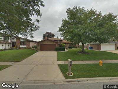
1213 N Honey Hill Rd Addison, IL 60101
Estimated Value: $391,459 - $476,000
--
Bed
1
Bath
2,255
Sq Ft
$200/Sq Ft
Est. Value
About This Home
This home is located at 1213 N Honey Hill Rd, Addison, IL 60101 and is currently estimated at $450,115, approximately $199 per square foot. 1213 N Honey Hill Rd is a home located in DuPage County with nearby schools including Stone Elementary School, Indian Trail Jr High School, and Addison Trail High School.
Ownership History
Date
Name
Owned For
Owner Type
Purchase Details
Closed on
Jun 26, 2019
Sold by
Oxford Bank & Trust
Bought by
Maggiolino Giuseppe and Giuseppe Maggiolino Living Trust
Current Estimated Value
Purchase Details
Closed on
Feb 29, 1996
Sold by
Maggiolino Giuseppe and Maggiolino Anna
Bought by
Oxford Bank & Trust
Create a Home Valuation Report for This Property
The Home Valuation Report is an in-depth analysis detailing your home's value as well as a comparison with similar homes in the area
Home Values in the Area
Average Home Value in this Area
Purchase History
| Date | Buyer | Sale Price | Title Company |
|---|---|---|---|
| Maggiolino Giuseppe | -- | Attorney |
Source: Public Records
Mortgage History
| Date | Status | Borrower | Loan Amount |
|---|---|---|---|
| Previous Owner | Oxford Bank & Trust | $100,000 | |
| Previous Owner | The Oxford Bank & Trust | $108,219 | |
| Previous Owner | Oxford Bank & Trust | $50,000 |
Source: Public Records
Tax History Compared to Growth
Tax History
| Year | Tax Paid | Tax Assessment Tax Assessment Total Assessment is a certain percentage of the fair market value that is determined by local assessors to be the total taxable value of land and additions on the property. | Land | Improvement |
|---|---|---|---|---|
| 2023 | $4,602 | $125,730 | $45,270 | $80,460 |
| 2022 | $4,972 | $120,970 | $43,320 | $77,650 |
| 2021 | $4,986 | $115,870 | $41,490 | $74,380 |
| 2020 | $5,077 | $110,980 | $39,740 | $71,240 |
| 2019 | $5,257 | $106,710 | $38,210 | $68,500 |
| 2018 | $5,480 | $106,510 | $37,100 | $69,410 |
| 2017 | $5,604 | $101,800 | $35,460 | $66,340 |
| 2016 | $5,942 | $93,990 | $32,740 | $61,250 |
| 2015 | $6,311 | $86,820 | $30,240 | $56,580 |
| 2014 | $6,352 | $78,510 | $27,710 | $50,800 |
| 2013 | $6,233 | $80,120 | $28,280 | $51,840 |
Source: Public Records
Map
Nearby Homes
- 1236 N Fischer Dr
- 656 W Saint Aubin Dr
- 1245 N White Fence Ln
- 510 W Millns Ct
- 1144 W Trinity Dr
- 624 Forest Preserve Dr
- 1219 W Sable Dr
- 1223 N Itasca Rd
- 522 W Park Place
- 465 W Dominion Dr Unit 1003
- 465 W Dominion Dr Unit 110
- 465 W Dominion Dr Unit 902
- 465 W Dominion Dr Unit 1501
- 465 W Dominion Dr Unit 1302
- 466 Elizabeth Dr Unit 17-C
- 1248 W Byron Ave
- 1300 W Byron Ave
- 1200 N Foxdale Dr Unit 109
- 1210 N Foxdale Dr Unit 2307
- 631 N Briar Hill Ln Unit 2
- 1213 N Honey Hill Rd
- 1209 N Honey Hill Rd
- 1217 N Honey Hill Rd
- 1205 N Honey Hill Rd
- 1216 N Fischer Dr
- 1224 N Fischer Dr
- 1221 N Honey Hill Rd
- 1208 N Fischer Dr
- 1228 N Fischer Dr
- 1201 N Honey Hill Rd
- 808 W Sable Dr
- 1208 N Honey Hill Rd
- 1216 N Honey Hill Rd
- 1232 N Fischer Dr
- 1212 N Honey Hill Rd
- 1225 N Honey Hill Rd
- 802 Sable Ave
- 802 W Sable Dr
- 1204 N Honey Hill Rd
- 1220 N Honey Hill Rd