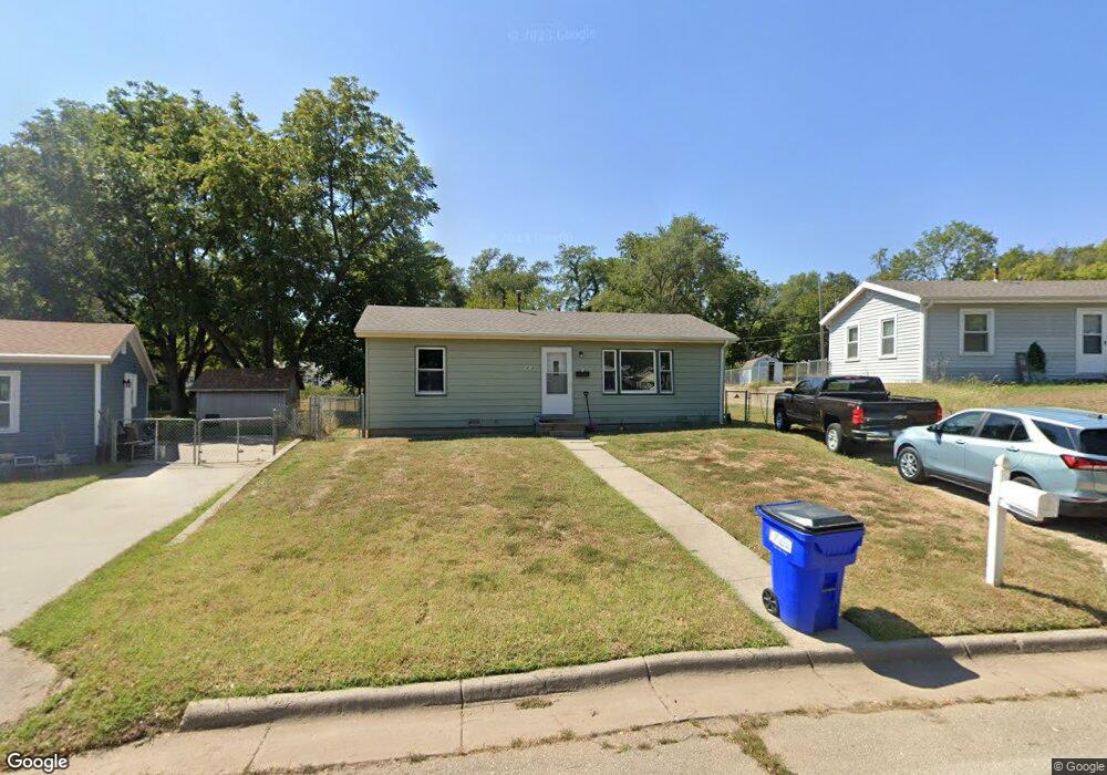
1213 Pershing Dr Junction City, KS 66441
Estimated Value: $91,000 - $113,000
2
Beds
1
Bath
720
Sq Ft
$141/Sq Ft
Est. Value
About This Home
This home is located at 1213 Pershing Dr, Junction City, KS 66441 and is currently estimated at $101,628, approximately $141 per square foot. 1213 Pershing Dr is a home located in Geary County with nearby schools including Westwood Elementary School, Junction City Middle School, and Junction City Senior High School.
Ownership History
Date
Name
Owned For
Owner Type
Purchase Details
Closed on
May 18, 2022
Sold by
Secretary Of Veterans Affairs
Bought by
Bonacorda John T
Current Estimated Value
Home Financials for this Owner
Home Financials are based on the most recent Mortgage that was taken out on this home.
Original Mortgage
$40,000
Outstanding Balance
$37,753
Interest Rate
4.72%
Mortgage Type
New Conventional
Estimated Equity
$63,875
Purchase Details
Closed on
Apr 21, 2022
Sold by
Bonacorda John T
Bought by
Cabanting Teresa
Home Financials for this Owner
Home Financials are based on the most recent Mortgage that was taken out on this home.
Original Mortgage
$40,000
Outstanding Balance
$37,753
Interest Rate
4.72%
Mortgage Type
New Conventional
Estimated Equity
$63,875
Create a Home Valuation Report for This Property
The Home Valuation Report is an in-depth analysis detailing your home's value as well as a comparison with similar homes in the area
Home Values in the Area
Average Home Value in this Area
Purchase History
| Date | Buyer | Sale Price | Title Company |
|---|---|---|---|
| Bonacorda John T | $31,700 | -- | |
| Cabanting Teresa | -- | Junction City Abstract Title |
Source: Public Records
Mortgage History
| Date | Status | Borrower | Loan Amount |
|---|---|---|---|
| Open | Cabanting Teresa | $40,000 |
Source: Public Records
Tax History Compared to Growth
Tax History
| Year | Tax Paid | Tax Assessment Tax Assessment Total Assessment is a certain percentage of the fair market value that is determined by local assessors to be the total taxable value of land and additions on the property. | Land | Improvement |
|---|---|---|---|---|
| 2025 | $1,143 | $8,321 | $2,214 | $6,107 |
| 2024 | $972 | $7,776 | $2,156 | $5,620 |
| 2023 | $1,012 | $7,331 | $2,080 | $5,251 |
| 2022 | $0 | $6,891 | $2,023 | $4,868 |
| 2021 | $0 | $6,152 | $1,956 | $4,196 |
| 2020 | $952 | $6,082 | $1,852 | $4,230 |
| 2019 | $1,429 | $5,962 | $1,017 | $4,945 |
| 2018 | $885 | $5,693 | $1,017 | $4,676 |
| 2017 | $894 | $5,693 | $1,119 | $4,574 |
| 2016 | $955 | $6,006 | $1,078 | $4,928 |
| 2015 | $916 | $6,005 | $713 | $5,292 |
| 2014 | $757 | $5,233 | $1,079 | $4,154 |
Source: Public Records
Map
Nearby Homes
- 1129 W 20th Cir
- 1906 Ehlers Ct
- 2117 Thompson Dr
- 1505 Dean Ave
- 1409 W 14th St
- 1631 W 14th Street Place
- 1202 W 12th St
- 1119 Fair St
- 1309 Hale Dr
- 811 W 13th St
- 1904 Davis Dr
- 1504 Thompson Dr
- 623 W 13th St
- 2007 Quail Run
- 823 W 11th St
- 2003 Brooke Bend
- 1703 Lydia Ln
- 609 W 13th St
- 601 W 13th St
- 1412 Rucker Rd
- 1209 Pershing Dr
- 1221 Pershing Dr
- 1208 Pershing Dr
- 1212 W 18th St
- 1216 W 18th St
- 1225 Pershing Dr
- 1201 Pershing Dr
- 1208 W 18th St
- 1220 W 18th St
- 1200 Pershing Dr
- 1204 W 18th St
- 1212 Pershing Dr
- 1804 Elmdale Ave
- 1816 Elmdale Ave
- 1229 Pershing Dr
- 1224 W 18th St
- 1817 Custer Rd
- 1821 Custer Rd
- 1813 Custer Rd