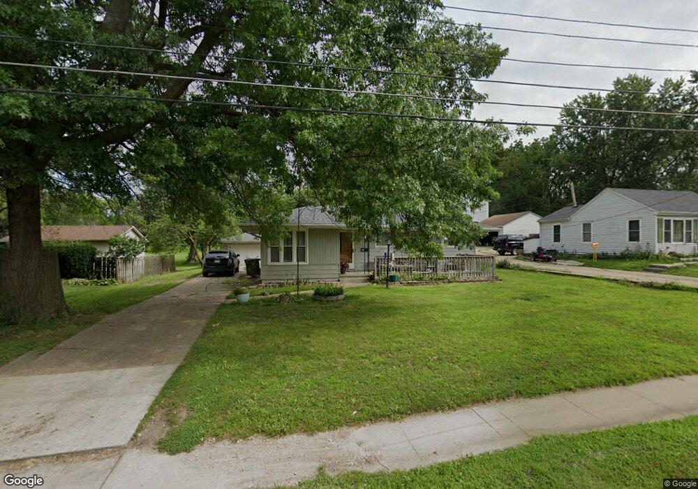
1213 Porter Ave Des Moines, IA 50315
Watrous South NeighborhoodEstimated Value: $188,690 - $255,000
3
Beds
1
Bath
996
Sq Ft
$211/Sq Ft
Est. Value
About This Home
This home is located at 1213 Porter Ave, Des Moines, IA 50315 and is currently estimated at $209,673, approximately $210 per square foot. 1213 Porter Ave is a home located in Polk County with nearby schools including Wright Elementary School, Brody Middle School, and Lincoln High School.
Ownership History
Date
Name
Owned For
Owner Type
Purchase Details
Closed on
Oct 10, 2005
Sold by
Viola Mari I and Viola Theresa M
Bought by
Viola Frank J
Current Estimated Value
Home Financials for this Owner
Home Financials are based on the most recent Mortgage that was taken out on this home.
Original Mortgage
$110,000
Interest Rate
6.2%
Mortgage Type
Fannie Mae Freddie Mac
Purchase Details
Closed on
Apr 22, 2005
Sold by
Viola Frank J
Bought by
Viola Frank J and Viola Mari I
Create a Home Valuation Report for This Property
The Home Valuation Report is an in-depth analysis detailing your home's value as well as a comparison with similar homes in the area
Home Values in the Area
Average Home Value in this Area
Purchase History
| Date | Buyer | Sale Price | Title Company |
|---|---|---|---|
| Viola Frank J | -- | -- | |
| Viola Frank J | -- | -- |
Source: Public Records
Mortgage History
| Date | Status | Borrower | Loan Amount |
|---|---|---|---|
| Previous Owner | Viola Frank J | $110,000 |
Source: Public Records
Tax History
| Year | Tax Paid | Tax Assessment Tax Assessment Total Assessment is a certain percentage of the fair market value that is determined by local assessors to be the total taxable value of land and additions on the property. | Land | Improvement |
|---|---|---|---|---|
| 2025 | $3,210 | $183,500 | $53,700 | $129,800 |
| 2024 | $3,210 | $163,200 | $46,900 | $116,300 |
| 2023 | $3,144 | $163,200 | $46,900 | $116,300 |
| 2022 | $3,120 | $133,400 | $39,900 | $93,500 |
| 2021 | $3,014 | $133,400 | $39,900 | $93,500 |
| 2020 | $3,132 | $120,800 | $35,800 | $85,000 |
| 2019 | $3,062 | $120,800 | $35,800 | $85,000 |
| 2018 | $3,030 | $113,900 | $32,200 | $81,700 |
| 2017 | $3,062 | $113,900 | $32,200 | $81,700 |
| 2016 | $2,984 | $113,200 | $31,400 | $81,800 |
| 2015 | $2,984 | $113,200 | $31,400 | $81,800 |
| 2014 | $2,902 | $113,300 | $31,000 | $82,300 |
Source: Public Records
Map
Nearby Homes
- 1207 Kenyon Ave
- 5915 SW 12th St
- 6001 SW 13th Place
- 1419 Payton Ave
- 1243 Hackley Ave
- 1515 Highview Dr
- 5402 SW 8th St
- 1616 Southlawn Dr
- 4916 SW 13th St
- 902 Hackley Ave
- 6205 SW 12th St
- 1310 Leland Ave
- 912 Titus Ave
- 1242 Mckinley Ave
- 936 Mckinley Ave Unit 14
- 700 Payton Ave
- 5413 SW 19th St
- 4707 SW 14th St
- 1324 Army Post Rd
- 1225 West St
- 1211 Porter Ave
- 1225 Porter Ave
- 1207 Porter Ave
- 1210 Porter Ave
- 1208 Porter Ave
- 1212 Porter Ave
- 1209 Porter Ave
- 1215 Porter Ave
- 1206 Porter Ave
- 1214 Porter Ave
- 1203 Porter Ave
- 1204 Porter Ave
- 1216 Porter Ave
- 1305 Porter Ave
- 1202 Porter Ave
- 1201 Porter Ave
- 1218 Porter Ave
- 1211 Southlawn Dr
- 1209 Southlawn Dr
- 1213 Southlawn Dr
Your Personal Tour Guide
Ask me questions while you tour the home.