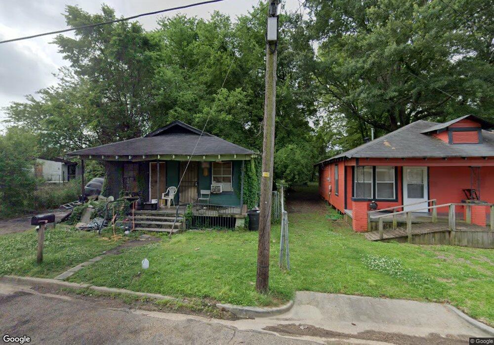
1213 Topp Ave Unit 15 Jackson, MS 39204
West Jackson NeighborhoodEstimated Value: $45,070 - $70,000
Studio
--
Bath
1,008
Sq Ft
$57/Sq Ft
Est. Value
About This Home
This home is located at 1213 Topp Ave Unit 15, Jackson, MS 39204 and is currently estimated at $57,535, approximately $57 per square foot. 1213 Topp Ave Unit 15 is a home located in Hinds County with nearby schools including Isable Elementary School, Blackburn Laboratory Middle School, and Jim Hill High School.
Ownership History
Date
Name
Owned For
Owner Type
Purchase Details
Closed on
May 3, 2019
Sold by
K & P Enterprise Inc
Bought by
Norwood Allen and Bender Deborah J
Current Estimated Value
Purchase Details
Closed on
Aug 29, 2007
Sold by
Brown Calvin Charles and Brown Faye C
Bought by
K And P Enterprise Inc
Home Financials for this Owner
Home Financials are based on the most recent Mortgage that was taken out on this home.
Original Mortgage
$30,373
Interest Rate
6.65%
Create a Home Valuation Report for This Property
The Home Valuation Report is an in-depth analysis detailing your home's value as well as a comparison with similar homes in the area
Home Values in the Area
Average Home Value in this Area
Purchase History
| Date | Buyer | Sale Price | Title Company |
|---|---|---|---|
| Norwood Allen | $5,000 | -- | |
| K And P Enterprise Inc | -- | -- |
Source: Public Records
Mortgage History
| Date | Status | Borrower | Loan Amount |
|---|---|---|---|
| Previous Owner | K And P Enterprise Inc | $30,373 |
Source: Public Records
Tax History
| Year | Tax Paid | Tax Assessment Tax Assessment Total Assessment is a certain percentage of the fair market value that is determined by local assessors to be the total taxable value of land and additions on the property. | Land | Improvement |
|---|---|---|---|---|
| 2025 | $634 | $3,263 | $1,050 | $2,213 |
| 2024 | $634 | $3,278 | $1,050 | $2,228 |
| 2023 | $634 | $3,278 | $1,050 | $2,228 |
| 2022 | $631 | $3,278 | $1,050 | $2,228 |
| 2021 | $631 | $3,278 | $1,050 | $2,228 |
| 2020 | $615 | $3,213 | $1,050 | $2,163 |
| 2019 | $615 | $3,213 | $1,050 | $2,163 |
| 2018 | $608 | $3,213 | $1,050 | $2,163 |
| 2017 | $593 | $3,213 | $1,050 | $2,163 |
| 2016 | $593 | $3,213 | $1,050 | $2,163 |
| 2015 | $570 | $3,183 | $1,050 | $2,133 |
| 2014 | $569 | $3,183 | $1,050 | $2,133 |
Source: Public Records
Map
Nearby Homes
- 1850 Harrison Ave
- 0 Jones Ave
- 0 Raymond Rd Unit 4122558
- 0 Raymond Rd Unit 4136810
- 1441 Central St
- 264 Shady Cir
- 0 S Roach St
- 1080 Alta Vista Blvd
- 1924 Willow Way
- 1325 Fourth Ave
- 1800 S Gallatin St
- 1126 Aberdeen St
- 0 S West St
- 308 Alta Woods Blvd
- 303 Sunny Lane Dr
- 0 Beasley Rd Unit 4122892
- 359 Cummins St
- 2001 Paden St
- 2112 Paden St
- 1939 Belvedere Dr
- 1216 Booker St
- 1839 Dalton St
- 1220 Booker St
- 1217 Topp Ave
- 1837 Dalton St
- 1221 Topp Ave
- 1821 Dalton St
- 1224 Booker St
- 1223 Topp Ave
- 1225 Topp Ave
- 1215 Booker St Unit 17
- 1211 Booker St
- 1219 Booker St
- 1229 Topp Ave
- 1771 Dalton St
- 1203 Booker St
- 1218 Topp Ave
- 1812 Dalton St
- 1818 Dalton St
- 1806 Dalton St
Your Personal Tour Guide
Ask me questions while you tour the home.