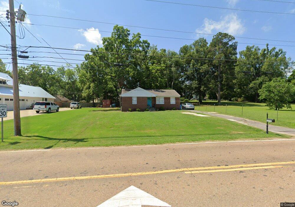
12135 Forrest St Arlington, TN 38002
Estimated Value: $207,049 - $253,000
3
Beds
2
Baths
1,105
Sq Ft
$201/Sq Ft
Est. Value
About This Home
This home is located at 12135 Forrest St, Arlington, TN 38002 and is currently estimated at $222,262, approximately $201 per square foot. 12135 Forrest St is a home located in Shelby County with nearby schools including Arlington Elementary School, Arlington Middle School, and Arlington High School.
Ownership History
Date
Name
Owned For
Owner Type
Purchase Details
Closed on
Oct 29, 2018
Sold by
Ragan Samuel and Ragan Michel
Bought by
Eavenson Shawn and Eavenson Shannon D
Current Estimated Value
Home Financials for this Owner
Home Financials are based on the most recent Mortgage that was taken out on this home.
Original Mortgage
$102,000
Outstanding Balance
$89,320
Interest Rate
4.6%
Mortgage Type
Unknown
Estimated Equity
$132,942
Purchase Details
Closed on
Apr 30, 2004
Sold by
Talley Rodney E and Talley Sabina E
Bought by
Ragan Samuel and Ragan Michel
Purchase Details
Closed on
Jan 23, 2004
Sold by
Baker Jerry and Cohen Sylvia Baker
Bought by
Talley Rodney E and Talley Sabina E
Home Financials for this Owner
Home Financials are based on the most recent Mortgage that was taken out on this home.
Original Mortgage
$100,800
Interest Rate
5.81%
Mortgage Type
Unknown
Create a Home Valuation Report for This Property
The Home Valuation Report is an in-depth analysis detailing your home's value as well as a comparison with similar homes in the area
Home Values in the Area
Average Home Value in this Area
Purchase History
| Date | Buyer | Sale Price | Title Company |
|---|---|---|---|
| Eavenson Shawn | $140,000 | None Available | |
| Ragan Samuel | $120,000 | Edco Title & Closing Service | |
| Talley Rodney E | $125,000 | -- |
Source: Public Records
Mortgage History
| Date | Status | Borrower | Loan Amount |
|---|---|---|---|
| Open | Eavenson Shawn | $102,000 | |
| Previous Owner | Talley Rodney E | $100,800 |
Source: Public Records
Tax History Compared to Growth
Tax History
| Year | Tax Paid | Tax Assessment Tax Assessment Total Assessment is a certain percentage of the fair market value that is determined by local assessors to be the total taxable value of land and additions on the property. | Land | Improvement |
|---|---|---|---|---|
| 2025 | $1,105 | $40,100 | $15,100 | $25,000 |
| 2024 | $2,210 | $32,600 | $13,550 | $19,050 |
| 2023 | $1,522 | $32,600 | $13,550 | $19,050 |
| 2022 | $1,522 | $32,600 | $13,550 | $19,050 |
| 2021 | $1,542 | $32,600 | $13,550 | $19,050 |
| 2020 | $1,546 | $28,525 | $11,425 | $17,100 |
Source: Public Records
Map
Nearby Homes
- 12133 S Shady Tree Ln
- 12179 S Shady Tree Ln
- 12150 Osborne Grove Dr
- 12260 Afton Place
- 0 Us 70 Hwy Unit 10096004
- 6284 Bevan Lake Dr
- 6324 Bevan Lake Dr
- 6314 Bevan Lake Dr
- 6318 Bevan Lake Dr
- 6302 Bevan Lake Dr
- 6350 Bevan Lake Dr
- 5967 Carters Bluff Dr
- 12245 Longhorn Dr
- 11996 Douglass St
- 11850 Us 70 Hwy
- 11819 Highway 70
- 5011 Jon Oak Cove
- 5030 Jon Oak Cove
- 5046 Jon Oak Cove
- 5056 Jon Oak Cove
- 12151 Forrest St
- 12141 N Shady Tree Ln
- 12160 N Shady Tree Ln
- 12149 N Shady Tree Ln
- 12135 N Shady Tree Ln
- 12101 Forrest St
- 12123 Forrest St
- 12161 N Shady Tree Ln
- 12170 N Shady Tree Ln
- 12171 N Shady Tree Ln
- 12130 N Shady Tree Ln
- 12130 S Shady Tree Ln
- 12089 Forrest St
- 12129 S Shady Tree Ln
- 12180 N Shady Tree Ln
- 12090 Forrest St
- 12185 N Shady Tree Ln
- 12162 S Shady Tree Ln
- 12140 S Shady Tree Ln
- 12154 N Shady Tree Ln