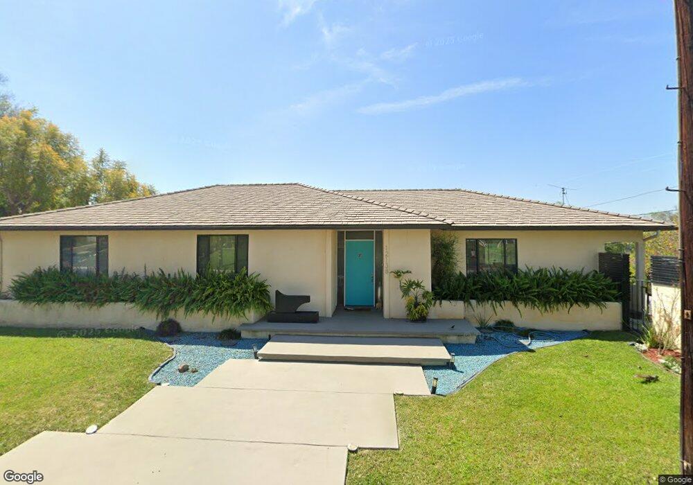
12138 Beverly Dr Whittier, CA 90601
West Whittier NeighborhoodEstimated Value: $843,000 - $1,005,358
4
Beds
3
Baths
1,703
Sq Ft
$548/Sq Ft
Est. Value
About This Home
This home is located at 12138 Beverly Dr, Whittier, CA 90601 and is currently estimated at $933,840, approximately $548 per square foot. 12138 Beverly Dr is a home located in Los Angeles County with nearby schools including Longfellow Elementary School, Walter F. Dexter Middle School, and Whittier High School.
Ownership History
Date
Name
Owned For
Owner Type
Purchase Details
Closed on
Jun 1, 2012
Sold by
Roufs William J
Bought by
Roufs William J and Roufs Patricia M
Current Estimated Value
Home Financials for this Owner
Home Financials are based on the most recent Mortgage that was taken out on this home.
Original Mortgage
$305,000
Interest Rate
3.74%
Mortgage Type
New Conventional
Purchase Details
Closed on
Jun 9, 1999
Sold by
Roufs William J
Bought by
Roufs William J and Roufs Patricia M
Create a Home Valuation Report for This Property
The Home Valuation Report is an in-depth analysis detailing your home's value as well as a comparison with similar homes in the area
Home Values in the Area
Average Home Value in this Area
Purchase History
| Date | Buyer | Sale Price | Title Company |
|---|---|---|---|
| Roufs William J | -- | First American Title Company | |
| Roufs William J | -- | First American Title Company | |
| Roufs William J | -- | -- |
Source: Public Records
Mortgage History
| Date | Status | Borrower | Loan Amount |
|---|---|---|---|
| Closed | Roufs William J | $305,000 |
Source: Public Records
Tax History
| Year | Tax Paid | Tax Assessment Tax Assessment Total Assessment is a certain percentage of the fair market value that is determined by local assessors to be the total taxable value of land and additions on the property. | Land | Improvement |
|---|---|---|---|---|
| 2025 | $2,406 | $136,976 | $45,320 | $91,656 |
| 2024 | $2,406 | $134,291 | $44,432 | $89,859 |
| 2023 | $2,372 | $131,659 | $43,561 | $88,098 |
| 2022 | $2,313 | $129,078 | $42,707 | $86,371 |
| 2021 | $2,252 | $126,548 | $41,870 | $84,678 |
| 2019 | $2,187 | $122,796 | $40,629 | $82,167 |
| 2018 | $2,028 | $120,389 | $39,833 | $80,556 |
| 2016 | $1,937 | $115,716 | $38,287 | $77,429 |
| 2015 | $1,885 | $113,978 | $37,712 | $76,266 |
| 2014 | $1,850 | $111,747 | $36,974 | $74,773 |
Source: Public Records
Map
Nearby Homes
- 12208 Rose Dr
- 12530 Carinthia Dr
- 5628 Panorama Dr
- 5315 Bihr Ct
- 5522 Greenleaf Ave
- 5205 Tierra Bonita Dr
- 10602 Monaco Ct
- 5235 Andalucia Ct
- 5518 Rockne Ave
- 5029 Tierra Antigua Dr Unit 107
- 4807 Cinco View Dr
- 10605 Cordoba Ct
- 4810 Cinco View Dr
- 6330 Pierce Ave
- 5827 Washington Ave
- 6251 Milton Ave
- 6350 Court Ave
- 11141 Dorland St
- 11835 Pocasset Dr
- 6340 Newlin Ave
- 5507 Gregory Ave
- 5513 Gregory Ave
- 5516 Hoover Ave
- 5524 Hoover Ave
- 12139 Beverly Dr
- 12133 Beverly Dr
- 12120 Beverly Dr
- 12147 Beverly Dr
- 5530 Hoover Ave
- 12127 Beverly Dr
- 5519 Gregory Ave
- 12203 Beverly Dr
- 5510 Gregory Ave
- 12121 Beverly Dr
- 5536 Hoover Ave
- 5525 Gregory Ave
- 12209 Beverly Dr
- 5516 Gregory Ave
- 12115 Beverly Dr
- 12212 Norino Dr
Your Personal Tour Guide
Ask me questions while you tour the home.