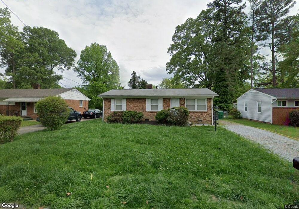
1214 Camden Ave High Point, NC 27260
Greater High Point NeighborhoodEstimated Value: $128,000 - $157,000
3
Beds
1
Bath
1,000
Sq Ft
$142/Sq Ft
Est. Value
About This Home
This home is located at 1214 Camden Ave, High Point, NC 27260 and is currently estimated at $141,875, approximately $141 per square foot. 1214 Camden Ave is a home located in Guilford County with nearby schools including Parkview Village Elementary School, Southwest Guilford Middle School, and Southwest Guilford High School.
Ownership History
Date
Name
Owned For
Owner Type
Purchase Details
Closed on
Apr 9, 2024
Sold by
Street Llc
Bought by
Everly Property Group Llc
Current Estimated Value
Purchase Details
Closed on
Dec 16, 2021
Sold by
Doster Bety Oneil
Bought by
Everly Property Group Llc
Purchase Details
Closed on
Apr 16, 2009
Bought by
Doster Betty O
Create a Home Valuation Report for This Property
The Home Valuation Report is an in-depth analysis detailing your home's value as well as a comparison with similar homes in the area
Home Values in the Area
Average Home Value in this Area
Purchase History
| Date | Buyer | Sale Price | Title Company |
|---|---|---|---|
| Everly Property Group Llc | -- | None Listed On Document | |
| Everly Property Group Llc | -- | None Listed On Document | |
| Everly Property Group Llc | $90,000 | None Available | |
| Doster Betty O | -- | -- |
Source: Public Records
Tax History Compared to Growth
Tax History
| Year | Tax Paid | Tax Assessment Tax Assessment Total Assessment is a certain percentage of the fair market value that is determined by local assessors to be the total taxable value of land and additions on the property. | Land | Improvement |
|---|---|---|---|---|
| 2025 | $1,177 | $85,400 | $14,000 | $71,400 |
| 2024 | $1,177 | $85,400 | $14,000 | $71,400 |
| 2023 | $1,177 | $85,400 | $14,000 | $71,400 |
| 2022 | $545 | $85,400 | $14,000 | $71,400 |
| 2021 | $29 | $47,100 | $9,000 | $38,100 |
| 2020 | $29 | $47,100 | $9,000 | $38,100 |
| 2019 | $29 | $47,100 | $0 | $0 |
| 2018 | $29 | $47,100 | $0 | $0 |
| 2017 | $29 | $47,100 | $0 | $0 |
| 2016 | -- | $42,300 | $0 | $0 |
| 2015 | -- | $42,300 | $0 | $0 |
| 2014 | -- | $42,300 | $0 | $0 |
Source: Public Records
Map
Nearby Homes
- 1005 Gordon St
- 1007 Gordon St
- 1606 Boundary Ave
- 1604 Boundary Ave
- 1602 Boundary Ave
- 1508 Boundary Ave
- 1120 Carolina St
- 1702 E Martin Luther King Junior Dr
- 901 Circle Dr
- 1728 Brooks Ave
- 2507 E Lexington Ave
- 1528 Graves Ave
- 2515 Dallas Ave
- 1109 Terrell Dr
- 1445 Bailey Cir
- 1519 Mcguinn Dr
- 1514 Kingsway Dr
- 208 Underhill St
- 1224 S Downing St
- 504 Meredith St
- 1216 Camden Ave
- 1212 Camden Ave
- 1218 Camden Ave
- 1210 Camden Ave
- 1415 Wendell Ave
- 1413 Wendell Ave
- 1417 Wendell Ave
- 1208 Camden Ave
- 1411 Wendell Ave
- 1215 Camden Ave
- 1217 Camden Ave
- 1213 Camden Ave
- 1419 Wendell Ave
- 509 Gordon St
- 1219 Camden Ave
- 1409 Wendell Ave
- 1211 Camden Ave
- 1206 Camden Ave
- 1421 Wendell Ave
- 601 Gordon St