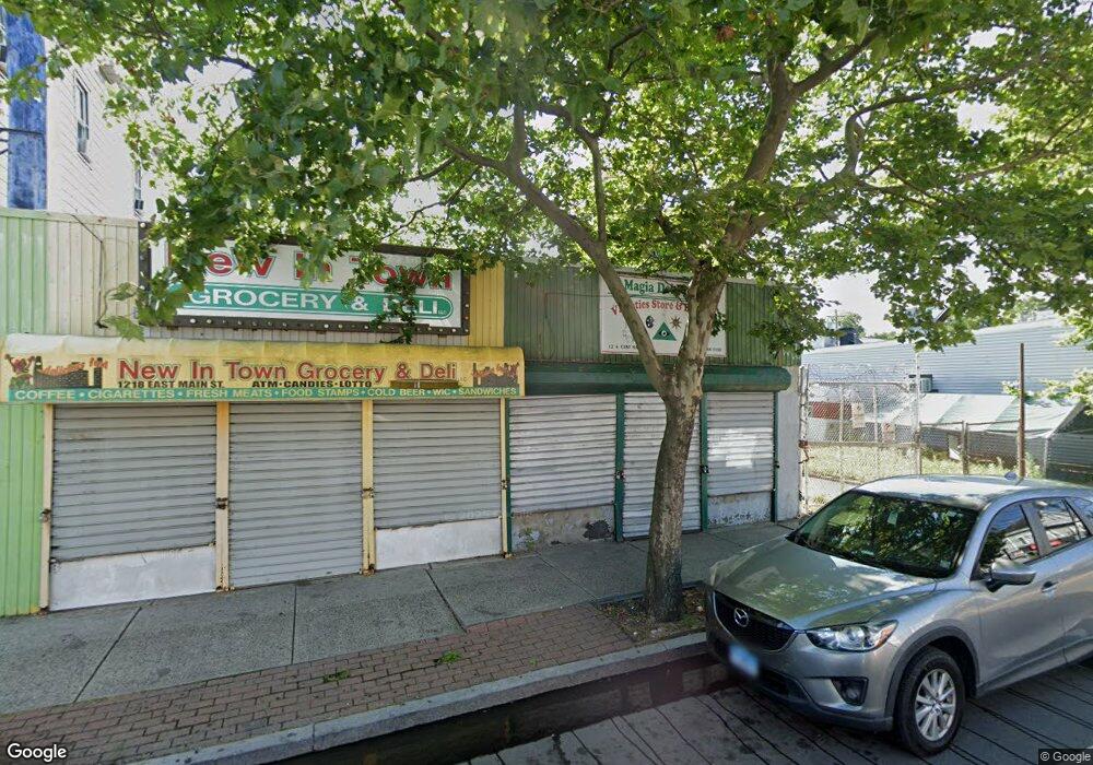
1214 E Main St Bridge Port, CT 06608
East Side Bridgeport Neighborhood
--
Bed
--
Bath
3,168
Sq Ft
4,356
Sq Ft Lot
About This Home
This home is located at 1214 E Main St, Bridge Port, CT 06608. 1214 E Main St is a home located in Fairfield County with nearby schools including Barnum School, Harding High School, and Achievement First Bridgeport Academy Elementary School.
Ownership History
Date
Name
Owned For
Owner Type
Purchase Details
Closed on
Aug 31, 2009
Sold by
Us Bk
Bought by
Echevarria Gladys
Purchase Details
Closed on
Jan 25, 2002
Sold by
Foster Robert
Bought by
Charles Manor Dev Llc
Purchase Details
Closed on
Sep 11, 1997
Sold by
Splaver Florence R
Bought by
Foster Robert
Home Financials for this Owner
Home Financials are based on the most recent Mortgage that was taken out on this home.
Original Mortgage
$39,000
Interest Rate
7.31%
Mortgage Type
Commercial
Create a Home Valuation Report for This Property
The Home Valuation Report is an in-depth analysis detailing your home's value as well as a comparison with similar homes in the area
Home Values in the Area
Average Home Value in this Area
Purchase History
| Date | Buyer | Sale Price | Title Company |
|---|---|---|---|
| Echevarria Gladys | $140,000 | -- | |
| Echevarria Gladys | $140,000 | -- | |
| Charles Manor Dev Llc | $100,000 | -- | |
| Charles Manor Dev Llc | $100,000 | -- | |
| Foster Robert | $60,000 | -- | |
| Foster Robert | $60,000 | -- |
Source: Public Records
Mortgage History
| Date | Status | Borrower | Loan Amount |
|---|---|---|---|
| Previous Owner | Foster Robert | $39,000 |
Source: Public Records
Tax History Compared to Growth
Tax History
| Year | Tax Paid | Tax Assessment Tax Assessment Total Assessment is a certain percentage of the fair market value that is determined by local assessors to be the total taxable value of land and additions on the property. | Land | Improvement |
|---|---|---|---|---|
| 2025 | $8,225 | $189,300 | $59,590 | $129,710 |
| 2024 | $8,225 | $189,300 | $59,590 | $129,710 |
| 2023 | $8,225 | $189,300 | $59,590 | $129,710 |
| 2022 | $8,225 | $189,300 | $59,590 | $129,710 |
| 2021 | $8,225 | $189,300 | $59,590 | $129,710 |
| 2020 | $9,220 | $170,780 | $48,800 | $121,980 |
| 2019 | $9,220 | $170,780 | $48,800 | $121,980 |
| 2018 | $9,285 | $170,780 | $48,800 | $121,980 |
| 2017 | $9,285 | $170,780 | $48,800 | $121,980 |
| 2016 | $9,285 | $170,780 | $48,800 | $121,980 |
| 2015 | $7,619 | $180,540 | $58,560 | $121,980 |
| 2014 | $7,619 | $180,540 | $58,560 | $121,980 |
Source: Public Records
Map
Nearby Homes
- 1200 E Main St
- 486 Ogden St Unit 492
- 486 Ogden St Unit 2
- 491 Shelton St
- 1192 E Main St
- 1215 E Main St
- 1211 E Main St
- 1217 E Main St Unit 1217
- 1207 E Main St
- 495 Shelton St
- 505 Shelton St
- 1191 E Main St
- 1234 E Main St
- 1213 E Main St
- 1199 E Main St
- 1219 E Main St
- 481 Ogden St
- 375 Brooks St Unit 377
- 1209 E Main St
- 485 Ogden St Unit 491