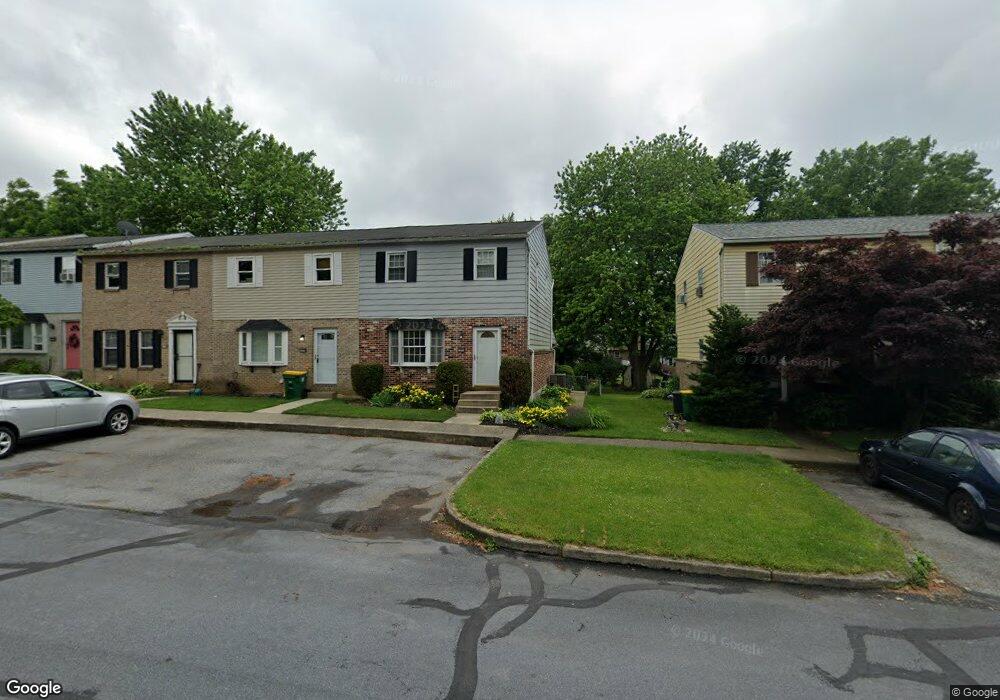
1214 Eagle St Allentown, PA 18106
Estimated Value: $273,000 - $310,000
3
Beds
3
Baths
1,320
Sq Ft
$220/Sq Ft
Est. Value
About This Home
This home is located at 1214 Eagle St, Allentown, PA 18106 and is currently estimated at $290,949, approximately $220 per square foot. 1214 Eagle St is a home located in Lehigh County with nearby schools including Willow Lane Elementary School, Lower Macungie Middle School, and Emmaus High School.
Ownership History
Date
Name
Owned For
Owner Type
Purchase Details
Closed on
Nov 16, 1992
Sold by
Shenkman Bernard and Shenkman Lauire I
Bought by
Matyas Michael J and Matyas Maria J
Current Estimated Value
Purchase Details
Closed on
Aug 30, 1983
Sold by
Mcdonald Jr Ralph H and Mcdonald Joanne J
Bought by
Shenkman Bernard and Shenkman Lauire I
Purchase Details
Closed on
Jan 31, 1978
Bought by
Mcdonald Ralph H and Mcdonald Joanne J
Create a Home Valuation Report for This Property
The Home Valuation Report is an in-depth analysis detailing your home's value as well as a comparison with similar homes in the area
Home Values in the Area
Average Home Value in this Area
Purchase History
| Date | Buyer | Sale Price | Title Company |
|---|---|---|---|
| Matyas Michael J | $79,800 | -- | |
| Shenkman Bernard | $52,500 | -- | |
| Mcdonald Ralph H | $34,300 | -- |
Source: Public Records
Tax History
| Year | Tax Paid | Tax Assessment Tax Assessment Total Assessment is a certain percentage of the fair market value that is determined by local assessors to be the total taxable value of land and additions on the property. | Land | Improvement |
|---|---|---|---|---|
| 2026 | $3,766 | $142,800 | $16,300 | $126,500 |
| 2025 | $3,646 | $142,800 | $16,300 | $126,500 |
| 2024 | $3,527 | $142,800 | $16,300 | $126,500 |
| 2023 | $3,457 | $142,800 | $16,300 | $126,500 |
| 2022 | $3,375 | $142,800 | $126,500 | $16,300 |
| 2021 | $3,303 | $142,800 | $16,300 | $126,500 |
| 2020 | $3,272 | $142,800 | $16,300 | $126,500 |
| 2019 | $3,216 | $142,800 | $16,300 | $126,500 |
| 2018 | $3,174 | $142,800 | $16,300 | $126,500 |
| 2017 | $3,118 | $142,800 | $16,300 | $126,500 |
| 2016 | -- | $142,800 | $16,300 | $126,500 |
| 2015 | -- | $142,800 | $16,300 | $126,500 |
| 2014 | -- | $142,800 | $16,300 | $126,500 |
Source: Public Records
Map
Nearby Homes
- 5622 Wedge Ln
- 1103 Timberidge Ln
- 5640 Kart Dr
- 5633 Kart Dr
- 5714 Greens Dr
- 5517 Tanglewood Ln
- 5619 Stonecroft Ln
- 1037 Village Round Unit L
- 5292 Hanover Dr
- 5475 Hamilton Blvd Unit 23
- 1138 Brookside Rd
- 5041 Cypress St
- 1190 Grange Rd Unit W11
- 1190 Grange Rd
- 1190 Grange Rd Unit A1
- 4994 Meadow Ln
- 6066 Timberknoll Dr
- 6126 Palomino Dr
- 2161 Woodridge Dr
- 1081 Barnside Rd
Your Personal Tour Guide
Ask me questions while you tour the home.