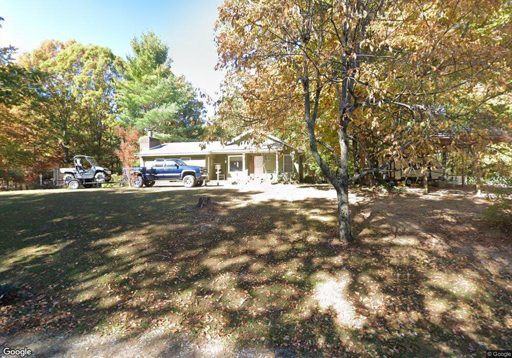
1214 Locust Dr Jamestown, TN 38556
Estimated Value: $252,000 - $348,000
--
Bed
--
Bath
1,836
Sq Ft
$161/Sq Ft
Est. Value
About This Home
This home is located at 1214 Locust Dr, Jamestown, TN 38556 and is currently estimated at $295,333, approximately $160 per square foot. 1214 Locust Dr is a home.
Ownership History
Date
Name
Owned For
Owner Type
Purchase Details
Closed on
May 15, 2007
Bought by
Treadway Shawn and Treadway Deborah
Current Estimated Value
Home Financials for this Owner
Home Financials are based on the most recent Mortgage that was taken out on this home.
Original Mortgage
$111,600
Outstanding Balance
$67,883
Interest Rate
6.17%
Mortgage Type
Cash
Estimated Equity
$227,450
Purchase Details
Closed on
Jan 18, 1989
Bought by
Cooper Dillard and Joyce Diane
Purchase Details
Closed on
May 10, 1988
Bought by
Cooper Threet Nick %Dillard
Create a Home Valuation Report for This Property
The Home Valuation Report is an in-depth analysis detailing your home's value as well as a comparison with similar homes in the area
Home Values in the Area
Average Home Value in this Area
Purchase History
| Date | Buyer | Sale Price | Title Company |
|---|---|---|---|
| Treadway Shawn | $124,000 | -- | |
| Cooper Dillard | $55,000 | -- | |
| Cooper Threet Nick %Dillard | $48,500 | -- |
Source: Public Records
Mortgage History
| Date | Status | Borrower | Loan Amount |
|---|---|---|---|
| Open | Cooper Threet Nick %Dillard | $111,600 |
Source: Public Records
Tax History Compared to Growth
Tax History
| Year | Tax Paid | Tax Assessment Tax Assessment Total Assessment is a certain percentage of the fair market value that is determined by local assessors to be the total taxable value of land and additions on the property. | Land | Improvement |
|---|---|---|---|---|
| 2024 | $671 | $49,700 | $4,000 | $45,700 |
| 2023 | $671 | $49,700 | $4,000 | $45,700 |
| 2022 | $590 | $30,900 | $4,000 | $26,900 |
| 2021 | $590 | $30,900 | $4,000 | $26,900 |
| 2020 | $590 | $30,900 | $4,000 | $26,900 |
| 2019 | $590 | $30,900 | $4,000 | $26,900 |
| 2018 | $590 | $30,900 | $4,000 | $26,900 |
| 2017 | $649 | $32,700 | $4,000 | $28,700 |
| 2016 | $649 | $32,700 | $4,000 | $28,700 |
| 2015 | $649 | $32,704 | $0 | $0 |
| 2014 | $649 | $32,704 | $0 | $0 |
Source: Public Records
Map
Nearby Homes
- 1214 Perimeter Dr
- 13 Poplar Dr
- 1308 Perimeter Dr
- 1203 Perimeter Dr
- 103 Laurel Dr
- 20 Poplar Dr
- 1400 Perimeter Dr
- 1301 Perimeter Dr
- 00 Laurel Dr
- 0 Laurel Dr
- 1309 Perimeter Dr
- 109 Laurel Dr
- 1102 Perimeter Dr
- 1001 N Pointe
- 111 Laurel Dr
- 17 Poplar Dr
- 1404 Perimeter Dr
- 3 Ivey Dr
- 3 Ivey Dr Unit 3
- 110 Laurel Dr