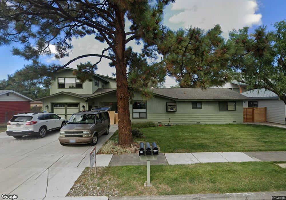
1214 NE Watson Dr Bend, OR 97701
Orchard District NeighborhoodEstimated Value: $651,518 - $675,000
3
Beds
2
Baths
1,400
Sq Ft
$474/Sq Ft
Est. Value
About This Home
This home is located at 1214 NE Watson Dr, Bend, OR 97701 and is currently estimated at $663,880, approximately $474 per square foot. 1214 NE Watson Dr is a home located in Deschutes County with nearby schools including Juniper Elementary School, Pilot Butte Middle School, and Bend Senior High School.
Ownership History
Date
Name
Owned For
Owner Type
Purchase Details
Closed on
Feb 10, 2022
Sold by
Tye Alice B
Bought by
Tye Alice B
Current Estimated Value
Home Financials for this Owner
Home Financials are based on the most recent Mortgage that was taken out on this home.
Original Mortgage
$529,600
Outstanding Balance
$490,836
Interest Rate
3.55%
Mortgage Type
New Conventional
Estimated Equity
$173,044
Create a Home Valuation Report for This Property
The Home Valuation Report is an in-depth analysis detailing your home's value as well as a comparison with similar homes in the area
Home Values in the Area
Average Home Value in this Area
Purchase History
| Date | Buyer | Sale Price | Title Company |
|---|---|---|---|
| Tye Alice B | $93,000 | Fidelity National Title |
Source: Public Records
Mortgage History
| Date | Status | Borrower | Loan Amount |
|---|---|---|---|
| Open | Tye Alice B | $529,600 |
Source: Public Records
Tax History
| Year | Tax Paid | Tax Assessment Tax Assessment Total Assessment is a certain percentage of the fair market value that is determined by local assessors to be the total taxable value of land and additions on the property. | Land | Improvement |
|---|---|---|---|---|
| 2025 | $4,567 | $270,270 | -- | -- |
| 2024 | $4,394 | $262,400 | -- | -- |
| 2023 | $4,073 | $254,760 | $0 | $0 |
| 2022 | $3,800 | $240,140 | $0 | $0 |
| 2021 | $3,806 | $233,150 | $0 | $0 |
| 2020 | $3,610 | $233,150 | $0 | $0 |
| 2019 | $3,510 | $226,360 | $0 | $0 |
| 2018 | $2,995 | $193,000 | $0 | $0 |
| 2017 | $2,237 | $144,150 | $0 | $0 |
| 2016 | $2,133 | $139,960 | $0 | $0 |
| 2015 | $2,074 | $135,890 | $0 | $0 |
| 2014 | $2,013 | $131,940 | $0 | $0 |
Source: Public Records
Map
Nearby Homes
- 2667 NE Jones Rd
- 2640 NE 8th St
- 1050 NE Butler Market Rd Unit 36
- 2109 NE 11th Place
- 1407 NE Talon Ct
- 2843 NE Waller Dr
- 530 NE Majesty Ln
- 832 NE Revere Ave
- 1482 NE Rumgay Ln
- 642 NE Seward Ave
- 1512 NE Quiet Ridge Ln
- 1532 NE 9th St
- 2342 NE Shadow Brook Place
- 1696 NE Lotus Dr
- 3843 NE Petrosa Ave
- 1419 NE Lucinda Ct
- 1801 NE Purcell Blvd Unit 20
- 468 NE Olney Ave
- 2101 NE Holliday Ave
- 2028 NE Patterson Cir
- 1204 NE Watson Dr
- 1217 NE Watson Dr
- 2230 NE Jones Rd
- 1211 NE Dempsey Dr
- 1221 NE Dempsey Dr
- 1205 NE Dempsey Dr
- 1229 NE Watson Dr
- 1230 NE Watson Dr
- 2305 NE Ravenwood Dr
- 1227 NE Dempsey Dr
- 1220 NE Hollinshead Dr
- 2308 NE Ravenwood Dr
- 1212 NE Hollinshead Dr
- 1204 NE Dempsey Dr
- 1239 NE Watson Dr
- 1204 NE Hollinshead Dr
- 1228 NE Hollinshead Dr
- 1240 NE Watson Dr
- 2319 NE Ravenwood Dr
- 1210 NE Dempsey Dr
Your Personal Tour Guide
Ask me questions while you tour the home.