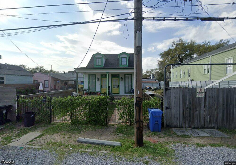
1214 Port St New Orleans, LA 70117
Saint Claude NeighborhoodEstimated Value: $237,123 - $322,000
3
Beds
1
Bath
1,152
Sq Ft
$238/Sq Ft
Est. Value
About This Home
This home is located at 1214 Port St, New Orleans, LA 70117 and is currently estimated at $274,531, approximately $238 per square foot. 1214 Port St is a home located in Orleans Parish with nearby schools including Homer Plessy French Quarter Community School, Mary Bethune Elementary School, and KIPP Leadership Primary.
Ownership History
Date
Name
Owned For
Owner Type
Purchase Details
Closed on
Jul 3, 2018
Sold by
Pepper Properties Llc
Bought by
Fraiche Lauren M
Current Estimated Value
Home Financials for this Owner
Home Financials are based on the most recent Mortgage that was taken out on this home.
Original Mortgage
$264,153
Outstanding Balance
$230,431
Interest Rate
4.8%
Mortgage Type
FHA
Estimated Equity
$44,100
Purchase Details
Closed on
Nov 13, 2017
Sold by
Denesse Albert Harry
Bought by
Pepper Properties Llc A Louisiana Limite
Create a Home Valuation Report for This Property
The Home Valuation Report is an in-depth analysis detailing your home's value as well as a comparison with similar homes in the area
Home Values in the Area
Average Home Value in this Area
Purchase History
| Date | Buyer | Sale Price | Title Company |
|---|---|---|---|
| Fraiche Lauren M | $134,000 | Geaux Title Llc | |
| Pepper Properties Llc A Louisiana Limite | $120,000 | True Title Of Metairie Llc |
Source: Public Records
Mortgage History
| Date | Status | Borrower | Loan Amount |
|---|---|---|---|
| Open | Fraiche Lauren M | $264,153 |
Source: Public Records
Tax History Compared to Growth
Tax History
| Year | Tax Paid | Tax Assessment Tax Assessment Total Assessment is a certain percentage of the fair market value that is determined by local assessors to be the total taxable value of land and additions on the property. | Land | Improvement |
|---|---|---|---|---|
| 2025 | $2,457 | $25,460 | $3,640 | $21,820 |
| 2024 | $3,411 | $25,460 | $3,640 | $21,820 |
| 2023 | $1,677 | $19,580 | $2,550 | $17,030 |
| 2022 | $1,677 | $18,730 | $2,550 | $16,180 |
| 2021 | $571 | $19,580 | $2,550 | $17,030 |
| 2020 | $97 | $19,580 | $2,550 | $17,030 |
| 2019 | $302 | $2,000 | $730 | $1,270 |
| 2018 | $308 | $2,000 | $730 | $1,270 |
| 2017 | $21 | $2,000 | $730 | $1,270 |
| 2016 | $21 | $2,000 | $730 | $1,270 |
| 2015 | $21 | $2,000 | $730 | $1,270 |
| 2014 | -- | $9,380 | $640 | $8,740 |
| 2013 | -- | $9,380 | $640 | $8,740 |
Source: Public Records
Map
Nearby Homes
- 1218 Port St
- 1216 Port St
- 1222 Port St
- 1208 Port St
- 1204 Port St
- 2621 Marais St
- 1226 Port St
- 2617 Marais St
- 2629 Marais St Unit HF
- 2625 Marais St
- 2623 Marais St
- 2619 Marais St
- 1230 Port St
- 2613 Marais St
- 1200 Port St
- 1221 Port St
- 1223 Port St Unit 1223
- 1215 Franklin Ave
- 2609 Marais St
- 1223 Franklin Ave