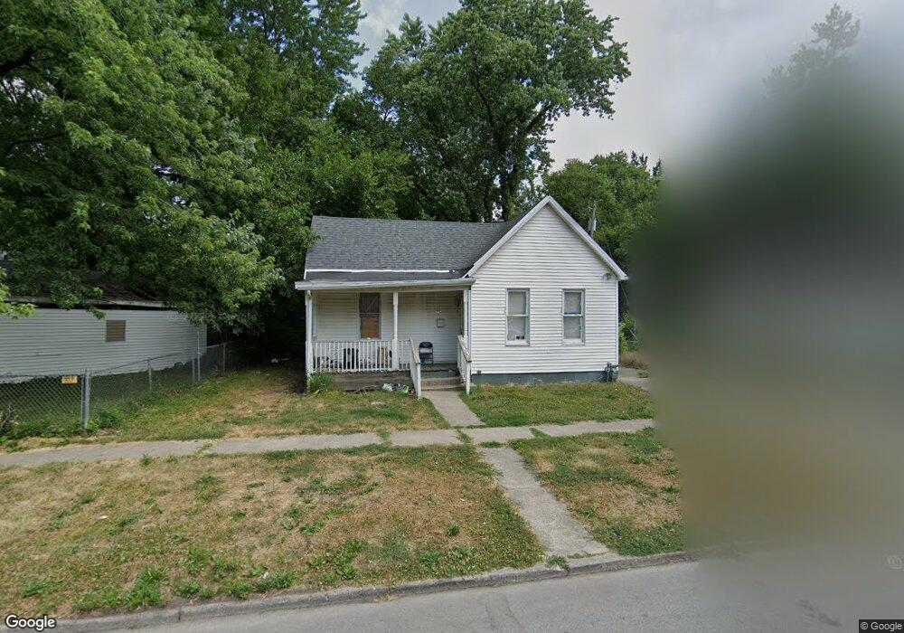
1214 S 12th St Springfield, IL 62703
Springfield Far East District NeighborhoodEstimated Value: $48,000 - $58,000
2
Beds
1
Bath
824
Sq Ft
$62/Sq Ft
Est. Value
About This Home
This home is located at 1214 S 12th St, Springfield, IL 62703 and is currently estimated at $51,297, approximately $62 per square foot. 1214 S 12th St is a home located in Sangamon County with nearby schools including Black Hawk Elementary School, U.S. Grant Middle School, and Springfield High School.
Ownership History
Date
Name
Owned For
Owner Type
Purchase Details
Closed on
Aug 2, 2018
Sold by
John Harris
Bought by
Harris Nelson
Current Estimated Value
Purchase Details
Closed on
May 30, 2014
Purchase Details
Closed on
Nov 2, 2011
Purchase Details
Closed on
Oct 7, 2011
Purchase Details
Closed on
Mar 17, 2004
Purchase Details
Closed on
Jan 6, 2004
Purchase Details
Closed on
Oct 23, 2003
Purchase Details
Closed on
Jun 20, 2003
Purchase Details
Closed on
Jun 17, 2003
Purchase Details
Closed on
Apr 30, 2001
Purchase Details
Closed on
Feb 10, 2001
Create a Home Valuation Report for This Property
The Home Valuation Report is an in-depth analysis detailing your home's value as well as a comparison with similar homes in the area
Home Values in the Area
Average Home Value in this Area
Purchase History
| Date | Buyer | Sale Price | Title Company |
|---|---|---|---|
| Harris Nelson | -- | -- | |
| -- | -- | -- | |
| -- | -- | -- | |
| -- | -- | -- | |
| -- | $3,500 | -- | |
| -- | -- | -- | |
| -- | -- | -- | |
| -- | -- | -- | |
| -- | -- | -- | |
| -- | $41,000 | -- | |
| -- | $33,000 | -- |
Source: Public Records
Tax History
| Year | Tax Paid | Tax Assessment Tax Assessment Total Assessment is a certain percentage of the fair market value that is determined by local assessors to be the total taxable value of land and additions on the property. | Land | Improvement |
|---|---|---|---|---|
| 2024 | $467 | $5,556 | $1,689 | $3,867 |
| 2023 | $449 | $5,075 | $1,543 | $3,532 |
| 2022 | $431 | $4,814 | $1,464 | $3,350 |
| 2021 | $417 | $4,634 | $1,409 | $3,225 |
| 2020 | $409 | $4,641 | $1,411 | $3,230 |
| 2019 | $401 | $4,625 | $1,406 | $3,219 |
| 2018 | $424 | $5,022 | $1,398 | $3,624 |
| 2017 | $416 | $4,957 | $1,380 | $3,577 |
| 2016 | $293 | $3,514 | $1,360 | $2,154 |
| 2015 | $295 | $3,530 | $1,345 | $2,185 |
| 2014 | $291 | $3,507 | $1,336 | $2,171 |
| 2013 | $284 | $3,507 | $1,336 | $2,171 |
Source: Public Records
Map
Nearby Homes
- 2041 E Cedar St
- 1430 S 8th St
- 1124 E Laurel St
- 725 E Spruce St
- 718 S 7th St Unit 1003
- 718 S 7th St Unit 405
- 718 S 7th St Unit 904
- 1025 S 5th St
- 1405 E Edwards St
- 810 E Edwards St
- 1942 S 11th St
- 1529 E Edwards St
- 1909 E Cedar St
- 1838 S 19th St
- 2160 S 14th St
- 2205 S 11th St
- 2233 S 12th St
- 1622 E Cornell Ave
- 8 S Old State Capitol Plaza Unit A
- 2176 S Martin Luther King Junior Dr
- 1216 S 12th St
- 1202 E Stuart St
- 1208 E Stuart St
- 1226 S 12th St
- 1212 E Stuart St
- 1209 S 12th St
- 1213 S 12th St
- 1203 S 12th St
- 1219 S 12th St
- 1214 E Stuart St
- 1201 S 12th St
- 1205 E Brown St
- 1209 E Brown St
- 1131 S 12th St
- 1211 E Brown St
- 1216 E Stuart St
- 1223 S 12th St
- 1217 E Stuart St
- 1227 S 12th St
- 1129 S 12th St
Your Personal Tour Guide
Ask me questions while you tour the home.