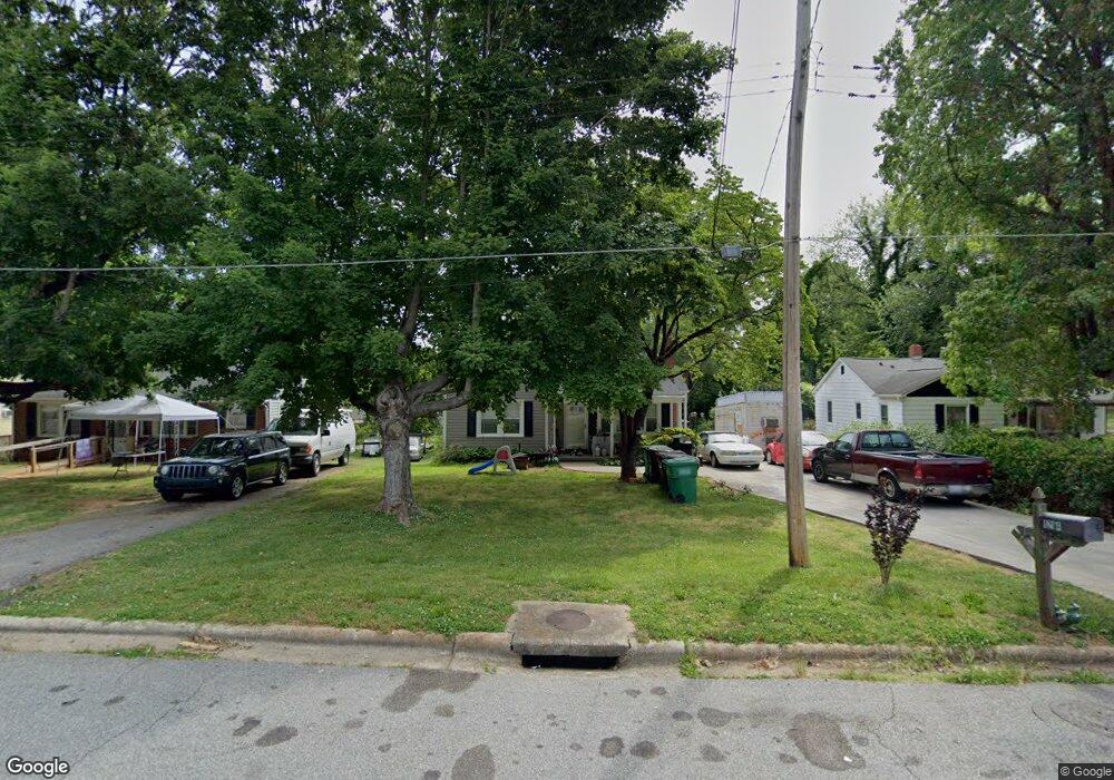
1214 Terrell Dr High Point, NC 27262
Greater High Point NeighborhoodEstimated Value: $137,000 - $151,239
2
Beds
1
Bath
926
Sq Ft
$153/Sq Ft
Est. Value
About This Home
This home is located at 1214 Terrell Dr, High Point, NC 27262 and is currently estimated at $141,560, approximately $152 per square foot. 1214 Terrell Dr is a home located in Guilford County with nearby schools including Kirkman Park Elementary School, Penn-Griffin School for the Arts, and T.W. Andrews High School.
Ownership History
Date
Name
Owned For
Owner Type
Purchase Details
Closed on
Jun 25, 2003
Sold by
Branch Banking & Trust Co
Bought by
Spivey Melvin W and Spivey Patricia C
Current Estimated Value
Home Financials for this Owner
Home Financials are based on the most recent Mortgage that was taken out on this home.
Original Mortgage
$59,073
Outstanding Balance
$25,219
Interest Rate
5.43%
Mortgage Type
FHA
Estimated Equity
$116,341
Purchase Details
Closed on
Apr 9, 2002
Sold by
Whitfield Pervy and Whitfield Tonya D
Bought by
Branch Banking & Trust Company
Create a Home Valuation Report for This Property
The Home Valuation Report is an in-depth analysis detailing your home's value as well as a comparison with similar homes in the area
Home Values in the Area
Average Home Value in this Area
Purchase History
| Date | Buyer | Sale Price | Title Company |
|---|---|---|---|
| Spivey Melvin W | $60,000 | -- | |
| Branch Banking & Trust Company | $46,272 | -- |
Source: Public Records
Mortgage History
| Date | Status | Borrower | Loan Amount |
|---|---|---|---|
| Open | Spivey Melvin W | $59,073 |
Source: Public Records
Tax History
| Year | Tax Paid | Tax Assessment Tax Assessment Total Assessment is a certain percentage of the fair market value that is determined by local assessors to be the total taxable value of land and additions on the property. | Land | Improvement |
|---|---|---|---|---|
| 2025 | $999 | $72,500 | $22,000 | $50,500 |
| 2024 | $999 | $72,500 | $22,000 | $50,500 |
| 2023 | $999 | $72,500 | $22,000 | $50,500 |
| 2022 | $977 | $72,500 | $22,000 | $50,500 |
| 2021 | $681 | $49,400 | $10,000 | $39,400 |
| 2020 | $681 | $49,400 | $10,000 | $39,400 |
| 2019 | $681 | $49,400 | $0 | $0 |
| 2018 | $677 | $49,400 | $0 | $0 |
| 2017 | $677 | $49,400 | $0 | $0 |
| 2016 | $711 | $50,700 | $0 | $0 |
| 2015 | $715 | $50,700 | $0 | $0 |
| 2014 | $727 | $50,700 | $0 | $0 |
Source: Public Records
Map
Nearby Homes
- 1519 Mcguinn Dr
- 1604 E Lexington Ave
- 1445 Bailey Cir
- 1120 Carolina St
- 828 Circle Dr
- 1509 & 1511 Wiltshire St
- 1406 Chatham Dr
- 1012 Meadowbrook Blvd
- 2507 Suffolk Ave
- 1717 Carolina St
- 1719 Carolina St
- 1402 Darden St
- 1108 Dartmouth Ave
- 910 E Dayton Ave
- 1526 Ann Arbor Ct
- 1308 Boundary Ave
- 1110 Forrest St
- 1108 Forrest St
- 1818 Guyer St Unit C
- 504 Ellwood Dr
- 1212 Terrell Dr
- 1216 Terrell Dr
- 1210 Terrell Dr
- 1218 Terrell Dr
- 1513 Mcguinn Dr
- 1208 Terrell Dr
- 1220 Terrell Dr
- 1215 Terrell Dr
- 1217 Terrell Dr
- 1213 Terrell Dr
- 1509 Mcguinn Dr
- 1219 Terrell Dr
- 1211 Terrell Dr
- 1206 Terrell Dr
- 1221 Terrell Dr
- 1209 Terrell Dr
- 1505 Mcguinn Dr
- 1800 E Lexington Ave
- 1802 E Lexington Ave
- 1204 Terrell Dr
Your Personal Tour Guide
Ask me questions while you tour the home.