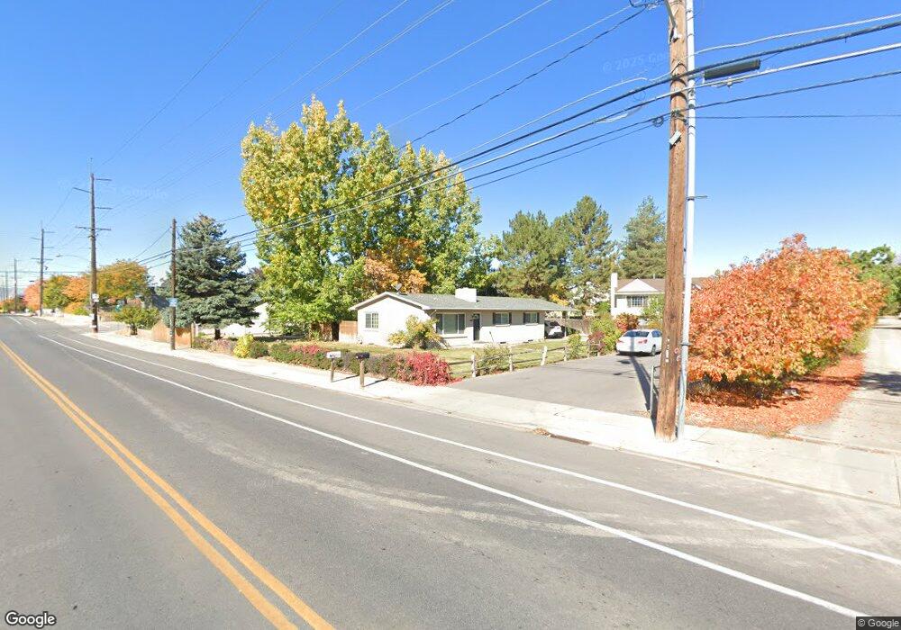
1214 W 1460 N Provo, UT 84604
Grandview North NeighborhoodEstimated Value: $450,136 - $559,000
4
Beds
2
Baths
2,400
Sq Ft
$208/Sq Ft
Est. Value
About This Home
This home is located at 1214 W 1460 N, Provo, UT 84604 and is currently estimated at $500,034, approximately $208 per square foot. 1214 W 1460 N is a home located in Utah County with nearby schools including Westridge Elementary School, Dixon Middle School, and Provo High School.
Ownership History
Date
Name
Owned For
Owner Type
Purchase Details
Closed on
Nov 5, 2015
Sold by
Dorff David L and Dorff Anne H
Bought by
Andlin Robert and Andlin Paula
Current Estimated Value
Purchase Details
Closed on
Jul 25, 2007
Sold by
Condie Shaun and Condie Callie
Bought by
Dorff David L and Dorff Anne H
Purchase Details
Closed on
Apr 9, 2003
Sold by
Sumsion Matthew B and Sumsion Tawni
Bought by
Sumsion Matthew B and Sumsion Tawni M
Home Financials for this Owner
Home Financials are based on the most recent Mortgage that was taken out on this home.
Original Mortgage
$122,600
Interest Rate
5.73%
Mortgage Type
Purchase Money Mortgage
Purchase Details
Closed on
Nov 26, 1997
Sold by
Royle Homer F
Bought by
Sumsion Matthew B and Sumsion Tawni
Home Financials for this Owner
Home Financials are based on the most recent Mortgage that was taken out on this home.
Original Mortgage
$100,000
Interest Rate
7.33%
Create a Home Valuation Report for This Property
The Home Valuation Report is an in-depth analysis detailing your home's value as well as a comparison with similar homes in the area
Home Values in the Area
Average Home Value in this Area
Purchase History
| Date | Buyer | Sale Price | Title Company |
|---|---|---|---|
| Andlin Robert | -- | Provo Land Title Co | |
| Dorff David L | -- | First American Orem | |
| Sumsion Matthew B | -- | Inwest Title Services Inc | |
| Sumsion Matthew B | -- | -- |
Source: Public Records
Mortgage History
| Date | Status | Borrower | Loan Amount |
|---|---|---|---|
| Previous Owner | Sumsion Matthew B | $122,600 | |
| Previous Owner | Sumsion Matthew B | $100,000 |
Source: Public Records
Tax History Compared to Growth
Tax History
| Year | Tax Paid | Tax Assessment Tax Assessment Total Assessment is a certain percentage of the fair market value that is determined by local assessors to be the total taxable value of land and additions on the property. | Land | Improvement |
|---|---|---|---|---|
| 2025 | $2,186 | $233,530 | $183,200 | $241,400 |
| 2024 | $2,186 | $215,215 | $0 | $0 |
| 2023 | $2,244 | $217,745 | $0 | $0 |
| 2022 | $2,511 | $245,685 | $0 | $0 |
| 2021 | $1,838 | $313,600 | $103,300 | $210,300 |
| 2020 | $1,771 | $283,400 | $93,900 | $189,500 |
| 2019 | $1,575 | $262,000 | $93,900 | $168,100 |
| 2018 | $1,374 | $231,900 | $85,700 | $146,200 |
| 2017 | $1,300 | $120,505 | $0 | $0 |
| 2016 | $1,294 | $111,815 | $0 | $0 |
| 2015 | $1,233 | $107,690 | $0 | $0 |
| 2014 | $1,166 | $106,205 | $0 | $0 |
Source: Public Records
Map
Nearby Homes
- 1525 N 1250 W
- 1188 W 1380 N
- 1430 N 1160 W
- 1375 W 1460 N
- 1250 Jordan Ave
- 1471 W 1460 N
- 920 W Columbia Ln
- 1633 Woodland Dr
- 1685 Hickory Ln
- 1763 Willowbrook Dr Unit 4D1
- 1661 Willowbrook Dr
- 1149 N 850 W
- 1254 N 800 W
- 493 E 2000 S
- 1516 W 1970 N
- 1009 W 2000 N
- 1620 W 1000 N
- 1559 N Riverside Ave Unit 4
- 1927 Columbia Ln
- 1503 N 1980 W