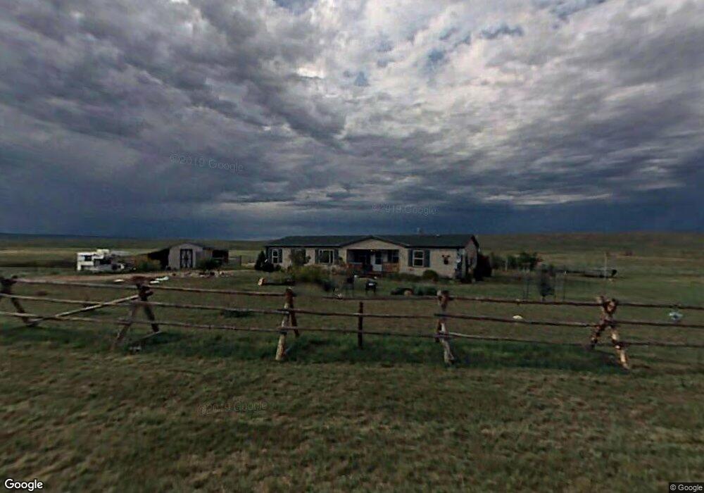
1214 Water Line Rd Cheyenne, WY 82009
Estimated Value: $536,967 - $584,000
5
Beds
3
Baths
2,683
Sq Ft
$206/Sq Ft
Est. Value
About This Home
This home is located at 1214 Water Line Rd, Cheyenne, WY 82009 and is currently estimated at $553,989, approximately $206 per square foot. 1214 Water Line Rd is a home located in Laramie County with nearby schools including Gilchrist Elementary School, McCormick Junior High School, and Central High School.
Ownership History
Date
Name
Owned For
Owner Type
Purchase Details
Closed on
Oct 13, 2020
Sold by
Myers Lance and Myers Donna
Bought by
Carson Jeremy and Bullingbon Ashlee
Current Estimated Value
Home Financials for this Owner
Home Financials are based on the most recent Mortgage that was taken out on this home.
Original Mortgage
$324,000
Outstanding Balance
$288,181
Interest Rate
2.9%
Mortgage Type
New Conventional
Estimated Equity
$265,808
Create a Home Valuation Report for This Property
The Home Valuation Report is an in-depth analysis detailing your home's value as well as a comparison with similar homes in the area
Home Values in the Area
Average Home Value in this Area
Purchase History
| Date | Buyer | Sale Price | Title Company |
|---|---|---|---|
| Carson Jeremy | -- | Laramie County Abstract & Ti |
Source: Public Records
Mortgage History
| Date | Status | Borrower | Loan Amount |
|---|---|---|---|
| Open | Carson Jeremy | $324,000 |
Source: Public Records
Tax History Compared to Growth
Tax History
| Year | Tax Paid | Tax Assessment Tax Assessment Total Assessment is a certain percentage of the fair market value that is determined by local assessors to be the total taxable value of land and additions on the property. | Land | Improvement |
|---|---|---|---|---|
| 2025 | $2,879 | $33,281 | $4,788 | $28,493 |
| 2024 | $2,879 | $42,842 | $6,384 | $36,458 |
| 2023 | $2,722 | $41,428 | $6,384 | $35,044 |
| 2022 | $2,254 | $33,558 | $3,739 | $29,819 |
| 2021 | $2,053 | $30,480 | $3,349 | $27,131 |
| 2020 | $1,842 | $27,429 | $3,349 | $24,080 |
| 2019 | $1,756 | $26,128 | $3,349 | $22,779 |
| 2018 | $1,593 | $23,945 | $2,989 | $20,956 |
| 2017 | $1,763 | $26,240 | $2,989 | $23,251 |
| 2016 | $1,752 | $26,074 | $2,902 | $23,172 |
| 2015 | $1,688 | $25,108 | $2,902 | $22,206 |
| 2014 | $1,689 | $24,956 | $2,902 | $22,054 |
Source: Public Records
Map
Nearby Homes
- 1102 Dusty Rd
- 1100 Brundage Rd
- Lot 99 Tennessee Rd
- 1113 Indiana Rd
- 985 Range Line Rd
- 0 Range Line Rd
- Tract 291 Boundary Rd
- TBD Boundary Rd
- 1207 Road 113
- 1092 Bade Rd
- Tract 295 S Carolina Rd
- Tract 300 S Carolina Rd
- TBD Bade Rd
- Lot 346 Carribean Rd
- Lot 340 Carribean Rd
- Lot 366 Carribean Rd
- 1015 Bade Rd
- Tract 234 Samoa Rd
- Tract 334 Bering Rd
- 1526 Fox Chase Rd
- TBD Waterline Rd
- 1218 Vermont Rd
- 1234 Vermont Rd
- 1202 Vermont Rd
- 1221 Vermont Rd
- 1233 Vermont Rd
- 1211 Vermont Rd
- 1250 Vermont Rd
- 1148 Range Line Rd
- 1237 Vermont Rd
- 1127 Range Line Rd
- 1190 Dusty Rd
- 1192 Vermont Rd
- 1191 Vermont Rd
- 1242 Brundage Rd
- 1226 Brundage Rd
- 1245 Vermont Rd
- 1214 Brundage Rd
- 1251 Vermont Rd
- 1234 Brundage Rd