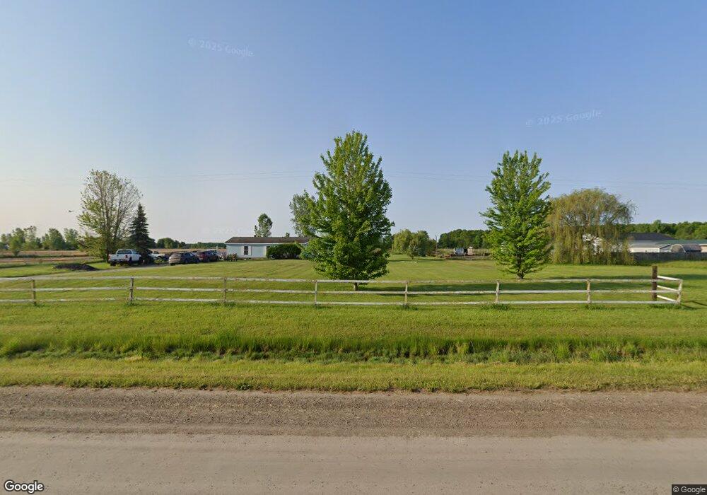
12143 Frances Rd Flushing, MI 48433
Estimated Value: $177,000 - $219,000
--
Bed
--
Bath
1,976
Sq Ft
$101/Sq Ft
Est. Value
About This Home
This home is located at 12143 Frances Rd, Flushing, MI 48433 and is currently estimated at $199,667, approximately $101 per square foot. 12143 Frances Rd is a home located in Genesee County with nearby schools including Elms Elementary School, Flushing Middle School, and Flushing High School.
Ownership History
Date
Name
Owned For
Owner Type
Purchase Details
Closed on
Mar 19, 2015
Sold by
Mills Robert D and Mills Barbara L
Bought by
Draheim Richard and Draheim Samantha
Current Estimated Value
Purchase Details
Closed on
Feb 12, 2004
Sold by
Mills Robert D and Mills Barbara L
Bought by
Draheim Richard and Draheim Samatha
Home Financials for this Owner
Home Financials are based on the most recent Mortgage that was taken out on this home.
Original Mortgage
$39,000
Interest Rate
8%
Mortgage Type
Seller Take Back
Create a Home Valuation Report for This Property
The Home Valuation Report is an in-depth analysis detailing your home's value as well as a comparison with similar homes in the area
Home Values in the Area
Average Home Value in this Area
Purchase History
| Date | Buyer | Sale Price | Title Company |
|---|---|---|---|
| Draheim Richard | $45,000 | None Available | |
| Draheim Richard | $45,000 | First American Title |
Source: Public Records
Mortgage History
| Date | Status | Borrower | Loan Amount |
|---|---|---|---|
| Previous Owner | Draheim Richard | $39,000 |
Source: Public Records
Tax History Compared to Growth
Tax History
| Year | Tax Paid | Tax Assessment Tax Assessment Total Assessment is a certain percentage of the fair market value that is determined by local assessors to be the total taxable value of land and additions on the property. | Land | Improvement |
|---|---|---|---|---|
| 2025 | $2,245 | $98,100 | $0 | $0 |
| 2024 | $1,164 | $93,700 | $0 | $0 |
| 2023 | $1,111 | $85,100 | $0 | $0 |
| 2022 | $2,021 | $76,600 | $0 | $0 |
| 2021 | $1,981 | $72,500 | $0 | $0 |
| 2020 | $1,033 | $68,800 | $0 | $0 |
| 2019 | $1,023 | $63,200 | $0 | $0 |
| 2018 | $1,819 | $53,300 | $0 | $0 |
| 2017 | $905 | $53,300 | $0 | $0 |
| 2016 | $1,670 | $51,500 | $0 | $0 |
| 2015 | $1,524 | $50,900 | $0 | $0 |
| 2014 | $891 | $48,800 | $0 | $0 |
| 2012 | -- | $46,200 | $46,200 | $0 |
Source: Public Records
Map
Nearby Homes
- 8425 Duffield Rd
- 8498 Duffield Rd
- 8506 Duffield Rd
- 9157 Duffield Rd
- 9197 Sheridan Rd
- 8073 Nichols Rd
- 8366 Byron Rd
- 12374 Stanley Rd
- 11186 W Stanley Rd
- 10195 Dodge Rd
- 10187 Dodge Rd
- 10028 Mcafee Rd
- 10149 Seymour Rd
- 10456 Nichols Rd
- 000 W Dodge Rd
- 9366 Mcafee Rd
- 11348 Duffield Rd
- 7493 S Saginaw St
- 9464 Beech St
- 7200 N Seymour Rd
- 12195 Frances Rd
- 12117 Frances Rd
- 12215 Frances Rd
- 12182 Frances Rd
- 12241 Frances Rd
- 8465 Duffield Rd
- 8489 Duffield Rd
- 8437 Duffield Rd
- 12112 Frances Rd
- 12054 Frances Rd
- 12054 Frances Rd
- 12054 Frances Rd
- 10210 Duffield Rd
- 8530 Duffield Rd
- 9055 Duffield Rd
- 8538 Duffield Rd
- 11518 W Frances Rd
- 11518 Frances Rd
- 12308 Frances Rd
- 8155 Duffield Rd