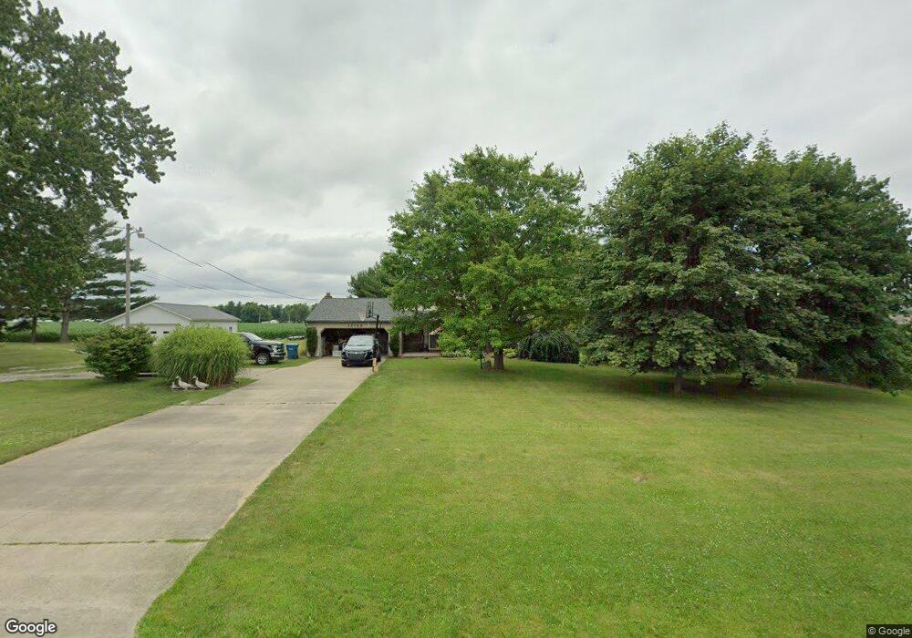
12148 State Route 301 Lagrange, OH 44050
Estimated Value: $304,000 - $404,000
4
Beds
3
Baths
1,846
Sq Ft
$189/Sq Ft
Est. Value
About This Home
This home is located at 12148 State Route 301, Lagrange, OH 44050 and is currently estimated at $348,107, approximately $188 per square foot. 12148 State Route 301 is a home located in Lorain County with nearby schools including Keystone Elementary School, Keystone Middle School, and Keystone High School.
Ownership History
Date
Name
Owned For
Owner Type
Purchase Details
Closed on
Apr 27, 2017
Sold by
Feakins Patricia Ann
Bought by
Crum Jonathan M and Crum Kathryn
Current Estimated Value
Home Financials for this Owner
Home Financials are based on the most recent Mortgage that was taken out on this home.
Original Mortgage
$192,042
Outstanding Balance
$160,575
Interest Rate
4.3%
Mortgage Type
VA
Estimated Equity
$187,532
Purchase Details
Closed on
Nov 22, 2011
Sold by
Feakins Randy Glenn
Bought by
Feakins Patricia Ann
Create a Home Valuation Report for This Property
The Home Valuation Report is an in-depth analysis detailing your home's value as well as a comparison with similar homes in the area
Home Values in the Area
Average Home Value in this Area
Purchase History
| Date | Buyer | Sale Price | Title Company |
|---|---|---|---|
| Crum Jonathan M | $188,000 | Fidelity National Title | |
| Feakins Patricia Ann | -- | Attorney |
Source: Public Records
Mortgage History
| Date | Status | Borrower | Loan Amount |
|---|---|---|---|
| Open | Crum Jonathan M | $192,042 |
Source: Public Records
Tax History Compared to Growth
Tax History
| Year | Tax Paid | Tax Assessment Tax Assessment Total Assessment is a certain percentage of the fair market value that is determined by local assessors to be the total taxable value of land and additions on the property. | Land | Improvement |
|---|---|---|---|---|
| 2024 | $3,331 | $82,355 | $12,208 | $70,147 |
| 2023 | $3,238 | $66,073 | $11,862 | $54,212 |
| 2022 | $3,213 | $66,073 | $11,862 | $54,212 |
| 2021 | $3,213 | $66,073 | $11,862 | $54,212 |
| 2020 | $3,296 | $61,410 | $11,030 | $50,380 |
| 2019 | $3,274 | $61,410 | $11,030 | $50,380 |
| 2018 | $3,288 | $61,410 | $11,030 | $50,380 |
| 2017 | $3,348 | $58,460 | $11,030 | $47,430 |
| 2016 | $3,324 | $58,460 | $11,030 | $47,430 |
| 2015 | $3,268 | $58,460 | $11,030 | $47,430 |
| 2014 | $2,846 | $58,460 | $11,030 | $47,430 |
| 2013 | $2,716 | $58,460 | $11,030 | $47,430 |
Source: Public Records
Map
Nearby Homes
- 11861 Indian Hollow Rd
- 10556 Lagrange Rd
- 114 River Run Dr
- 150 River Run Dr
- 158 River Run Dr
- 40000 Myrtle Ct
- 221 River Run Dr
- 238 Leather Leaf Dr
- 414 Pheasant Run
- 11632 Robson Rd
- 10832 Indian Hollow Rd
- 40163 Banks Rd
- 437 Pheasant Run
- 417 Pheasant Run
- 413 Pheasant Run
- 409 Pheasant Run
- 229 Harvest Way
- 438 River Run Dr
- 104 Willow Way
- 108 Willow Way
- 12150 Lagrange Rd
- 12150 State Route 301
- 12095 State Route 301
- 12000 Diagonal Rd
- 12110 Diagonal Rd
- 0 St Rt 301 & 20 Unit 3032486
- 11921 Lagrange Rd
- 12095 Lagrange Rd
- 12150 Diagonal Rd
- 41049 Butternut Park Ct
- 41053 Butternut Park Ct
- 40955 Butternut Ridge Rd
- 12200 Diagonal Rd
- 12217 Diagonal Rd
- 12214 Diagonal Rd
- 12234 Diagonal Rd
- 12250 Diagonal Rd
- 41056 Butternut Park Ct
- 41058 Butternut Park Ct
- 41054 Butternut Park Ct