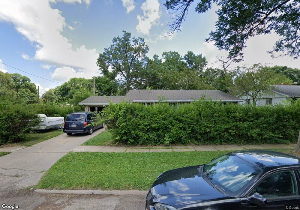
1215 Cheyenne Rd NW Cedar Rapids, IA 52405
Estimated Value: $197,000 - $237,000
3
Beds
2
Baths
1,841
Sq Ft
$117/Sq Ft
Est. Value
About This Home
This home is located at 1215 Cheyenne Rd NW, Cedar Rapids, IA 52405 and is currently estimated at $214,674, approximately $116 per square foot. 1215 Cheyenne Rd NW is a home located in Linn County with nearby schools including Junction City Elementary School, Harrison Elementary School, and Kentucky Tech - Ashland Reg Tech Center.
Ownership History
Date
Name
Owned For
Owner Type
Purchase Details
Closed on
Oct 15, 2010
Sold by
Us Bank National Association
Bought by
Bunn Mary K and Bunn Dennis R
Current Estimated Value
Purchase Details
Closed on
Feb 17, 2010
Sold by
Manseau Thomas J and Manseau Kimberly L
Bought by
Us Bank National Association
Create a Home Valuation Report for This Property
The Home Valuation Report is an in-depth analysis detailing your home's value as well as a comparison with similar homes in the area
Home Values in the Area
Average Home Value in this Area
Purchase History
| Date | Buyer | Sale Price | Title Company |
|---|---|---|---|
| Bunn Mary K | $77,500 | None Available | |
| Us Bank National Association | $14,997 | None Available |
Source: Public Records
Tax History Compared to Growth
Tax History
| Year | Tax Paid | Tax Assessment Tax Assessment Total Assessment is a certain percentage of the fair market value that is determined by local assessors to be the total taxable value of land and additions on the property. | Land | Improvement |
|---|---|---|---|---|
| 2025 | $3,352 | $211,800 | $36,500 | $175,300 |
| 2024 | $3,366 | $189,400 | $36,500 | $152,900 |
| 2023 | $3,366 | $189,400 | $36,500 | $152,900 |
| 2022 | $2,916 | $159,600 | $36,500 | $123,100 |
| 2021 | $3,188 | $140,800 | $31,000 | $109,800 |
| 2020 | $3,188 | $144,500 | $31,000 | $113,500 |
| 2019 | $2,564 | $119,000 | $29,200 | $89,800 |
| 2018 | $2,494 | $119,000 | $29,200 | $89,800 |
| 2017 | $2,542 | $116,700 | $29,200 | $87,500 |
| 2016 | $2,350 | $110,600 | $29,200 | $81,400 |
| 2015 | $2,542 | $119,431 | $29,161 | $90,270 |
| 2014 | $2,542 | $119,431 | $29,161 | $90,270 |
| 2013 | $2,486 | $119,431 | $29,161 | $90,270 |
Source: Public Records
Map
Nearby Homes
- 1201 Cheyenne Rd NW
- 1218 Sioux Dr NW
- 1212 Sioux Dr NW
- 1125 Cheyenne Rd NW
- 1710 Apache Trail NW
- 1206 Sioux Dr NW
- 1212 Cheyenne Rd NW
- 1716 Apache Trail NW
- 1206 Cheyenne Rd NW
- 1200 Cheyenne Rd NW
- 1706 Apache Trail NW
- 1200 Sioux Dr NW
- 1731 Apache Trail NW
- 1124 Cheyenne Rd NW
- 1722 Apache Trail NW
- 1700 Apache Trail NW
- 1113 Cheyenne Rd NW
- 1219 Sioux Dr NW
- 1118 Cheyenne Rd NW
- 1120 Sioux Dr NW