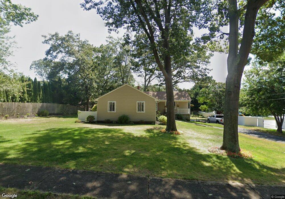
1215 Lenape Trail Manasquan, NJ 08736
Estimated Value: $820,000 - $929,000
3
Beds
2
Baths
1,288
Sq Ft
$662/Sq Ft
Est. Value
About This Home
This home is located at 1215 Lenape Trail, Manasquan, NJ 08736 and is currently estimated at $853,117, approximately $662 per square foot. 1215 Lenape Trail is a home located in Monmouth County with nearby schools including Wall High School and The Brookside School.
Ownership History
Date
Name
Owned For
Owner Type
Purchase Details
Closed on
Aug 9, 2004
Sold by
Tully Robert
Bought by
Eagan Dennis
Current Estimated Value
Home Financials for this Owner
Home Financials are based on the most recent Mortgage that was taken out on this home.
Original Mortgage
$200,000
Outstanding Balance
$99,375
Interest Rate
6.03%
Mortgage Type
Purchase Money Mortgage
Estimated Equity
$753,742
Create a Home Valuation Report for This Property
The Home Valuation Report is an in-depth analysis detailing your home's value as well as a comparison with similar homes in the area
Home Values in the Area
Average Home Value in this Area
Purchase History
| Date | Buyer | Sale Price | Title Company |
|---|---|---|---|
| Eagan Dennis | $475,000 | -- |
Source: Public Records
Mortgage History
| Date | Status | Borrower | Loan Amount |
|---|---|---|---|
| Open | Eagan Dennis | $200,000 |
Source: Public Records
Tax History Compared to Growth
Tax History
| Year | Tax Paid | Tax Assessment Tax Assessment Total Assessment is a certain percentage of the fair market value that is determined by local assessors to be the total taxable value of land and additions on the property. | Land | Improvement |
|---|---|---|---|---|
| 2025 | $8,716 | $413,100 | $267,800 | $145,300 |
| 2024 | $8,456 | $413,100 | $267,800 | $145,300 |
| 2023 | $8,456 | $413,100 | $267,800 | $145,300 |
| 2022 | $8,250 | $413,100 | $267,800 | $145,300 |
| 2021 | $8,250 | $413,100 | $267,800 | $145,300 |
| 2020 | $8,150 | $413,100 | $267,800 | $145,300 |
| 2019 | $7,968 | $408,800 | $267,800 | $141,000 |
| 2018 | $7,898 | $408,800 | $267,800 | $141,000 |
| 2017 | $7,743 | $408,800 | $267,800 | $141,000 |
| 2016 | $7,579 | $408,800 | $267,800 | $141,000 |
| 2015 | $7,664 | $259,800 | $152,900 | $106,900 |
| 2014 | $7,380 | $254,500 | $149,000 | $105,500 |
Source: Public Records
Map
Nearby Homes
- 1209 Lenape Trail
- 1307 W Union Ln Unit A4
- 1207 Bayberry Rd
- 1210 Bayberry Rd
- 142 Oval Rd
- 5 Hickory Ct Unit B
- 203 Lenape Trail
- Kensington Plan at The Monmouth - The Villas 55+
- 308 South St
- 14 Lebanon Dr
- 2573 Curriers Place
- 41 Poplar Ct Unit C
- 816 Rathjen Rd
- 642 Rankin Rd
- 1422 Lakewood Rd
- 2578 Collier Rd
- 23 Mulberry Ct Unit D
- 29 Mulberry Ct Unit D
- 31 Mulberry Ct Unit A
- 846 William Dr
- 1301 Lenape Trail
- 2583 Crestview Rd
- 2587 Crestview Rd
- 2591 Crestview Rd
- 1222 W Union Ln
- 2582 Summit Rd
- 1300 W Union Ln
- 1303 Lenape Trail
- 1300 Lenape Trail
- 2581 Crestview Rd
- 1220 W Union Ln
- 1213 Lenape Trail
- 2588 Crestview Rd
- 2581 Summit Rd
- 1302 Lenape Trail
- 1302 W Union Ln
- 2579 Crestview Rd
- 1305 Lenape Trail
- 2576 Summit Rd
- 1211 Lenape Trail