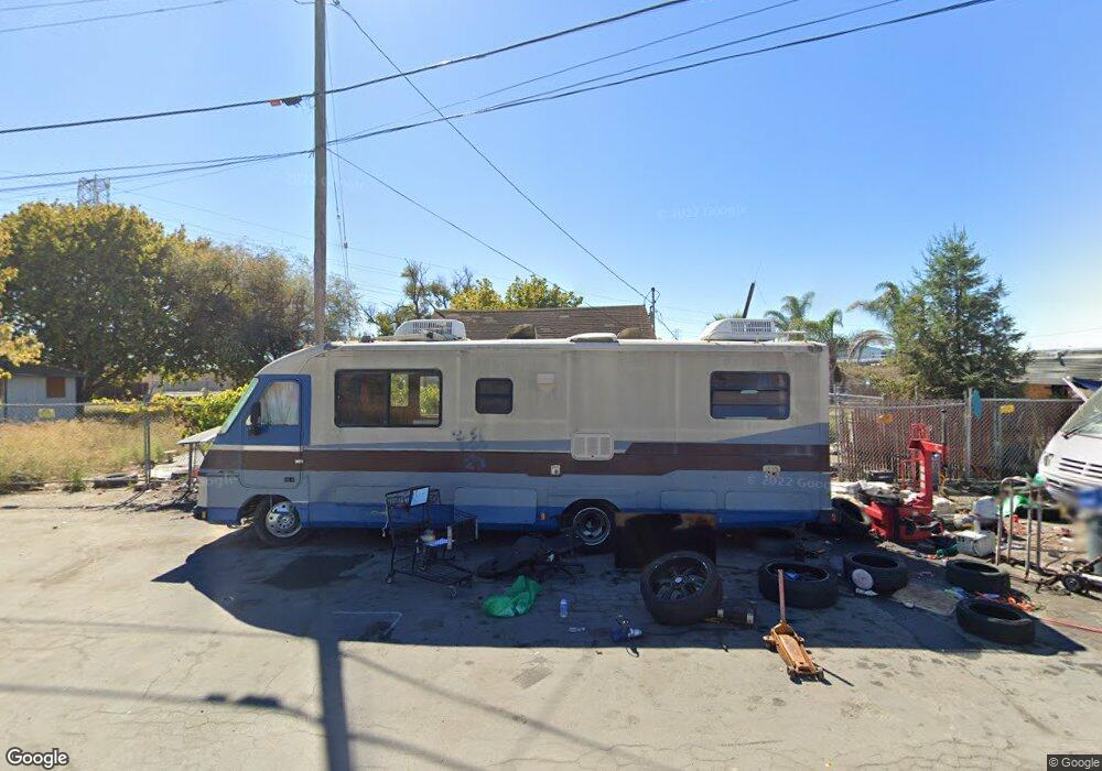
1215 Moffat St San Jose, CA 95002
Estimated Value: $559,000 - $848,763
2
Beds
1
Bath
1
Sq Ft
$721,254/Sq Ft
Est. Value
About This Home
This home is located at 1215 Moffat St, San Jose, CA 95002 and is currently estimated at $721,254, approximately $721,254 per square foot. 1215 Moffat St is a home located in Santa Clara County with nearby schools including Don Callejon School, George Mayne Elementary School, and Adrian Wilcox High School.
Ownership History
Date
Name
Owned For
Owner Type
Purchase Details
Closed on
Jan 21, 2020
Sold by
Daniels Teresa Nora and Estate Of Norma B Perkins
Bought by
Terra Ventures Xchange Llc and Terra Development Partners Llc
Current Estimated Value
Purchase Details
Closed on
Jun 10, 2013
Sold by
Perkins Norma B and The Norma B Perkins Revocable
Bought by
Perkins Norma B
Purchase Details
Closed on
Dec 8, 2011
Sold by
Perkins Norma B
Bought by
The Norma B Perkins Revocable Family Liv
Purchase Details
Closed on
Jan 19, 1994
Sold by
Cody Robert and Cody Ken
Bought by
Perkins Robert H and Perkins Norma B
Create a Home Valuation Report for This Property
The Home Valuation Report is an in-depth analysis detailing your home's value as well as a comparison with similar homes in the area
Home Values in the Area
Average Home Value in this Area
Purchase History
| Date | Buyer | Sale Price | Title Company |
|---|---|---|---|
| Terra Ventures Xchange Llc | $930,000 | First Amer Ttl Ins Co Ncs | |
| Perkins Norma B | -- | None Available | |
| The Norma B Perkins Revocable Family Liv | -- | None Available | |
| Perkins Robert H | $50,000 | First American Title Guarant |
Source: Public Records
Tax History Compared to Growth
Tax History
| Year | Tax Paid | Tax Assessment Tax Assessment Total Assessment is a certain percentage of the fair market value that is determined by local assessors to be the total taxable value of land and additions on the property. | Land | Improvement |
|---|---|---|---|---|
| 2025 | $5,428 | $339,027 | $333,560 | $5,467 |
| 2024 | $5,428 | $332,380 | $327,020 | $5,360 |
| 2023 | $5,315 | $325,863 | $320,608 | $5,255 |
| 2022 | $5,242 | $319,474 | $314,322 | $5,152 |
| 2021 | $5,138 | $313,210 | $308,159 | $5,051 |
| 2020 | $2,182 | $77,681 | $69,922 | $7,759 |
| 2019 | $2,128 | $76,158 | $68,551 | $7,607 |
| 2018 | $2,026 | $74,665 | $67,207 | $7,458 |
| 2017 | $1,996 | $73,202 | $65,890 | $7,312 |
| 2016 | $2,000 | $71,768 | $64,599 | $7,169 |
| 2015 | $1,973 | $70,691 | $63,629 | $7,062 |
| 2014 | $1,527 | $69,307 | $62,383 | $6,924 |
Source: Public Records
Map
Nearby Homes
- 1280 Michigan Ave
- 2052 Gold St Unit 212
- 2052 Gold St Unit 34
- 1391 State St
- 4271 N First St Unit 124
- 1515 State St
- 425 Shorewood Ln
- 418 Pinefield Rd Unit 418
- 543 Southbay Dr
- 391 Southbay Dr Unit 391
- 4049 Rio Ct
- 4098 Biscotti Place Unit 199
- 2395 Avenida de Guadalupe
- 626 Hermitage St Unit 626
- 316 Los Encinos St
- 316 Los Encinos St Unit 316
- 1220 Tasman Dr Unit 128
- 1220 Tasman Dr Unit 124
- 1220 Tasman Dr Unit 7
- 1220 Tasman Dr
- 1231 Moffat St
- 1207 Moffat St
- 1251 Moffat St
- 1621 Gold St
- 1203 Mcginness Ave
- 1204 Grand Blvd
- 1209 Mcginness Ave
- 1210 Grand Blvd
- 1524 Liberty St
- 1215 Michigan Ave
- 1215 Mcginness Ave
- 1216 Grand Blvd
- 1113 Taylor St
- 5160 N 1st St
- 5160 N 1st St
- 1221 Mcginness Ave
- 1221 Michigan Ave
- 1222 Grand Blvd
- 5160 N First St
- 1160 Taylor St
