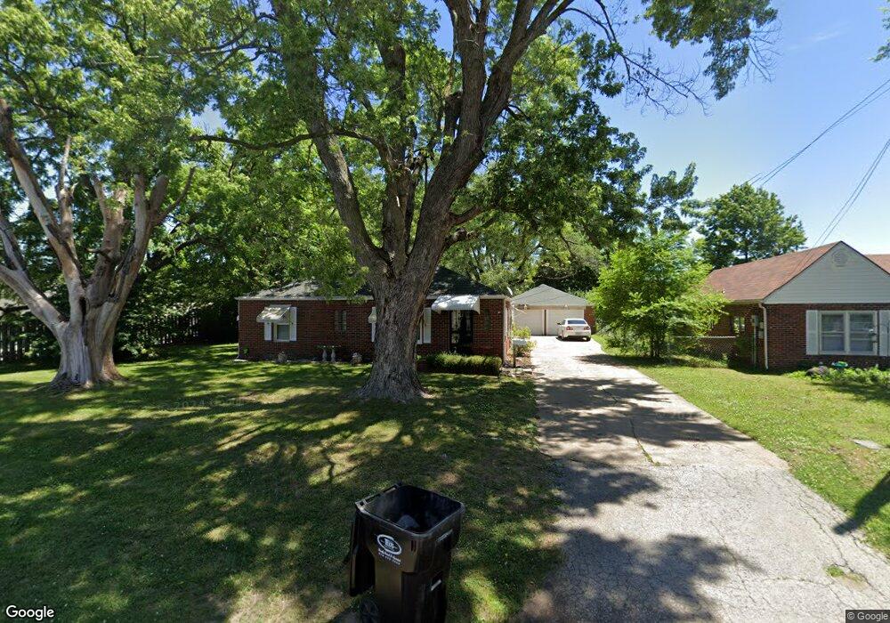
1215 Randall Rd Independence, MO 64055
Hanthorn NeighborhoodEstimated Value: $157,176 - $168,000
2
Beds
1
Bath
1,152
Sq Ft
$142/Sq Ft
Est. Value
About This Home
This home is located at 1215 Randall Rd, Independence, MO 64055 and is currently estimated at $163,544, approximately $141 per square foot. 1215 Randall Rd is a home located in Jackson County with nearby schools including Sycamore Hills Elementary School, Bridger Middle School, and Pioneer Ridge Middle School.
Ownership History
Date
Name
Owned For
Owner Type
Purchase Details
Closed on
Jun 10, 2002
Sold by
Batterton Gary Franklin and Batterton Lora Charlee
Bought by
Ward Trent E
Current Estimated Value
Home Financials for this Owner
Home Financials are based on the most recent Mortgage that was taken out on this home.
Original Mortgage
$66,500
Outstanding Balance
$36,541
Interest Rate
11.25%
Mortgage Type
Purchase Money Mortgage
Estimated Equity
$127,003
Create a Home Valuation Report for This Property
The Home Valuation Report is an in-depth analysis detailing your home's value as well as a comparison with similar homes in the area
Home Values in the Area
Average Home Value in this Area
Purchase History
| Date | Buyer | Sale Price | Title Company |
|---|---|---|---|
| Ward Trent E | -- | -- |
Source: Public Records
Mortgage History
| Date | Status | Borrower | Loan Amount |
|---|---|---|---|
| Open | Ward Trent E | $66,500 |
Source: Public Records
Tax History
| Year | Tax Paid | Tax Assessment Tax Assessment Total Assessment is a certain percentage of the fair market value that is determined by local assessors to be the total taxable value of land and additions on the property. | Land | Improvement |
|---|---|---|---|---|
| 2025 | $1,540 | $18,092 | $6,251 | $11,841 |
| 2024 | $1,505 | $22,226 | $5,132 | $17,094 |
| 2023 | $1,505 | $22,226 | $2,757 | $19,469 |
| 2022 | $1,011 | $13,680 | $5,026 | $8,654 |
| 2021 | $1,010 | $13,680 | $5,026 | $8,654 |
| 2020 | $1,044 | $13,733 | $5,026 | $8,707 |
| 2019 | $1,027 | $13,733 | $5,026 | $8,707 |
| 2018 | $984 | $12,562 | $3,456 | $9,106 |
| 2017 | $984 | $12,562 | $3,456 | $9,106 |
| 2016 | $976 | $12,342 | $3,523 | $8,819 |
Source: Public Records
Map
Nearby Homes
- 1040 E Stone St
- 912 E Stone St
- 1124 S Haden St
- 914 E South Ave
- 1120 S Leslie St
- 603 E Myrtle St
- 903 S Pope Ave
- 808 S Savage St
- 930 S Leslie St
- 1340 S Emery Ave
- 735 E Devon St
- 925 S Emery St
- 1339 S Hocker Ave
- 718 E Gudgell Ave
- 913 S Hocker Ave
- 421 E Angus St
- 715 S Savage St
- 1312 S Pearl St
- 801 S Crane St
- 921 E Manor Rd
- 1221 Randall Rd
- 1227 Randall Rd
- 1202 Randall Rd
- 1206 Randall Rd
- 1200 Randall Rd
- 1222 Randall Rd
- 1233 Randall Rd
- 1226 Randall Rd
- 1230 Randall Rd
- 1003 E 23rd St S
- 1301 Randall Rd
- 1302 Randall Rd
- 1234 Randall Rd
- 1307 Randall Rd
- 1304 Randall Rd
- 919 E 23rd St S
- 1209 S Crane St
- 1028 E 23rd St S
- 1313 Randall Rd
- 1032 E 23rd St S
Your Personal Tour Guide
Ask me questions while you tour the home.