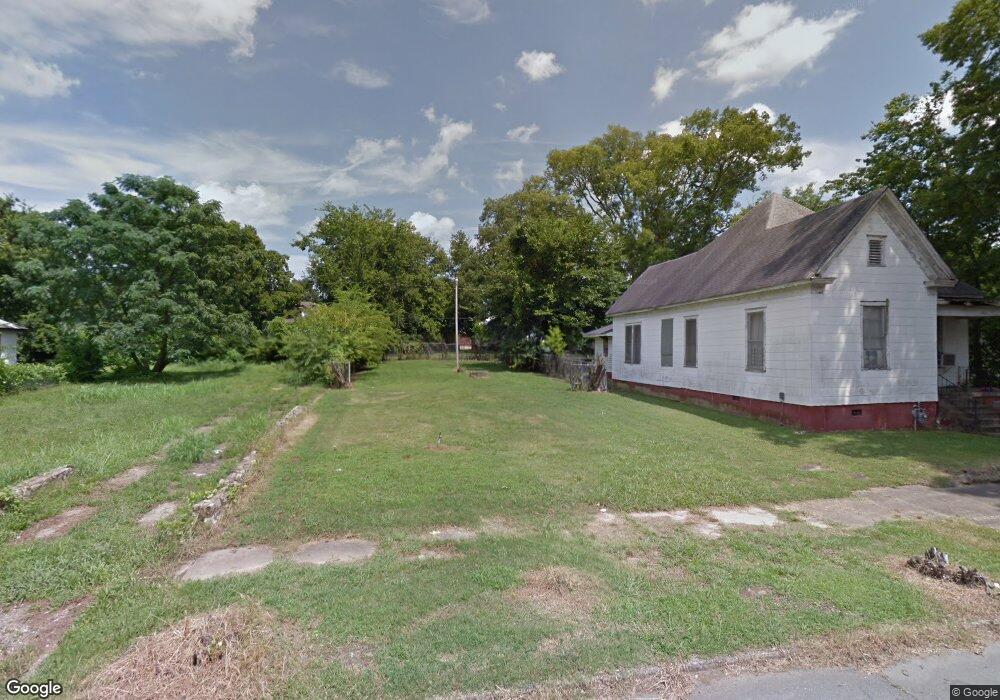
1215 S Pulaski St Little Rock, AR 72202
Downtown Little Rock NeighborhoodEstimated Value: $81,000 - $256,000
--
Bed
--
Bath
1,360
Sq Ft
$122/Sq Ft
Est. Value
About This Home
This home is located at 1215 S Pulaski St, Little Rock, AR 72202 and is currently estimated at $166,333, approximately $122 per square foot. 1215 S Pulaski St is a home located in Pulaski County with nearby schools including M.L. King Elementary School, Dunbar Magnet Middle School, and Central High School.
Ownership History
Date
Name
Owned For
Owner Type
Purchase Details
Closed on
Apr 16, 2014
Sold by
Commissioner Of State Lands
Bought by
Jones Courtney
Current Estimated Value
Purchase Details
Closed on
Apr 20, 2010
Sold by
Hawkins Larry D
Bought by
Ussery Rob
Purchase Details
Closed on
Mar 17, 2009
Sold by
Pulaski Choice Llc
Bought by
Hawkins Larry D
Purchase Details
Closed on
Feb 21, 2006
Sold by
Archoice Llc
Bought by
Pulaski Choice Llc
Purchase Details
Closed on
Feb 8, 2006
Sold by
Wilcox Mark
Bought by
Archoice Llc
Create a Home Valuation Report for This Property
The Home Valuation Report is an in-depth analysis detailing your home's value as well as a comparison with similar homes in the area
Home Values in the Area
Average Home Value in this Area
Purchase History
| Date | Buyer | Sale Price | Title Company |
|---|---|---|---|
| Jones Courtney | $608 | None Available | |
| Ussery Rob | -- | None Available | |
| Hawkins Larry D | $3,000 | None Available | |
| Pulaski Choice Llc | -- | None Available | |
| Archoice Llc | $2,010 | None Available |
Source: Public Records
Tax History Compared to Growth
Tax History
| Year | Tax Paid | Tax Assessment Tax Assessment Total Assessment is a certain percentage of the fair market value that is determined by local assessors to be the total taxable value of land and additions on the property. | Land | Improvement |
|---|---|---|---|---|
| 2024 | $98 | $1,400 | $1,400 | -- |
| 2023 | $98 | $1,400 | $1,400 | $0 |
| 2022 | $92 | $1,400 | $1,400 | $0 |
| 2021 | $85 | $1,200 | $1,200 | $0 |
| 2020 | $84 | $1,200 | $1,200 | $0 |
| 2019 | $84 | $1,200 | $1,200 | $0 |
| 2018 | $84 | $1,200 | $1,200 | $0 |
| 2017 | $84 | $1,200 | $1,200 | $0 |
| 2016 | $126 | $1,800 | $1,800 | $0 |
| 2015 | $97 | $1,800 | $1,800 | $0 |
| 2014 | $97 | $1,800 | $1,800 | $0 |
Source: Public Records
Map
Nearby Homes
- 1114 W 12th St
- 1518 S Cross St
- 1504 Bishop St
- 1015 W 15th St
- 1608 S Cross St
- 1417 Wolfe St
- 1416 S Izard St
- 1424 Wolfe St
- Lot 219/3 S State St Unit 34L0201116800
- 1515 S Izard St
- 1505 S State St
- 1621 S State St
- 1850 S Ringo St
- 1853 S Ringo St
- 1504 S Arch St
- 1855 S Chester St
- 1873 S Cross St
- 1867 S Ringo St
- 1509 W 19th St
- 720 S Arch St
- 1217 S Pulaski St
- 1211 Little Rock St
- 1205 S Pulaski St
- 1201 S Pulaski St
- 1214 S Cross St
- 1216 S Cross St
- 1210 S Cross St
- 1224 S Pulaski St
- 1224 S Cross St
- 1200 S Pulaski St
- 1217 W 13th St
- 1200 S Cross St
- 1306 W 13th St
- 1303 W 12th St
- 1200 & 1204 S Cross St
- 1307 S Pulaski St
- 1310 W 13th St
- 1300 S Cross St
- 1311 W 12th St
- 1121 S Pulaski St