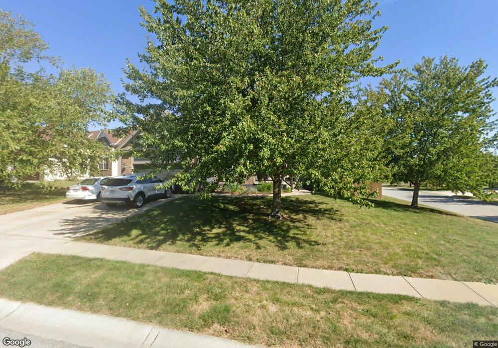
1215 SE 12th Ct Lees Summit, MO 64081
Estimated Value: $392,000 - $411,000
4
Beds
3
Baths
2,538
Sq Ft
$159/Sq Ft
Est. Value
About This Home
This home is located at 1215 SE 12th Ct, Lees Summit, MO 64081 and is currently estimated at $402,496, approximately $158 per square foot. 1215 SE 12th Ct is a home located in Jackson County with nearby schools including Sunset Valley Elementary School, Pleasant Lea Middle School, and Lee's Summit Senior High School.
Ownership History
Date
Name
Owned For
Owner Type
Purchase Details
Closed on
Jul 11, 2005
Sold by
Mellor Joan M and Mellor Michael G
Bought by
Hamline William Heath and Hamline Jennifer L
Current Estimated Value
Purchase Details
Closed on
Oct 2, 2000
Sold by
Mcgovern Builders Inc
Bought by
Harbison Joan M
Home Financials for this Owner
Home Financials are based on the most recent Mortgage that was taken out on this home.
Original Mortgage
$80,000
Interest Rate
7.6%
Mortgage Type
Purchase Money Mortgage
Purchase Details
Closed on
Jun 1, 2000
Sold by
Jkl Dev Inc
Bought by
Mcgovern Builders Inc
Home Financials for this Owner
Home Financials are based on the most recent Mortgage that was taken out on this home.
Original Mortgage
$157,400
Interest Rate
8.17%
Mortgage Type
Purchase Money Mortgage
Create a Home Valuation Report for This Property
The Home Valuation Report is an in-depth analysis detailing your home's value as well as a comparison with similar homes in the area
Home Values in the Area
Average Home Value in this Area
Purchase History
| Date | Buyer | Sale Price | Title Company |
|---|---|---|---|
| Hamline William Heath | -- | Stewart Title Of Kansas City | |
| Harbison Joan M | -- | Coffelt Land Title | |
| Mcgovern Builders Inc | -- | Coffelt Land Title |
Source: Public Records
Mortgage History
| Date | Status | Borrower | Loan Amount |
|---|---|---|---|
| Previous Owner | Harbison Joan M | $80,000 | |
| Previous Owner | Mcgovern Builders Inc | $157,400 |
Source: Public Records
Tax History Compared to Growth
Tax History
| Year | Tax Paid | Tax Assessment Tax Assessment Total Assessment is a certain percentage of the fair market value that is determined by local assessors to be the total taxable value of land and additions on the property. | Land | Improvement |
|---|---|---|---|---|
| 2025 | $4,665 | $63,823 | $9,270 | $54,553 |
| 2024 | $5,333 | $64,600 | $9,124 | $55,476 |
| 2023 | $5,333 | $74,397 | $7,344 | $67,053 |
| 2022 | $3,896 | $48,260 | $8,769 | $39,491 |
| 2021 | $3,976 | $48,260 | $8,769 | $39,491 |
| 2020 | $4,014 | $48,246 | $8,769 | $39,477 |
| 2019 | $3,905 | $48,246 | $8,769 | $39,477 |
| 2018 | $1,476,967 | $40,858 | $3,792 | $37,066 |
| 2017 | $3,563 | $40,858 | $3,792 | $37,066 |
| 2016 | $3,342 | $37,924 | $4,465 | $33,459 |
| 2014 | $3,217 | $35,796 | $4,469 | $31,327 |
Source: Public Records
Map
Nearby Homes
- 705 SE 11th Terrace
- 1335 SE Lexington Ave Unit C
- 1314 SE Norwood Dr
- 1412 SE Lexington Ave
- 1021 SE 12th St
- 1407 SE Norwood Dr
- 1313 SE Broadway Cir Unit B
- 1020 SE 11th St
- 727 SE 10th St
- 1335 SE Broadway Cir
- 1016 SE Claremont St
- 707 SE 14th St
- 1216 SE Warren Dr
- 1224 SE Windbreak Dr
- 1222 SE Windbreak Dr
- 1212 SE Windbreak Dr
- 1210 SE Windbreak Dr
- 1624 SE Dalton Dr
- 1218 SE Windbreak Dr
- 1216 SE Windbreak Dr
- 1211 SE 12th Ct
- 1214 SE 12th Ct
- 1210 SE 12th Ct
- 1207 SE 12th Ct
- 833 SE 12th Terrace
- 837 SE 12th Terrace
- 1203 SE 12th Ct
- 829 SE 12th Terrace
- 1206 SE 12th Ct
- 841 SE 12th Terrace
- 1202 SE 12th Ct
- 1224 SE Cape Dr
- 1228 SE Cape Dr
- 1202 SE 12 Ct
- 1220 SE Cape Dr
- 821 SE 12th Terrace
- 1216 SE Cape Dr
- 1213 SE 12th Cir
- 1209 SE 12th Cir
- 1205 SE 12th Cir