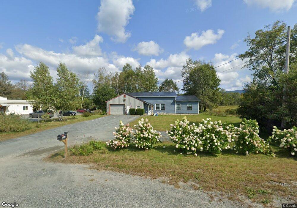
1215 Us Route 4 Canaan, NH 03741
Estimated Value: $380,000 - $455,557
3
Beds
2
Baths
1,943
Sq Ft
$211/Sq Ft
Est. Value
About This Home
This home is located at 1215 Us Route 4, Canaan, NH 03741 and is currently estimated at $410,139, approximately $211 per square foot. 1215 Us Route 4 is a home located in Grafton County with nearby schools including Canaan Elementary School, Indian River School, and Mascoma Valley Regional High School.
Ownership History
Date
Name
Owned For
Owner Type
Purchase Details
Closed on
Aug 20, 2021
Sold by
Mcgrath David
Bought by
Buckwold Jillian R and Kenney Phillip C
Current Estimated Value
Home Financials for this Owner
Home Financials are based on the most recent Mortgage that was taken out on this home.
Original Mortgage
$228,800
Outstanding Balance
$207,737
Interest Rate
2.8%
Mortgage Type
New Conventional
Estimated Equity
$202,402
Create a Home Valuation Report for This Property
The Home Valuation Report is an in-depth analysis detailing your home's value as well as a comparison with similar homes in the area
Home Values in the Area
Average Home Value in this Area
Purchase History
| Date | Buyer | Sale Price | Title Company |
|---|---|---|---|
| Buckwold Jillian R | $150,000 | None Available |
Source: Public Records
Mortgage History
| Date | Status | Borrower | Loan Amount |
|---|---|---|---|
| Open | Buckwold Jillian R | $228,800 |
Source: Public Records
Tax History Compared to Growth
Tax History
| Year | Tax Paid | Tax Assessment Tax Assessment Total Assessment is a certain percentage of the fair market value that is determined by local assessors to be the total taxable value of land and additions on the property. | Land | Improvement |
|---|---|---|---|---|
| 2024 | $6,792 | $230,000 | $83,100 | $146,900 |
| 2023 | $6,245 | $230,000 | $83,100 | $146,900 |
| 2022 | $4,990 | $183,800 | $83,100 | $100,700 |
| 2021 | $3,880 | $145,300 | $83,100 | $62,200 |
| 2020 | $1,954 | $56,800 | $32,700 | $24,100 |
| 2019 | $1,870 | $56,800 | $32,700 | $24,100 |
| 2018 | $1,833 | $56,800 | $32,700 | $24,100 |
| 2017 | $1,575 | $49,600 | $32,700 | $16,900 |
| 2016 | $1,561 | $49,600 | $32,700 | $16,900 |
| 2015 | $3,166 | $104,600 | $51,900 | $52,700 |
| 2014 | $2,921 | $104,600 | $51,900 | $52,700 |
| 2013 | $2,633 | $104,600 | $51,900 | $52,700 |
Source: Public Records
Map
Nearby Homes
- 47 Nh Route 118
- 35 Canaan St
- 1145 Us Route 4
- 0 US Route 4 Unit 34 5038886
- 0 US Route 4 Unit 94
- 33 Bruce Rd
- 390 New Hampshire 118
- 242 Jerusalem Rd
- lot 9 Strawbrook Ln
- 0 Potato Rd Unit 75A
- 00 Canaan St Unit 39B
- 00 Canaan St Unit 39A
- 532 Canaan St
- 9 Dove Ln
- 613 New Hampshire 118
- 25 Rogers Way
- 00 Derush Rd Unit 2
- 41 Lunar Dr
- 27 Lunar Dr
- 132 Stevens Rd
- 1202 U S 4
- 1233 Us Route 4
- 1194 U S 4
- 1194 Us Route 4
- 1 New Hampshire 118
- 0 Nh Route 118 - Lot #4 Unit 4682591
- 0 Nh Route 118 - Lot #2 Unit 4682588
- 0 Nh Route 118 - Lot #4 Unit 4468907
- 0 Nh Route 118 - Lot #2 Unit 4468732
- 30 New Hampshire 118
- 30 Nh Route 118
- 0 Nh Route 118 Unit 4715891
- 0 Nh Route 118 Unit 4707985
- 0 Nh Route 118 Unit 42 4696541
- 0 Nh Route 118
- 0 N H Route 118
- 0 N H Route 118
- 0 Nh Route 118
- 0 Nh Route 118 Unit 5041266
- 0 Nh Route 118 Unit 2814814