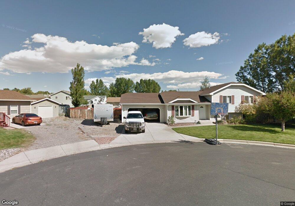
1215 W 12th Street Cir Laurel, MT 59044
Estimated Value: $380,000 - $418,000
4
Beds
3
Baths
1,918
Sq Ft
$204/Sq Ft
Est. Value
About This Home
This home is located at 1215 W 12th Street Cir, Laurel, MT 59044 and is currently estimated at $391,771, approximately $204 per square foot. 1215 W 12th Street Cir is a home located in Yellowstone County with nearby schools including West School, Fred W. Graff School, and Laurel Middle School.
Ownership History
Date
Name
Owned For
Owner Type
Purchase Details
Closed on
Jul 7, 2020
Sold by
Weishoff Jonathan R
Bought by
Thompson Jay and Thompson Lacey
Current Estimated Value
Home Financials for this Owner
Home Financials are based on the most recent Mortgage that was taken out on this home.
Original Mortgage
$179,000
Outstanding Balance
$159,020
Interest Rate
3.2%
Mortgage Type
New Conventional
Estimated Equity
$232,751
Purchase Details
Closed on
Jan 15, 2010
Sold by
Goettlich Lin Dee and Goettlich Michelle Angelique
Bought by
Weishoff Jonathan R
Home Financials for this Owner
Home Financials are based on the most recent Mortgage that was taken out on this home.
Original Mortgage
$150,000
Interest Rate
4.68%
Mortgage Type
New Conventional
Create a Home Valuation Report for This Property
The Home Valuation Report is an in-depth analysis detailing your home's value as well as a comparison with similar homes in the area
Home Values in the Area
Average Home Value in this Area
Purchase History
| Date | Buyer | Sale Price | Title Company |
|---|---|---|---|
| Thompson Jay | -- | Stewart Title Company | |
| Weishoff Jonathan R | -- | None Available |
Source: Public Records
Mortgage History
| Date | Status | Borrower | Loan Amount |
|---|---|---|---|
| Open | Thompson Jay | $179,000 | |
| Previous Owner | Weishoff Jonathan R | $150,000 |
Source: Public Records
Tax History Compared to Growth
Tax History
| Year | Tax Paid | Tax Assessment Tax Assessment Total Assessment is a certain percentage of the fair market value that is determined by local assessors to be the total taxable value of land and additions on the property. | Land | Improvement |
|---|---|---|---|---|
| 2025 | $3,221 | $389,800 | $63,592 | $326,208 |
| 2024 | $3,221 | $331,400 | $41,462 | $289,938 |
| 2023 | $2,966 | $331,400 | $41,462 | $289,938 |
| 2022 | $2,120 | $254,000 | $0 | $0 |
| 2021 | $2,447 | $254,000 | $0 | $0 |
| 2020 | $2,211 | $222,900 | $0 | $0 |
| 2019 | $2,199 | $222,900 | $0 | $0 |
| 2018 | $2,206 | $214,700 | $0 | $0 |
| 2017 | $2,044 | $214,700 | $0 | $0 |
| 2016 | $1,991 | $210,100 | $0 | $0 |
| 2015 | $1,967 | $210,100 | $0 | $0 |
| 2014 | $1,660 | $91,425 | $0 | $0 |
Source: Public Records
Map
Nearby Homes
- 1109 10th Ave
- 1013 W 12th St
- 1036 9th Ave
- 403 Grandview Blvd
- 512 W 14th St
- 1106 W 12th St
- 109 E 12th St
- 1013 Rochelle Dr
- TBD Block 3 Lot 9
- 1014 Rochelle Ln
- TBD Block 1 Lot 2
- TBD Block 3 Lot 1
- TBD Block 1 Lot 3
- TBD Block 3 Lot 4
- 1003 Montana Ave
- TBD Block 3 Lot 6
- 1336 Pennsylvania Ave
- 110 E 5th St
- 1018 Els Dr
- 516 Pennsylvania Ave
- 1205 W 12th Street Cir
- 1218 Beartooth Dr
- 1230 W Beartooth Dr
- 1216 W 12th Street Cir
- 1206 Twelve Th St Cir W
- 1206 W 12th Street Cir
- 1208 Beartooth Dr
- 1212 W 12th Street Cir
- 702 W 12th St
- 1233 Beartooth Dr
- 0 W 12th St
- 1135 8th Ave
- 1248 Beartooth Dr
- 1241 Beartooth Dr
- 1219 Beartooth Dr
- 1132 7th Ave
- 1203 Beartooth Dr
- 801 W 12th St
- 1135 7th Ave
- 1131 8th Ave