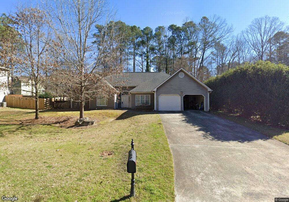
1215 Wynford Colony SW Unit 1 Marietta, GA 30064
West Cobb NeighborhoodEstimated Value: $457,000 - $480,000
4
Beds
3
Baths
2,572
Sq Ft
$181/Sq Ft
Est. Value
About This Home
This home is located at 1215 Wynford Colony SW Unit 1, Marietta, GA 30064 and is currently estimated at $465,275, approximately $180 per square foot. 1215 Wynford Colony SW Unit 1 is a home located in Cobb County with nearby schools including Dowell Elementary School, Lovinggood Middle School, and Hillgrove High School.
Ownership History
Date
Name
Owned For
Owner Type
Purchase Details
Closed on
Apr 28, 2017
Sold by
Not Provided
Bought by
2017 1 Ih Borrower Lp
Current Estimated Value
Purchase Details
Closed on
Nov 19, 2013
Sold by
Thr Georgia Lp
Bought by
2013 1 Ih Borrower Lp
Purchase Details
Closed on
Oct 2, 2012
Sold by
White Randall T
Bought by
Thr Georgia Llc
Purchase Details
Closed on
Jun 25, 1996
Sold by
Nicholls Robert S Sara E
Bought by
White Randall T
Purchase Details
Closed on
Aug 18, 1993
Sold by
Clark Steven Sharon O
Bought by
Nicholls Robert S Sara E
Home Financials for this Owner
Home Financials are based on the most recent Mortgage that was taken out on this home.
Original Mortgage
$100,000
Interest Rate
7.22%
Create a Home Valuation Report for This Property
The Home Valuation Report is an in-depth analysis detailing your home's value as well as a comparison with similar homes in the area
Home Values in the Area
Average Home Value in this Area
Purchase History
| Date | Buyer | Sale Price | Title Company |
|---|---|---|---|
| 2017 1 Ih Borrower Lp | -- | -- | |
| 2013 1 Ih Borrower Lp | -- | -- | |
| Thr Georgia Llc | $149,000 | -- | |
| White Randall T | $151,800 | -- | |
| Nicholls Robert S Sara E | $139,000 | -- |
Source: Public Records
Mortgage History
| Date | Status | Borrower | Loan Amount |
|---|---|---|---|
| Previous Owner | Nicholls Robert S Sara E | $100,000 | |
| Closed | White Randall T | $0 |
Source: Public Records
Tax History Compared to Growth
Tax History
| Year | Tax Paid | Tax Assessment Tax Assessment Total Assessment is a certain percentage of the fair market value that is determined by local assessors to be the total taxable value of land and additions on the property. | Land | Improvement |
|---|---|---|---|---|
| 2024 | $6,126 | $203,172 | $34,000 | $169,172 |
| 2023 | $5,210 | $172,804 | $34,000 | $138,804 |
| 2022 | $3,910 | $128,820 | $26,000 | $102,820 |
| 2021 | $3,120 | $102,800 | $21,600 | $81,200 |
| 2020 | $3,120 | $102,800 | $21,600 | $81,200 |
| 2019 | $3,262 | $107,484 | $21,600 | $85,884 |
| 2018 | $2,790 | $91,936 | $21,600 | $70,336 |
| 2017 | $2,643 | $91,936 | $21,600 | $70,336 |
| 2016 | $2,753 | $95,768 | $21,600 | $74,168 |
| 2015 | $2,342 | $79,496 | $21,660 | $57,836 |
| 2014 | $2,362 | $79,496 | $0 | $0 |
Source: Public Records
Map
Nearby Homes
- 2866 Wynford Dr SW Unit 2
- 1234 Wynford Colony SW
- 1237 Wynford Woods SW
- 1518 Sage Ridge Dr
- 1209 Wilkes Way SW Unit 1
- 3006 Coffman Ct SW
- 1004 Villa Rica Rd SW
- 1311 Bustling Ln SW
- 1313 Bustling Ln SW
- 2418 Southern Oak Dr SW
- 1567 Vine Leaf Dr
- 2673 Altony Dr SW
- 1765 Dew Place
- 1204 Commonwealth Ave SW
- 3001 Ashland Ct SW
- 895 Ovalene Ln SW
- 950 Steadman Terrace SW
- 1884 Dovonshire Rd SW
- 1215 Wynford Colony SW Unit 1215
- 1215 Wynford Colony SW
- 1217 Wynford Colony SW
- 1213 Wynford Colony SW
- 1112 Wynford Commons SW
- 1112 Wynford Commons SW
- 1112 Wynford Common SW
- 1212 Wynford Colony SW Unit 1
- 1219 Wynford Colony SW Unit 1
- 1216 Wynford Colony SW
- 1211 Wynford Colony SW
- 1216 Wynford Colony S W
- 1115 Wynford Commons SW
- 1110 Wynford Commons SW
- 0 Wynford Colony South W Unit 8707479
- 0 Wynford Colony South W Unit 8677307
- 0 Wynford Colony South W Unit 8616993
- 0 Wynford Colony South W Unit 8602943
- 0 Wynford Colony South W Unit 8603423
- 0 Wynford Colony South W Unit 8503623