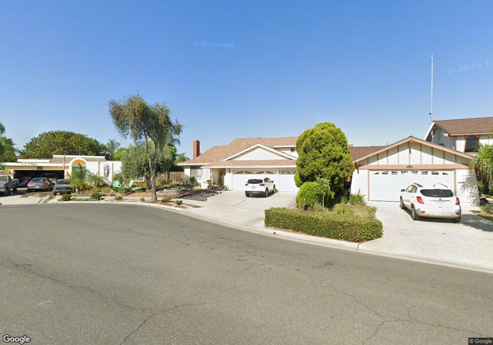
12151 Brittany Ln Stanton, CA 90680
Estimated Value: $1,098,514 - $1,140,000
4
Beds
2
Baths
2,262
Sq Ft
$493/Sq Ft
Est. Value
About This Home
This home is located at 12151 Brittany Ln, Stanton, CA 90680 and is currently estimated at $1,115,629, approximately $493 per square foot. 12151 Brittany Ln is a home located in Orange County with nearby schools including Lawrence Elementary School, Alamitos Intermediate School, and Rancho Alamitos High School.
Ownership History
Date
Name
Owned For
Owner Type
Purchase Details
Closed on
Jul 25, 1997
Sold by
Aoki Mitsuho B and Aoki Eiko
Bought by
Vu Michel
Current Estimated Value
Home Financials for this Owner
Home Financials are based on the most recent Mortgage that was taken out on this home.
Original Mortgage
$164,800
Outstanding Balance
$23,470
Interest Rate
7.43%
Estimated Equity
$1,092,159
Create a Home Valuation Report for This Property
The Home Valuation Report is an in-depth analysis detailing your home's value as well as a comparison with similar homes in the area
Home Values in the Area
Average Home Value in this Area
Purchase History
| Date | Buyer | Sale Price | Title Company |
|---|---|---|---|
| Vu Michel | $206,000 | -- |
Source: Public Records
Mortgage History
| Date | Status | Borrower | Loan Amount |
|---|---|---|---|
| Open | Vu Michel | $164,800 |
Source: Public Records
Tax History
| Year | Tax Paid | Tax Assessment Tax Assessment Total Assessment is a certain percentage of the fair market value that is determined by local assessors to be the total taxable value of land and additions on the property. | Land | Improvement |
|---|---|---|---|---|
| 2025 | $4,041 | $328,922 | $191,266 | $137,656 |
| 2024 | $4,041 | $322,473 | $187,516 | $134,957 |
| 2023 | $3,966 | $316,150 | $183,839 | $132,311 |
| 2022 | $3,883 | $309,951 | $180,234 | $129,717 |
| 2021 | $3,845 | $303,874 | $176,700 | $127,174 |
| 2020 | $3,792 | $300,759 | $174,889 | $125,870 |
| 2019 | $3,721 | $294,862 | $171,460 | $123,402 |
| 2018 | $3,647 | $289,081 | $168,098 | $120,983 |
| 2017 | $3,597 | $283,413 | $164,802 | $118,611 |
| 2016 | $3,448 | $277,856 | $161,570 | $116,286 |
| 2015 | $3,401 | $273,683 | $159,143 | $114,540 |
| 2014 | $3,322 | $268,322 | $156,025 | $112,297 |
Source: Public Records
Map
Nearby Homes
- 52 Bigsby Dr
- 23 Bigsby Dr
- 28 Bigsby Dr
- 30 Bigsby Dr
- 47 Bigsby Dr
- 31 Bigsby Dr
- 12101 Dale Ave Unit 69
- 8574 Chapman Ave Unit A
- 834 Chateau Ct
- 12162 Fieldgate St
- 8111 Stanford Ave Unit 128
- 8111 Stanford Ave Unit 98
- 8111 Stanford Ave Unit 127
- 8651 Green Valley Ln
- 11901 Santa Cruz St
- 12603 Josephine St
- 8895 Sequoia Ct
- 12771 Lorna St
- 7720 Elmdale Way Unit E
- 7720 Elmdale Way Unit H
- 12141 Brittany Ln
- 12150 Autumn Ln
- 12161 Brittany Ln
- 12140 Autumn Ln
- 12170 Brittany Ln
- 12131 Brittany Ln
- 12160 Autumn Ln
- 12150 Brittany Ln
- 12140 Brittany Ln
- 8230 Briarwood St
- 8220 Briarwood St
- 12160 Brittany Ln
- 8261 Winterwood Ave
- 8271 Winterwood Ave
- 8240 Briarwood St
- 8210 Briarwood St
- 8251 Winterwood Ave
- 12130 Brittany Ln
- 8281 Winterwood Ave
- 12151 Autumn Ln
Your Personal Tour Guide
Ask me questions while you tour the home.