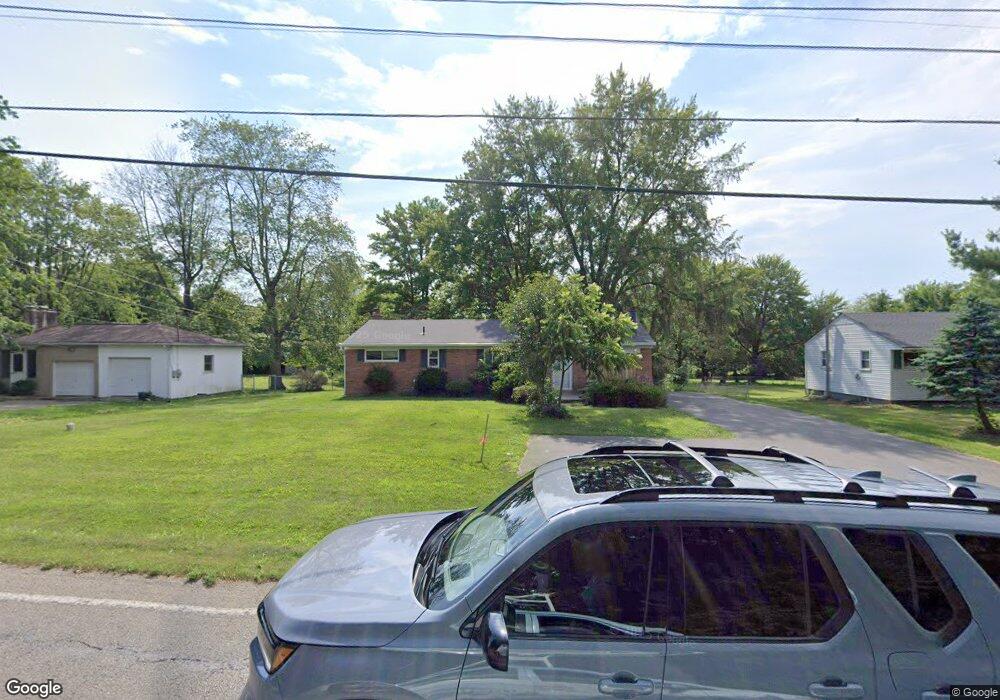
12157 Conrey Rd Cincinnati, OH 45249
Highpoint NeighborhoodEstimated Value: $198,000 - $263,000
3
Beds
3
Baths
1,352
Sq Ft
$175/Sq Ft
Est. Value
About This Home
This home is located at 12157 Conrey Rd, Cincinnati, OH 45249 and is currently estimated at $236,106, approximately $174 per square foot. 12157 Conrey Rd is a home located in Hamilton County with nearby schools including Stewart Elementary School, Princeton Community Middle School, and Princeton High School.
Ownership History
Date
Name
Owned For
Owner Type
Purchase Details
Closed on
Dec 27, 2021
Sold by
Partin Tyler G
Bought by
Mccaw Jeff
Current Estimated Value
Purchase Details
Closed on
Jul 23, 2019
Sold by
Rose Ronald and Rose Nancy G
Bought by
Partin Tyler G
Home Financials for this Owner
Home Financials are based on the most recent Mortgage that was taken out on this home.
Original Mortgage
$115,862
Interest Rate
4.25%
Mortgage Type
FHA
Create a Home Valuation Report for This Property
The Home Valuation Report is an in-depth analysis detailing your home's value as well as a comparison with similar homes in the area
Home Values in the Area
Average Home Value in this Area
Purchase History
| Date | Buyer | Sale Price | Title Company |
|---|---|---|---|
| Mccaw Jeff | $185,000 | Wave Title Agency Inc | |
| Partin Tyler G | $118,000 | Wave Title Agency |
Source: Public Records
Mortgage History
| Date | Status | Borrower | Loan Amount |
|---|---|---|---|
| Previous Owner | Partin Tyler G | $115,862 |
Source: Public Records
Tax History Compared to Growth
Tax History
| Year | Tax Paid | Tax Assessment Tax Assessment Total Assessment is a certain percentage of the fair market value that is determined by local assessors to be the total taxable value of land and additions on the property. | Land | Improvement |
|---|---|---|---|---|
| 2024 | $2,912 | $64,751 | $11,029 | $53,722 |
| 2023 | $2,919 | $64,751 | $11,029 | $53,722 |
| 2022 | $2,317 | $41,300 | $10,059 | $31,241 |
| 2021 | $2,252 | $41,300 | $10,059 | $31,241 |
| 2020 | $2,282 | $41,300 | $10,059 | $31,241 |
| 2019 | $1,625 | $35,820 | $8,824 | $26,996 |
| 2018 | $1,535 | $35,820 | $8,824 | $26,996 |
| 2017 | $1,438 | $35,820 | $8,824 | $26,996 |
| 2016 | $1,345 | $33,860 | $8,999 | $24,861 |
| 2015 | $1,367 | $33,860 | $8,999 | $24,861 |
| 2014 | $1,372 | $33,860 | $8,999 | $24,861 |
| 2013 | $1,312 | $33,198 | $8,824 | $24,374 |
Source: Public Records
Map
Nearby Homes
- 6891 Fields Ertel Rd
- 12121 3rd Ave
- 12152 3rd Ave
- 12109 4th Ave
- 7199 Fieldstone Ct
- 9729 Old Stable Ct
- 9609 Cedar Knoll Dr
- 7965 Timberbreak Dr
- 5725 Sovereign Dr
- 5600 E Kemper Rd
- 11794 Tennyson Dr
- 5446 Dickens Dr
- 9509 Butler Warren Rd
- 5375 Dickens Dr
- 5375 Londonderry Dr
- 8391 Dimmick Rd
- 9616 Holly Leaf Cir
- 8830 Butler Warren Rd
- 8820 Butler Warren Rd
- 9501 McCauly Rd
- 12167 Conrey Rd
- 12160 Eaglescout Ct
- 12141 Conrey Rd
- 12170 Eaglescout Ct
- 7107 Fields Ertel Rd
- 7081 Fields Ertel Rd
- 12146 Eaglescout Ct
- 12182 Conrey Rd
- 12131 Conrey Rd
- 7051 Fields Ertel Rd
- 7009 Fields Ertel Rd
- 12128 Eaglescout Ct
- 12169 Eaglescout Ct
- 12160 Conrey Rd
- 7201 Fields Ertel Rd
- 12113 Conrey Rd
- 6989 Fields Ertel Rd
- 12159 Eaglescout Ct
- 12118 Eaglescout Ct
- 12145 Eaglescout Ct