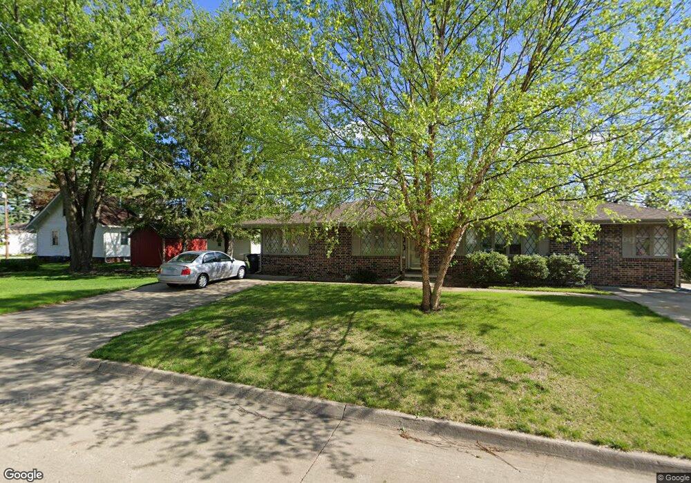
1216 Birch Ln Des Moines, IA 50315
Greater South Side NeighborhoodEstimated Value: $288,000 - $323,000
--
Bed
2
Baths
2,060
Sq Ft
$149/Sq Ft
Est. Value
About This Home
This home is located at 1216 Birch Ln, Des Moines, IA 50315 and is currently estimated at $307,366, approximately $149 per square foot. 1216 Birch Ln is a home located in Polk County with nearby schools including Park Avenue Elementary School, Brody Middle School, and Lincoln High School.
Ownership History
Date
Name
Owned For
Owner Type
Purchase Details
Closed on
Aug 12, 1998
Sold by
Cole Chester and Cole Marilyn
Bought by
Swinford Marsha Kay
Current Estimated Value
Home Financials for this Owner
Home Financials are based on the most recent Mortgage that was taken out on this home.
Original Mortgage
$94,500
Interest Rate
7.07%
Create a Home Valuation Report for This Property
The Home Valuation Report is an in-depth analysis detailing your home's value as well as a comparison with similar homes in the area
Home Values in the Area
Average Home Value in this Area
Purchase History
| Date | Buyer | Sale Price | Title Company |
|---|---|---|---|
| Swinford Marsha Kay | $104,500 | -- |
Source: Public Records
Mortgage History
| Date | Status | Borrower | Loan Amount |
|---|---|---|---|
| Previous Owner | Swinford Marsha Kay | $94,500 |
Source: Public Records
Tax History Compared to Growth
Tax History
| Year | Tax Paid | Tax Assessment Tax Assessment Total Assessment is a certain percentage of the fair market value that is determined by local assessors to be the total taxable value of land and additions on the property. | Land | Improvement |
|---|---|---|---|---|
| 2025 | $5,390 | $329,300 | $42,000 | $287,300 |
| 2024 | $5,390 | $291,500 | $36,500 | $255,000 |
| 2023 | $5,516 | $291,500 | $36,500 | $255,000 |
| 2022 | $5,472 | $242,900 | $32,400 | $210,500 |
| 2021 | $5,138 | $242,900 | $32,400 | $210,500 |
| 2020 | $5,332 | $214,500 | $28,400 | $186,100 |
| 2019 | $4,980 | $214,500 | $28,400 | $186,100 |
| 2018 | $4,924 | $193,800 | $25,300 | $168,500 |
| 2017 | $4,670 | $193,800 | $25,300 | $168,500 |
| 2016 | $4,546 | $181,200 | $23,200 | $158,000 |
| 2015 | $4,546 | $181,200 | $23,200 | $158,000 |
| 2014 | $4,294 | $176,600 | $22,100 | $154,500 |
Source: Public Records
Map
Nearby Homes
- 3808 SW 12th St
- 3824 SW 12th St
- 3724 SW 13th St
- 1222 Watrous Ave
- 3514 SW 12th St
- 4020 SW 12th St
- 4108 SW 12th St
- 3618 SW 9th St
- 1219 Elder Ln
- 3903 SW 9th St
- 3605 SW 9th St
- 1204 Elder Ln
- 3224 SW 13th Place
- 1230 Park Ave
- 1607 Carrie Ave
- 1207 Emma Ave
- 1223 Emma Ave
- 3125 SW 13th Place
- 4204 SW 7th St
- 606 Marion St
- 3720 SW 12th St
- 1226 Birch Ln
- 3728 SW 12th St
- 3800 SW 12th St
- 1221 Birch Ln
- 3710 SW 12th St
- 1230 Birch Ln
- 1135 Rose Ave
- 3810 SW 12th St
- 3708 SW 12th St
- 3709 SW 12th St
- 1227 Birch Ln
- 1129 Rose Ave
- 1234 Birch Ln
- 3816 SW 12th St
- 1134 Wolcott Ave
- 3803 SW 12th St
- 1231 Birch Ln
- 3624 SW 12th St
- 1125 Rose Ave