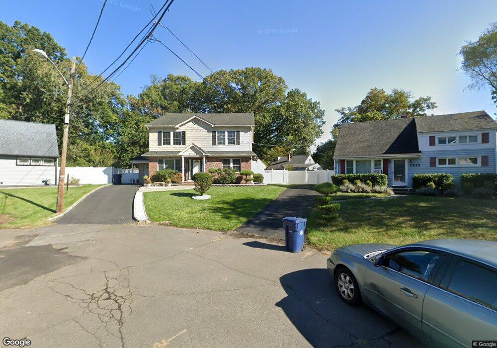
1216 Brewster Ct Unit 18 Plainfield, NJ 07060
Estimated Value: $529,000 - $744,000
--
Bed
--
Bath
2,688
Sq Ft
$250/Sq Ft
Est. Value
About This Home
This home is located at 1216 Brewster Ct Unit 18, Plainfield, NJ 07060 and is currently estimated at $672,246, approximately $250 per square foot. 1216 Brewster Ct Unit 18 is a home located in Union County with nearby schools including Evergreen Elementary School, Maxson Middle School, and Plainfield High School.
Ownership History
Date
Name
Owned For
Owner Type
Purchase Details
Closed on
Feb 17, 1995
Sold by
Adams Margaret S and Hinds James
Bought by
Thompson Rodney and Anderson Jacqueline A
Current Estimated Value
Create a Home Valuation Report for This Property
The Home Valuation Report is an in-depth analysis detailing your home's value as well as a comparison with similar homes in the area
Home Values in the Area
Average Home Value in this Area
Purchase History
| Date | Buyer | Sale Price | Title Company |
|---|---|---|---|
| Thompson Rodney | $119,000 | -- |
Source: Public Records
Tax History Compared to Growth
Tax History
| Year | Tax Paid | Tax Assessment Tax Assessment Total Assessment is a certain percentage of the fair market value that is determined by local assessors to be the total taxable value of land and additions on the property. | Land | Improvement |
|---|---|---|---|---|
| 2025 | $13,107 | $150,100 | $43,200 | $106,900 |
| 2024 | $12,978 | $150,100 | $43,200 | $106,900 |
| 2023 | $12,978 | $150,100 | $43,200 | $106,900 |
| 2022 | $12,697 | $150,100 | $43,200 | $106,900 |
| 2021 | $12,586 | $150,100 | $43,200 | $106,900 |
| 2020 | $12,550 | $150,100 | $43,200 | $106,900 |
| 2019 | $12,550 | $150,100 | $43,200 | $106,900 |
| 2018 | $12,287 | $150,100 | $43,200 | $106,900 |
| 2017 | $11,987 | $150,100 | $43,200 | $106,900 |
| 2016 | $11,742 | $150,100 | $43,200 | $106,900 |
| 2015 | $11,396 | $150,100 | $43,200 | $106,900 |
| 2014 | -- | $150,100 | $43,200 | $106,900 |
Source: Public Records
Map
Nearby Homes
- 1208 Moffett Ave Unit 12
- 1339 Park Ave Unit 41
- 1349 Park Ave Unit 53
- 1360 Belleview Ave Unit 64
- 1388 Belleview Ave Unit 90
- 1143 Stilford Ave Unit 45
- 1143-45 Stilford Ave
- 1454 S End Pkwy Unit 56
- 115 Ellsworth Ct Unit 17
- 77 Parkside Rd Unit 89
- 1358 Marlborough Ave Unit 60
- 117 Golf Ave E
- 1354 Chetwynd Ave Unit 58
- 221 Golf Ave E
- 132 Parkside Rd
- 1066 Allenwood Dr
- 125 Redding Ave
- 127 Remington Ave Unit 31
- 1905 Park Ave
- 1028 Evergreen Ave
- 1212 Brewster Ct Unit 14
- 1221 Brewster Ct Unit 23
- 1212-14 Brewster Ct
- 1227 Hazel Ave Unit 29
- 1231 Hazel Ave Unit 33
- 1223 Hazel Ave Unit 25
- 1217-19 Brewster Ct
- 1215 Hazel Ave Unit 21
- 1217 Brewster Ct Unit 19
- 1301 Park Ave Unit 5
- 1307 Park Ave Unit 9
- 1213-15 Brewster Ct
- 1311 Park Ave Unit 13
- 1213 Brewster Ct Unit 15
- 1282 Marion Ave Unit 84
- 1286 Marion Ave Unit 88
- 1271 Park Ave Unit 75
- 1315 Park Ave Unit 17
- 13-15 Park Ave
- 1290 Marion Ave Unit 92