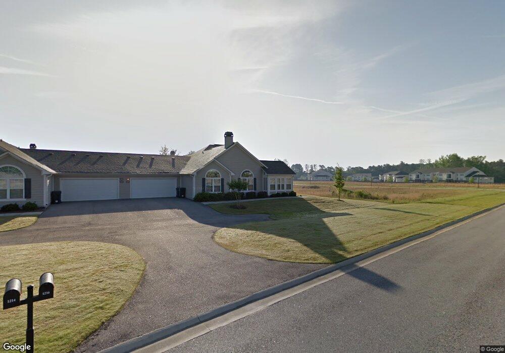
1216 Brookstone Way Unit F4 Augusta, GA 30909
Belair NeighborhoodEstimated Value: $301,000 - $356,000
3
Beds
3
Baths
1,999
Sq Ft
$161/Sq Ft
Est. Value
About This Home
This home is located at 1216 Brookstone Way Unit F4, Augusta, GA 30909 and is currently estimated at $321,146, approximately $160 per square foot. 1216 Brookstone Way Unit F4 is a home located in Richmond County with nearby schools including Sue Reynolds Elementary School, Langford Middle School, and Johnson Magnet.
Ownership History
Date
Name
Owned For
Owner Type
Purchase Details
Closed on
Sep 30, 2008
Sold by
Richmond Development Partners Llc
Bought by
Gardner Robbie C
Current Estimated Value
Home Financials for this Owner
Home Financials are based on the most recent Mortgage that was taken out on this home.
Original Mortgage
$227,156
Outstanding Balance
$149,928
Interest Rate
6.36%
Estimated Equity
$171,218
Create a Home Valuation Report for This Property
The Home Valuation Report is an in-depth analysis detailing your home's value as well as a comparison with similar homes in the area
Home Values in the Area
Average Home Value in this Area
Purchase History
| Date | Buyer | Sale Price | Title Company |
|---|---|---|---|
| Gardner Robbie C | $219,900 | None Available |
Source: Public Records
Mortgage History
| Date | Status | Borrower | Loan Amount |
|---|---|---|---|
| Open | Gardner Robbie C | $227,156 |
Source: Public Records
Tax History Compared to Growth
Tax History
| Year | Tax Paid | Tax Assessment Tax Assessment Total Assessment is a certain percentage of the fair market value that is determined by local assessors to be the total taxable value of land and additions on the property. | Land | Improvement |
|---|---|---|---|---|
| 2025 | $470 | $118,340 | $18,000 | $100,340 |
| 2024 | $470 | $111,752 | $18,000 | $93,752 |
| 2023 | $406 | $118,148 | $18,000 | $100,148 |
| 2022 | $311 | $95,686 | $18,000 | $77,686 |
| 2021 | $311 | $79,710 | $18,000 | $61,710 |
| 2020 | $311 | $79,710 | $18,000 | $61,710 |
| 2019 | $311 | $76,166 | $18,000 | $58,166 |
| 2018 | $311 | $76,166 | $18,000 | $58,166 |
| 2017 | $311 | $70,402 | $18,000 | $52,402 |
| 2016 | $311 | $70,402 | $18,000 | $52,402 |
| 2015 | $311 | $70,402 | $18,000 | $52,402 |
| 2014 | $404 | $70,402 | $18,000 | $52,402 |
Source: Public Records
Map
Nearby Homes
- 1230 Brookstone Way
- 5249 Aruba Cir
- 5149 Wheeler Lake Rd
- 3018 Hillcreek Dr
- 1404 Feldspar Ct
- 5047 Wheeler Lake Rd
- 1348 Maddox Dr
- 5034 Wheeler Lake Rd
- 3634 Wrightsboro Rd
- 2622 Chaucer Dr
- 2210 Larks Ct
- 2949 Hillcreek Dr
- 3605 Wrightsboro Rd
- 107 Barts Dr
- 1402 Marks Church Rd
- 4005 Calypso Dr
- 308 Nevis Dr
- 1264 Marks Church Rd
- 300 Nevis Dr
- 1413 Springfield Cir
- 1220 Brookstone Way
- 1214 Brookstone Way Unit F23B
- 1218 Brookstone Way
- 1224 Brookstone Way
- 1193 Brookstone Way Unit N/1
- 1189 Brookstone Way Unit N/4
- 1164 Brookstone Way
- 1164 Brookstone Way Unit E/1
- 1222 Brookstone Way
- 1185 Brookstone Way Unit O/1
- 1197 Brookstone Way
- 1160 Brookstone Way
- 1228 Brookstone Way
- 1228 Brookstone Way Unit 24C
- 1201 Brookstone Way
- 1181 Brookstone Way Unit O/2
- 1195 Brookstone Way Unit N/4
- 1162 Brookstone Way Unit E/2
- 1162 Brookstone Way Unit E
- 1162 Brookstone Way