1216 Brownstone Dr Unit 10 Marietta, GA 30008
Southwestern Marietta NeighborhoodEstimated Value: $389,041 - $428,000
3
Beds
4
Baths
2,110
Sq Ft
$190/Sq Ft
Est. Value
About This Home
This home is located at 1216 Brownstone Dr Unit 10, Marietta, GA 30008 and is currently estimated at $400,510, approximately $189 per square foot. 1216 Brownstone Dr Unit 10 is a home located in Cobb County with nearby schools including Dunleith Elementary School, Marietta Sixth Grade Academy, and Marietta Middle School.
Ownership History
Date
Name
Owned For
Owner Type
Purchase Details
Closed on
Apr 30, 2012
Sold by
Hart Toye D
Bought by
Willis Roy L and Denman Vivian
Current Estimated Value
Purchase Details
Closed on
Apr 23, 2007
Sold by
Raven Bldrs Llc
Bought by
Hart Toye D
Home Financials for this Owner
Home Financials are based on the most recent Mortgage that was taken out on this home.
Original Mortgage
$219,350
Interest Rate
6.11%
Mortgage Type
New Conventional
Create a Home Valuation Report for This Property
The Home Valuation Report is an in-depth analysis detailing your home's value as well as a comparison with similar homes in the area
Home Values in the Area
Average Home Value in this Area
Purchase History
| Date | Buyer | Sale Price | Title Company |
|---|---|---|---|
| Willis Roy L | $125,000 | -- | |
| Hart Toye D | $222,900 | -- |
Source: Public Records
Mortgage History
| Date | Status | Borrower | Loan Amount |
|---|---|---|---|
| Previous Owner | Hart Toye D | $219,350 |
Source: Public Records
Tax History Compared to Growth
Tax History
| Year | Tax Paid | Tax Assessment Tax Assessment Total Assessment is a certain percentage of the fair market value that is determined by local assessors to be the total taxable value of land and additions on the property. | Land | Improvement |
|---|---|---|---|---|
| 2025 | $494 | $153,868 | $44,000 | $109,868 |
| 2024 | $494 | $153,868 | $44,000 | $109,868 |
| 2023 | $342 | $139,300 | $36,000 | $103,300 |
| 2022 | $494 | $101,352 | $18,400 | $82,952 |
| 2021 | $508 | $101,352 | $18,400 | $82,952 |
| 2020 | $506 | $88,964 | $18,400 | $70,564 |
| 2019 | $506 | $88,964 | $18,400 | $70,564 |
| 2018 | $505 | $81,112 | $16,000 | $65,112 |
| 2017 | $406 | $81,112 | $16,000 | $65,112 |
| 2016 | $406 | $74,340 | $12,000 | $62,340 |
| 2015 | $314 | $51,320 | $12,000 | $39,320 |
| 2014 | $324 | $51,320 | $0 | $0 |
Source: Public Records
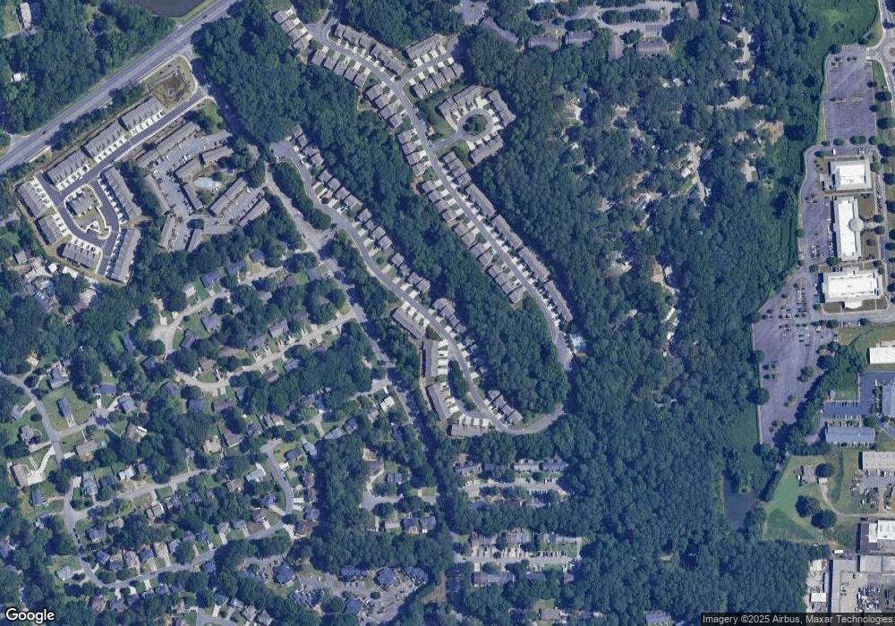
Map
Nearby Homes
- 1048 Brownstone Dr Unit 3
- 243 Brownstone Cir Unit 25
- 393 Cedar Trace SW Unit 1
- 264 Juliet Ln SW
- 1166 Booth Rd SW Unit 407
- 1166 Booth Rd SW Unit 205
- 1166 Booth Rd SW Unit 906
- 1166 Booth Rd SW Unit 908
- 1166 Booth Rd SW Unit 610
- 994 Powder Springs St
- 1038 Arden Dr SW
- 852 Hickory Dr SW
- 1230 Arden Dr SW
- 644 Laurel Wood Dr SW
- 375 Leisure Ct SW
- 662 Bouldercrest Dr SW
- 840 Hickory Dr SW
- 237 Toweridge Dr SW
- 105 Grampian Ct Unit 13
- 1216 Brownstone Dr Unit 40
- 1212 Brownstone Dr Unit 10
- 1212 Brownstone Dr
- 1220 Brownstone Dr Unit 10
- 1208 Brownstone Dr Unit 38
- 1208 Brownstone Dr Unit 10
- 1208 Brownstone Dr
- 1208 Brownstone Dr Unit 1208
- 1204 Brownstone Dr Unit 9
- 1217 Brownstone Dr Unit 15
- 989 Brownstone Ln Unit 62
- 989 Brownstone Ln
- 987 Brownstone Ln Unit 63
- 987 Brownstone Ln Unit 16
- 1224 Brownstone Dr
- 1224 Brownstone Dr Unit 42
- 1221 Brownstone Dr
- 1221 Brownstone Dr SW
- 1200 Brownstone Dr Unit 36
- 1200 Brownstone Dr Unit 9