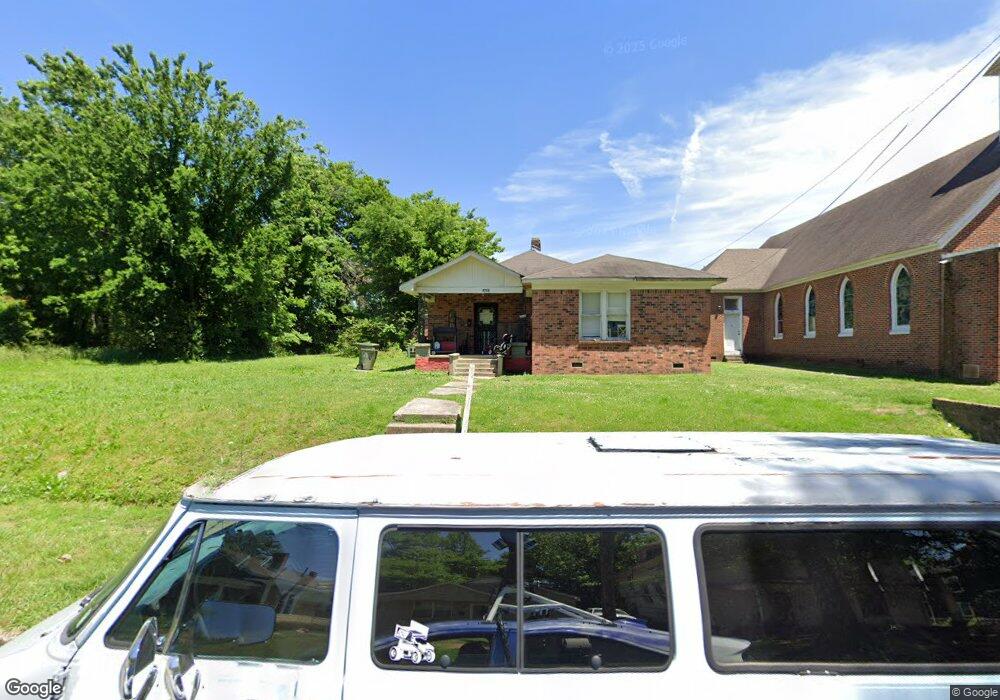
1216 Cummings St Memphis, TN 38106
Southeast Memphis NeighborhoodEstimated Value: $57,000 - $66,000
3
Beds
2
Baths
1,462
Sq Ft
$43/Sq Ft
Est. Value
About This Home
This home is located at 1216 Cummings St, Memphis, TN 38106 and is currently estimated at $62,526, approximately $42 per square foot. 1216 Cummings St is a home located in Shelby County with nearby schools including Cummings K-8, Hamilton High School, and Memphis Delta Preparatory Charter School.
Ownership History
Date
Name
Owned For
Owner Type
Purchase Details
Closed on
Mar 9, 2005
Sold by
Boshwit Bros Mortgage Corp
Bought by
Blount Sam
Current Estimated Value
Home Financials for this Owner
Home Financials are based on the most recent Mortgage that was taken out on this home.
Original Mortgage
$9,290
Interest Rate
5.6%
Mortgage Type
Purchase Money Mortgage
Purchase Details
Closed on
Jan 4, 2005
Sold by
Woods Douglas
Bought by
Boshwit Bros Mortgage Corp
Create a Home Valuation Report for This Property
The Home Valuation Report is an in-depth analysis detailing your home's value as well as a comparison with similar homes in the area
Home Values in the Area
Average Home Value in this Area
Purchase History
| Date | Buyer | Sale Price | Title Company |
|---|---|---|---|
| Blount Sam | $8,876 | -- | |
| Boshwit Bros Mortgage Corp | $3,300 | Memphis Title |
Source: Public Records
Mortgage History
| Date | Status | Borrower | Loan Amount |
|---|---|---|---|
| Closed | Blount Sam | $9,290 |
Source: Public Records
Tax History Compared to Growth
Tax History
| Year | Tax Paid | Tax Assessment Tax Assessment Total Assessment is a certain percentage of the fair market value that is determined by local assessors to be the total taxable value of land and additions on the property. | Land | Improvement |
|---|---|---|---|---|
| 2025 | $277 | $12,350 | $1,750 | $10,600 |
| 2024 | -- | $8,175 | $975 | $7,200 |
| 2023 | $498 | $8,175 | $975 | $7,200 |
| 2022 | $498 | $8,175 | $975 | $7,200 |
| 2021 | $504 | $8,175 | $975 | $7,200 |
| 2020 | $592 | $8,175 | $975 | $7,200 |
| 2019 | $592 | $8,175 | $975 | $7,200 |
| 2018 | $592 | $8,175 | $975 | $7,200 |
| 2017 | $336 | $8,175 | $975 | $7,200 |
| 2016 | $357 | $8,175 | $0 | $0 |
| 2014 | $357 | $8,175 | $0 | $0 |
Source: Public Records
Map
Nearby Homes
- 0 Niese St
- 1092 Talley Place
- 1086 E Trigg Ave
- 0 Azalia St
- 1277 Englewood St
- 1301 Englewood St
- 1421 College St
- 1391 College St
- 1297 College St
- 1248 College St
- 1222 Greenwood St
- 1260 Greenwood St
- 1097 & 1101 Cummings St
- 1197 James St
- 1271 College St
- 1093 Saxon Ave
- 1178 E Mclemore Ave
- 888 Stafford Ave
- 1051 College St
- 1388 Gaither St
- 1206 Cummings St
- 1202 Cummings St
- 1063 Stafford Ave
- 1062 Talley Place
- 1230 Cummings St
- 1069 Stafford Ave
- 1213 Cummings St
- 1219 Cummings St
- 1209 Cummings St
- 1061 Talley Place
- 1205 Cummings St
- 1065 Talley Place
- 1240 Cummings St
- 1199 Cummings St
- 1075 Stafford Ave
- 1229 Cummings St
- 1190 Cummings St
- 1082 Talley Place
- 1233 Cummings St
- 1077 Talley Place