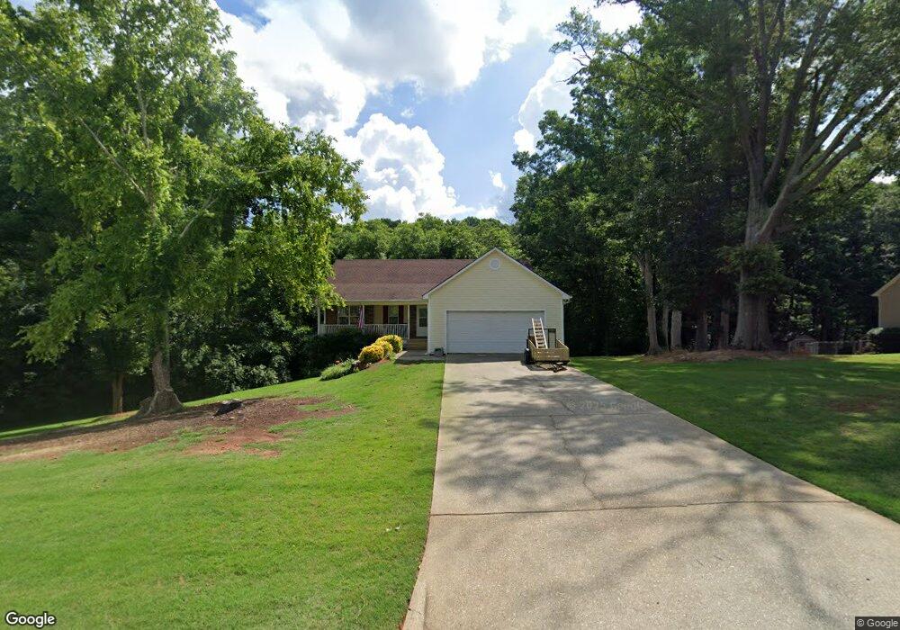
1216 Dale Dr Monroe, GA 30656
Estimated Value: $305,000 - $363,000
3
Beds
3
Baths
1,457
Sq Ft
$225/Sq Ft
Est. Value
About This Home
This home is located at 1216 Dale Dr, Monroe, GA 30656 and is currently estimated at $328,384, approximately $225 per square foot. 1216 Dale Dr is a home located in Barrow County with nearby schools including Bethlehem Elementary School, Haymon-Morris Middle School, and Apalachee High School.
Ownership History
Date
Name
Owned For
Owner Type
Purchase Details
Closed on
Apr 28, 2000
Sold by
White Oak Homes
Bought by
Palmer Raney D
Current Estimated Value
Home Financials for this Owner
Home Financials are based on the most recent Mortgage that was taken out on this home.
Original Mortgage
$64,900
Outstanding Balance
$22,583
Interest Rate
8.24%
Mortgage Type
New Conventional
Estimated Equity
$305,801
Purchase Details
Closed on
Nov 4, 1999
Sold by
Ado Inc
Bought by
White Oak Homes Inc
Purchase Details
Closed on
Feb 19, 1998
Bought by
Ado Inc
Create a Home Valuation Report for This Property
The Home Valuation Report is an in-depth analysis detailing your home's value as well as a comparison with similar homes in the area
Home Values in the Area
Average Home Value in this Area
Purchase History
| Date | Buyer | Sale Price | Title Company |
|---|---|---|---|
| Palmer Raney D | $118,400 | -- | |
| White Oak Homes Inc | $304,000 | -- | |
| Ado Inc | -- | -- |
Source: Public Records
Mortgage History
| Date | Status | Borrower | Loan Amount |
|---|---|---|---|
| Open | Palmer Raney D | $64,900 |
Source: Public Records
Tax History Compared to Growth
Tax History
| Year | Tax Paid | Tax Assessment Tax Assessment Total Assessment is a certain percentage of the fair market value that is determined by local assessors to be the total taxable value of land and additions on the property. | Land | Improvement |
|---|---|---|---|---|
| 2024 | $822 | $89,931 | $20,000 | $69,931 |
| 2023 | $782 | $84,331 | $14,000 | $70,331 |
| 2022 | $715 | $80,706 | $14,000 | $66,706 |
| 2021 | $704 | $71,865 | $14,000 | $57,865 |
| 2020 | $698 | $71,865 | $14,000 | $57,865 |
| 2019 | $728 | $71,865 | $14,000 | $57,865 |
| 2018 | $670 | $65,865 | $8,000 | $57,865 |
| 2017 | $1,364 | $46,846 | $8,000 | $38,846 |
| 2016 | $1,211 | $41,989 | $8,000 | $33,989 |
| 2015 | $1,227 | $42,375 | $8,000 | $34,375 |
| 2014 | $1,181 | $40,549 | $6,174 | $34,375 |
| 2013 | -- | $38,395 | $6,174 | $32,221 |
Source: Public Records
Map
Nearby Homes
- 1218 Dale Dr
- 0 Dale Dr Unit 7446284
- 0 Dale Dr Unit 7441369
- 0 Dale Dr Unit 7413787
- 0 Dale Dr Unit 7147559
- 0 Dale Dr Unit 7026282
- 0 Dale Dr Unit 3178595
- 0 Dale Dr Unit 3177100
- 0 Dale Dr Unit 3167837
- 0 Dale Dr Unit 8855311
- 0 Dale Dr Unit 8779891
- 0 Dale Dr Unit 8728907
- 0 Dale Dr Unit 8570011
- 0 Dale Dr Unit 8348071
- 0 Dale Dr Unit 8211103
- 0 Dale Dr Unit 8007027
- 0 Dale Dr Unit 3234037
- 0 Dale Dr Unit 7396651
- 0 Dale Dr Unit 3143936
- 463 Cade Ct