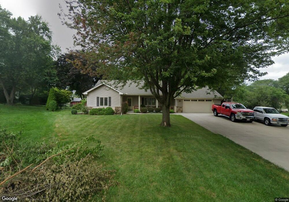
1216 Laurel Ln Schaumburg, IL 60193
South Schaumburg NeighborhoodEstimated Value: $505,000 - $607,000
4
Beds
3
Baths
2,074
Sq Ft
$264/Sq Ft
Est. Value
About This Home
This home is located at 1216 Laurel Ln, Schaumburg, IL 60193 and is currently estimated at $546,995, approximately $263 per square foot. 1216 Laurel Ln is a home located in Cook County with nearby schools including Frederick Nerge Elementary School, Margaret Mead Junior High School, and J B Conant High School.
Ownership History
Date
Name
Owned For
Owner Type
Purchase Details
Closed on
Oct 6, 2003
Sold by
Bureski Richard A and Bureski Karen T
Bought by
Itasca Bank & Trust Co and Trust #10947
Current Estimated Value
Purchase Details
Closed on
May 23, 2003
Sold by
Itasca Bank & Trust Co
Bought by
Bureski Richard A and Bureski Karen T
Home Financials for this Owner
Home Financials are based on the most recent Mortgage that was taken out on this home.
Original Mortgage
$92,500
Interest Rate
5.3%
Mortgage Type
Balloon
Create a Home Valuation Report for This Property
The Home Valuation Report is an in-depth analysis detailing your home's value as well as a comparison with similar homes in the area
Home Values in the Area
Average Home Value in this Area
Purchase History
| Date | Buyer | Sale Price | Title Company |
|---|---|---|---|
| Itasca Bank & Trust Co | -- | -- | |
| Bureski Richard A | -- | Rtc |
Source: Public Records
Mortgage History
| Date | Status | Borrower | Loan Amount |
|---|---|---|---|
| Previous Owner | Bureski Richard A | $92,500 |
Source: Public Records
Tax History Compared to Growth
Tax History
| Year | Tax Paid | Tax Assessment Tax Assessment Total Assessment is a certain percentage of the fair market value that is determined by local assessors to be the total taxable value of land and additions on the property. | Land | Improvement |
|---|---|---|---|---|
| 2024 | $9,253 | $36,346 | $11,022 | $25,324 |
| 2023 | $8,922 | $39,000 | $11,022 | $27,978 |
| 2022 | $8,922 | $39,000 | $11,022 | $27,978 |
| 2021 | $8,463 | $31,252 | $30,999 | $253 |
| 2020 | $8,385 | $31,252 | $30,999 | $253 |
| 2019 | $7,458 | $31,252 | $30,999 | $253 |
| 2018 | $8,847 | $32,915 | $26,177 | $6,738 |
| 2017 | $8,725 | $32,915 | $26,177 | $6,738 |
| 2016 | $8,402 | $32,915 | $26,177 | $6,738 |
| 2015 | $7,914 | $29,075 | $22,044 | $7,031 |
| 2014 | $8,455 | $31,144 | $22,044 | $9,100 |
| 2013 | $8,221 | $31,144 | $22,044 | $9,100 |
Source: Public Records
Map
Nearby Homes
- 1205 Laurel Ln
- 286 Nantucket Harbor Unit 601
- 1323 S Roselle Rd
- 13 W Monterey Ave
- 1420 Indian Hill Dr
- 125 Manchester Ct Unit 32A
- 1078 Newport Harbor Unit 6101
- 421 E Wise Rd
- 1100 Boston Harbor Unit 7004
- 211 Steeple Bush Ln Unit 10343
- 205 Steeple Bush Ln Unit 10444
- 1531 Marion St
- 1623 Indian Hill Dr
- 1630 Myrtle Park St
- 1630 Myrtle Park St
- 1342 Lunt Ct Unit 56
- 1630 Myrtle Park St
- 120 Pratt Blvd
- 717 Tipperary Ct Unit 1C
- 733 Limerick Ln Unit 7333D
- 1222 Laurel Ln
- 1208 Laurel Ln
- 111 E Wise Rd
- 105 E Wise Rd
- 122 E Niagara Ave
- 1228 Laurel Ln
- 1217 Laurel Ln
- 1211 Laurel Ln
- 35 E Wise Rd
- 1217 Indian Hill Dr
- 1234 Laurel Ln
- 1223 Indian Hill Dr
- 130 E Niagara Ave
- 1235 Laurel Ln
- 31 E Wise Rd
- 1227 Indian Hill Dr
- 1132 Tyler Dr
- 1129 Tyler Dr
- 1218 Greenview Ct
- 1300 Laurel Ln