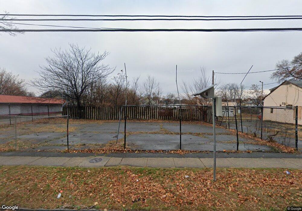
1216 N Broad St Hillside, NJ 07205
Westminster NeighborhoodEstimated Value: $889,623
--
Bed
--
Bath
--
Sq Ft
0.63
Acres
About This Home
This home is located at 1216 N Broad St, Hillside, NJ 07205 and is currently estimated at $889,623. 1216 N Broad St is a home with nearby schools including Abram P. Morris-Saybrook Elementary School, Hurden Looker School, and Ola Edwards Community School.
Ownership History
Date
Name
Owned For
Owner Type
Purchase Details
Closed on
Aug 11, 2008
Sold by
Sumo Urban Renewal Corp
Bought by
Sumo Hillside Inc
Current Estimated Value
Purchase Details
Closed on
Jul 2, 2008
Sold by
1216-1222 North Broad Street Llc
Bought by
Sumo Urban Renewal Corp
Purchase Details
Closed on
Apr 24, 1995
Sold by
Gorecki Roman
Bought by
Santos Amadeu and Santos Laurinda G
Create a Home Valuation Report for This Property
The Home Valuation Report is an in-depth analysis detailing your home's value as well as a comparison with similar homes in the area
Home Values in the Area
Average Home Value in this Area
Purchase History
| Date | Buyer | Sale Price | Title Company |
|---|---|---|---|
| Sumo Hillside Inc | -- | None Available | |
| Sumo Urban Renewal Corp | $500,000 | Acres Land Title Agency Llc | |
| Santos Amadeu | $115,000 | Stewart Title Guaranty Compa |
Source: Public Records
Tax History Compared to Growth
Tax History
| Year | Tax Paid | Tax Assessment Tax Assessment Total Assessment is a certain percentage of the fair market value that is determined by local assessors to be the total taxable value of land and additions on the property. | Land | Improvement |
|---|---|---|---|---|
| 2025 | $13,518 | $163,800 | $163,800 | -- |
| 2024 | $13,125 | $163,800 | $163,800 | $0 |
| 2023 | $13,125 | $163,800 | $163,800 | $0 |
| 2022 | $13,004 | $163,800 | $163,800 | $0 |
| 2021 | $12,919 | $163,800 | $163,800 | $0 |
| 2020 | $12,844 | $163,800 | $163,800 | $0 |
| 2019 | $12,595 | $163,800 | $163,800 | $0 |
| 2018 | $12,468 | $163,800 | $163,800 | $0 |
| 2017 | $12,393 | $163,800 | $163,800 | $0 |
| 2016 | $12,378 | $163,800 | $163,800 | $0 |
| 2015 | $12,269 | $163,800 | $163,800 | $0 |
| 2014 | $12,075 | $163,800 | $163,800 | $0 |
Source: Public Records
Map
Nearby Homes
- 1141 Church St
- 1432 Lexington Place Unit 1434
- 1408 Lexington Place Unit 1410
- 124 Woodruff Place
- 1379 Garfield Place
- 1444 N Broad St
- 170 Windsor Way
- 904 Cross Ave
- 1290 Baker St
- 1282 Baker St
- 1451 Bond St
- 71 Georgian Ct
- 420 Hollywood Ave
- 111 Hanford St
- 383 Conant St
- 155 Silver Ave
- 1473 Center St
- 149 Baltimore Ave
- 1406 Maple Ave
- 13 Wharton St
- 1202 N Broad St
- 11 Coe Ave Unit 13
- 15 Coe Ave Unit 17
- 1230 N Broad St
- 15-17 Coe Ave
- 1215 Robert St
- 1213 Robert St
- 1211 Robert St
- 19 Coe Ave
- 1221 Robert St
- 1223 Robert St
- 23 Coe Ave
- 11 13 Coe Ave
- 1242B N Broad St
- 1240B N Broad St
- 1242A N Broad St
- 1240A N Broad St
- 1240 N Broad St
- 1238B N Broad St
- 1234B N Broad St