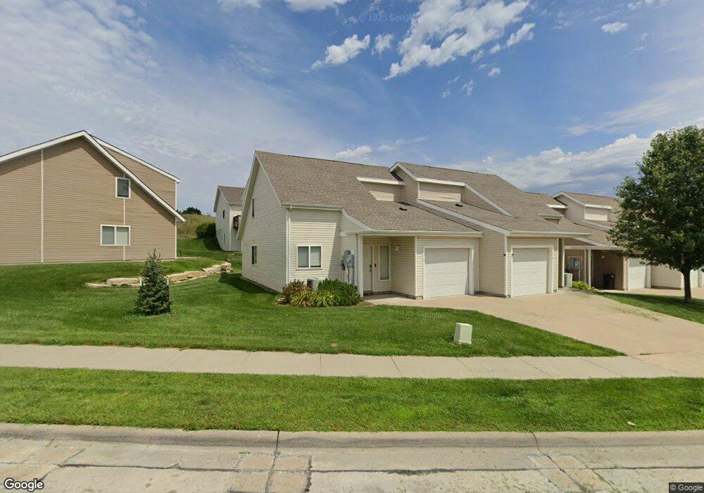
1216 Newfoundland Dr Manhattan, KS 66503
Estimated Value: $181,311 - $198,000
3
Beds
2
Baths
1,560
Sq Ft
$120/Sq Ft
Est. Value
About This Home
This home is located at 1216 Newfoundland Dr, Manhattan, KS 66503 and is currently estimated at $187,578, approximately $120 per square foot. 1216 Newfoundland Dr is a home located in Riley County with nearby schools including Amanda Arnold Elementary School, Susan B. Anthony Middle School, and Manhattan High School.
Ownership History
Date
Name
Owned For
Owner Type
Purchase Details
Closed on
Jun 13, 2018
Sold by
Mid Gey Llc
Bought by
Htx Inc
Current Estimated Value
Home Financials for this Owner
Home Financials are based on the most recent Mortgage that was taken out on this home.
Original Mortgage
$869,750
Outstanding Balance
$752,188
Interest Rate
4.5%
Mortgage Type
New Conventional
Estimated Equity
-$564,610
Create a Home Valuation Report for This Property
The Home Valuation Report is an in-depth analysis detailing your home's value as well as a comparison with similar homes in the area
Home Values in the Area
Average Home Value in this Area
Purchase History
| Date | Buyer | Sale Price | Title Company |
|---|---|---|---|
| Htx Inc | $1,156,767 | -- |
Source: Public Records
Mortgage History
| Date | Status | Borrower | Loan Amount |
|---|---|---|---|
| Open | Htx Inc | $869,750 |
Source: Public Records
Tax History Compared to Growth
Tax History
| Year | Tax Paid | Tax Assessment Tax Assessment Total Assessment is a certain percentage of the fair market value that is determined by local assessors to be the total taxable value of land and additions on the property. | Land | Improvement |
|---|---|---|---|---|
| 2025 | $2,775 | $20,459 | $1,977 | $18,482 |
| 2024 | $2,775 | $19,305 | $1,955 | $17,350 |
| 2023 | $2,667 | $18,377 | $1,841 | $16,536 |
| 2022 | $2,391 | $15,870 | $1,639 | $14,231 |
| 2021 | $2,099 | $13,735 | $1,613 | $12,122 |
| 2020 | $2,045 | $13,466 | $1,613 | $11,853 |
| 2019 | $2,099 | $13,708 | $1,613 | $12,095 |
| 2018 | $2,051 | $14,115 | $1,696 | $12,419 |
| 2017 | $4,290 | $15,559 | $1,466 | $14,093 |
| 2016 | $4,273 | $15,559 | $1,466 | $14,093 |
| 2014 | -- | $0 | $0 | $0 |
Source: Public Records
Map
Nearby Homes
- 5401 Lansdowne Cir
- 5405 Lansdowne Cir
- 1312 Newfoundland Dr
- 00000 Paddington Cir
- 5404 Lansdowne Cir
- 5409 Lansdowne Cir
- 00000 Kimble Ave
- 1520 Wyndham Heights Dr
- 1603 Wyndham Heights Dr
- 4105 Wycliffe Dr
- 4118 Scenic Crossing
- 4102 Scenic Crossing
- 614 Highland Ridge Dr
- 605 Harland Dr
- 2011 Grand Ridge Ct
- 2145 Grand Ridge Ct
- 2021 Grand Ridge Ct
- 2015 Grand Ridge Ct
- 1716 Westbank Way
- 1108 Morgan Ln
- 1212 Newfoundland Dr
- 1208 Newfoundland Dr
- 1300 Newfoundland Dr
- 1304 Newfoundland Dr
- 1204 Newfoundland Dr
- 1329 Sundance Dr
- 1325 Sundance Dr
- 1308 Newfoundland Dr
- 1321 Sundance Dr
- 1200 Newfoundland Dr
- 1317 Sundance Dr
- 1301 Newfoundland Dr
- 1309 Newfoundland Dr
- 1233 Newfoundland Dr
- 1313 Sundance Dr
- 1229 Newfoundland Dr
- 1313 Newfoundland Dr
- 1225 Newfoundland Dr
- 1309 Sundance Dr
- 1317 Newfoundland Dr